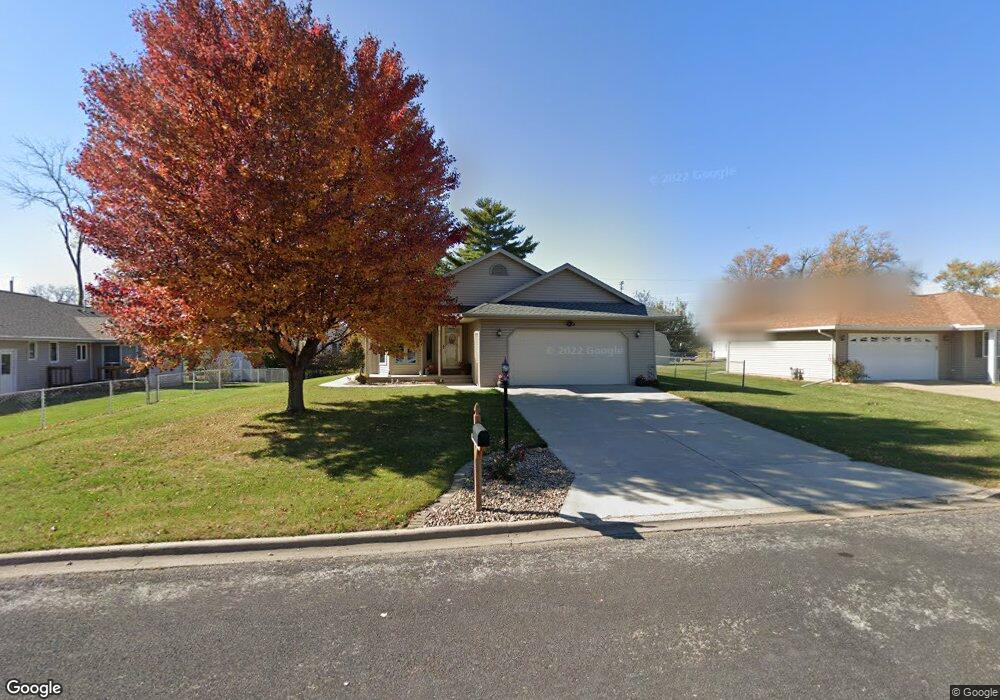
4019 S Paramount Rd Bartonville, IL 61607
Estimated Value: $193,000 - $223,000
2
Beds
2
Baths
1,426
Sq Ft
$145/Sq Ft
Est. Value
About This Home
This home is located at 4019 S Paramount Rd, Bartonville, IL 61607 and is currently estimated at $206,733, approximately $144 per square foot. 4019 S Paramount Rd is a home located in Peoria County with nearby schools including Oak Grove School, Oak Grove West School, and Limestone Community High School.
Ownership History
Date
Name
Owned For
Owner Type
Purchase Details
Closed on
Nov 6, 2019
Sold by
Jacobs John W and Jacobs Nancee E
Bought by
Nancee E Jacobs Trust
Current Estimated Value
Purchase Details
Closed on
Oct 31, 2019
Sold by
Jacobs John W and Jacobs Nancee E
Bought by
Nancee E Jacobs Trust
Purchase Details
Closed on
Apr 15, 1999
Bought by
Jacobs John W and Jacobs Nancee E
Create a Home Valuation Report for This Property
The Home Valuation Report is an in-depth analysis detailing your home's value as well as a comparison with similar homes in the area
Home Values in the Area
Average Home Value in this Area
Purchase History
| Date | Buyer | Sale Price | Title Company |
|---|---|---|---|
| Nancee E Jacobs Trust | -- | Black Black & Brown | |
| Nancee E Jacobs Trust | -- | Black Black & Brown | |
| Jacobs John W | $21,900 | -- |
Source: Public Records
Tax History Compared to Growth
Tax History
| Year | Tax Paid | Tax Assessment Tax Assessment Total Assessment is a certain percentage of the fair market value that is determined by local assessors to be the total taxable value of land and additions on the property. | Land | Improvement |
|---|---|---|---|---|
| 2024 | $3,193 | $66,870 | $13,540 | $53,330 |
| 2023 | $3,252 | $61,920 | $12,540 | $49,380 |
| 2022 | $3,300 | $57,100 | $11,770 | $45,330 |
| 2021 | $3,318 | $54,910 | $11,320 | $43,590 |
| 2020 | $3,207 | $53,840 | $11,100 | $42,740 |
| 2019 | $3,198 | $53,840 | $11,100 | $42,740 |
| 2018 | $3,126 | $53,820 | $11,100 | $42,720 |
| 2017 | $3,205 | $54,360 | $11,210 | $43,150 |
| 2016 | $3,259 | $54,910 | $11,320 | $43,590 |
| 2015 | $3,146 | $53,840 | $11,100 | $42,740 |
| 2014 | $3,092 | $55,330 | $10,900 | $44,430 |
| 2013 | -- | $55,330 | $10,900 | $44,430 |
Source: Public Records
Map
Nearby Homes
- 4206 S Granville Ave
- 11 Sandalwood Ln
- 3807 S Lafayette Ave
- 1 New Salem Rd
- 29 Gulf Stream Ave
- 4622 Meadow Ln
- 0 Correll Ct
- 811 W Garfield Ave
- 1000 Taylor Ln
- 605 Franklin Ave
- 5221 W Cisna Rd
- 0 S Skyway Rd
- 5914 Madison St
- 6113 S Adams St
- 7113 Depot St
- 5115 W Harp Hollow Rd
- #8 W Harp Hollow Rd
- 5801 S Jefferson St
- LOT 26 W Sunflower Dr
- 5807 S Adams St
- 4013 S Paramount Rd
- 5401 W Catherine Ave
- 4020 Airport Rd
- 4022 S Airport Rd
- 4022 Airport Rd
- 4016 Airport Rd
- 4009 S Paramount Rd
- 4026 Airport Rd
- 4012 Airport Rd
- 4010 S Airport Rd
- 4020 S Paramount Rd
- 4014 S Paramount Rd
- 4010 Airport Rd
- 4012 S Airport Rd
- 5402 Burns Ave
- 4008 Airport Rd
- 4104 Airport Rd
- 5322 Burns Ave
- 4004 Airport Rd
- 5408 W Catherine Ave