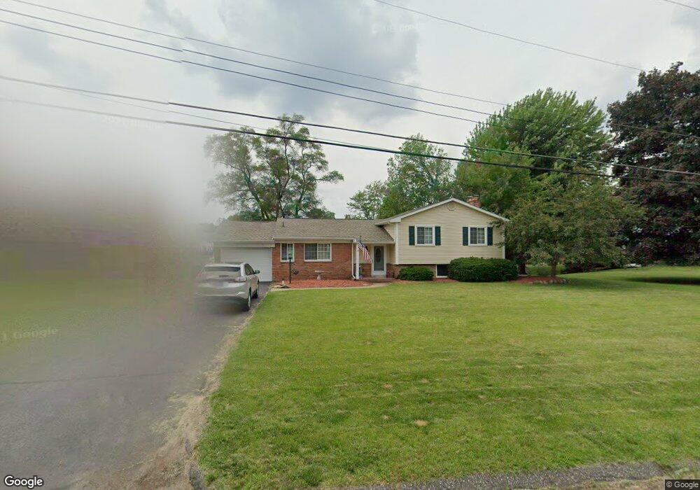
402 Beverly Island Dr Waterford, MI 48328
Waterford Township NeighborhoodEstimated Value: $490,000 - $610,000
3
Beds
2
Baths
2,100
Sq Ft
$250/Sq Ft
Est. Value
About This Home
This home is located at 402 Beverly Island Dr, Waterford, MI 48328 and is currently estimated at $524,923, approximately $249 per square foot. 402 Beverly Island Dr is a home located in Oakland County with nearby schools including Donelson Hills Elementary School, Mason Middle School, and Waterford Mott High School.
Ownership History
Date
Name
Owned For
Owner Type
Purchase Details
Closed on
Feb 12, 2020
Sold by
Carbaugh Kenneth J and Carbaugh Leigh
Bought by
Carbaugh Kenneth J and Carbaugh Leigh
Current Estimated Value
Purchase Details
Closed on
May 27, 2010
Sold by
Loussia Brian G and Loussia Michele
Bought by
Carbaugh Kenneth J
Purchase Details
Closed on
Dec 20, 2004
Sold by
Edelheit Darin S and Edelhiet Mardi Jo
Bought by
Loussia Brian G
Purchase Details
Closed on
Jun 28, 2001
Sold by
Roat David E
Bought by
Edelheit Darin S
Create a Home Valuation Report for This Property
The Home Valuation Report is an in-depth analysis detailing your home's value as well as a comparison with similar homes in the area
Home Values in the Area
Average Home Value in this Area
Purchase History
| Date | Buyer | Sale Price | Title Company |
|---|---|---|---|
| Carbaugh Kenneth J | -- | None Available | |
| Carbaugh Kenneth J | $280,000 | Interstate Title Inc | |
| Loussia Brian G | $363,000 | Metropolitan Title Company | |
| Edelheit Darin S | $305,000 | -- |
Source: Public Records
Tax History Compared to Growth
Tax History
| Year | Tax Paid | Tax Assessment Tax Assessment Total Assessment is a certain percentage of the fair market value that is determined by local assessors to be the total taxable value of land and additions on the property. | Land | Improvement |
|---|---|---|---|---|
| 2024 | $3,228 | $208,040 | $0 | $0 |
| 2023 | $3,090 | $197,140 | $0 | $0 |
| 2022 | $5,057 | $179,210 | $0 | $0 |
| 2021 | $4,801 | $177,390 | $0 | $0 |
| 2020 | $2,829 | $179,860 | $0 | $0 |
| 2019 | $4,694 | $174,990 | $0 | $0 |
| 2018 | $4,647 | $167,030 | $0 | $0 |
| 2017 | $4,267 | $167,030 | $0 | $0 |
| 2016 | $4,259 | $168,770 | $0 | $0 |
| 2015 | -- | $163,620 | $0 | $0 |
| 2014 | -- | $125,990 | $0 | $0 |
| 2011 | -- | $108,440 | $0 | $0 |
Source: Public Records
Map
Nearby Homes
- 345 Beverly Island Dr
- 321 Beverly Estates Dr Unit 5
- 3014 Edgewater Dr
- 3066 W Huron St
- 433 Hogarth St
- 425 Hogarth St
- 424 Hogarth St
- The Dover Plan at Hogarth
- The Dawson Plan at Hogarth
- The Concord Plan at Hogarth
- The Everest Plan at Hogarth
- 540 Lake Village Ave
- 603 Woodingham Ave
- 581 S Winding Dr
- 2918 Woodbine Dr
- 715 Woodingham Ave
- 3313 Harbours Blvd
- 445 Lakeside Dr
- 3168 Herbell Dr
- 265 Hillcliff Dr
- 410 Beverly Island Dr
- 372 Beverly Island Dr
- 418 Beverly Island Dr
- 401 Beverly Island Dr
- 409 Beverly Island Dr
- 393 Beverly Island Dr
- 360 Beverly Island Dr
- 417 Beverly Island Dr
- 426 Beverly Island Dr
- 385 Beverly Island Dr
- 348 Beverly Island Dr
- 425 Beverly Island Dr
- 434 Beverly Island Dr
- 377 Beverly Island Dr
- 369 Beverly Island Dr
- 342 Beverly Island Dr
- 433 Beverly Island Dr
- 442 Beverly Island Dr
- 337 Beverly Estates Dr Unit 7
- 441 Beverly Island Dr