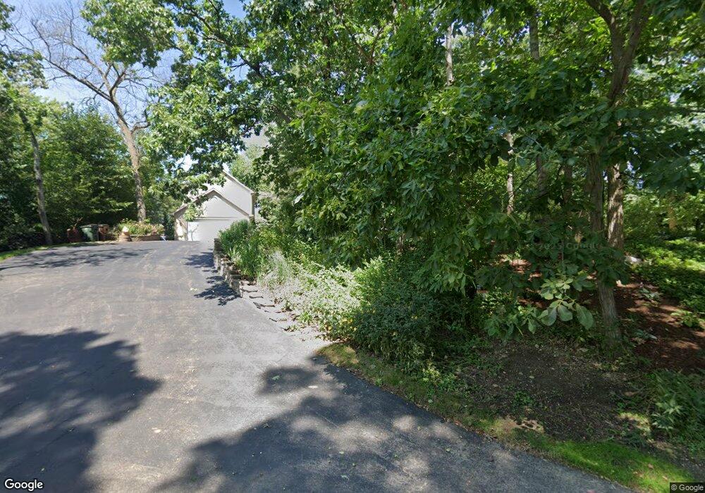
40202 91st St Genoa City, WI 53128
Estimated Value: $1,485,000 - $2,090,772
4
Beds
4
Baths
2,366
Sq Ft
$750/Sq Ft
Est. Value
About This Home
This home is located at 40202 91st St, Genoa City, WI 53128 and is currently estimated at $1,774,591, approximately $750 per square foot. 40202 91st St is a home located in Kenosha County with nearby schools including Randall Consolidated School and Wilmot High School.
Ownership History
Date
Name
Owned For
Owner Type
Purchase Details
Closed on
Apr 3, 2009
Sold by
Divito Kimberlee B
Bought by
Kimberlee B Divito 2006 Declaration Of T
Current Estimated Value
Purchase Details
Closed on
Jul 12, 2007
Sold by
Brennan Joseph F
Bought by
Divito John J
Purchase Details
Closed on
Aug 15, 2003
Sold by
Brennan Joseph F and Brennan Patricia M
Bought by
Brcnnan Joseph F and Brennan Patricia M
Create a Home Valuation Report for This Property
The Home Valuation Report is an in-depth analysis detailing your home's value as well as a comparison with similar homes in the area
Home Values in the Area
Average Home Value in this Area
Purchase History
| Date | Buyer | Sale Price | Title Company |
|---|---|---|---|
| Kimberlee B Divito 2006 Declaration Of T | $1,017,700 | -- | |
| Divito Kimberlee B | $1,017,700 | -- | |
| Divito John J | $1,100,000 | -- | |
| Brcnnan Joseph F | -- | None Available |
Source: Public Records
Tax History Compared to Growth
Tax History
| Year | Tax Paid | Tax Assessment Tax Assessment Total Assessment is a certain percentage of the fair market value that is determined by local assessors to be the total taxable value of land and additions on the property. | Land | Improvement |
|---|---|---|---|---|
| 2024 | $17,845 | $1,218,600 | $827,500 | $391,100 |
| 2023 | $17,265 | $1,218,600 | $827,500 | $391,100 |
| 2022 | $19,366 | $1,218,600 | $827,500 | $391,100 |
| 2021 | $20,117 | $1,218,600 | $827,500 | $391,100 |
| 2020 | $20,117 | $1,064,300 | $742,400 | $321,900 |
| 2019 | $19,379 | $1,064,300 | $742,400 | $321,900 |
| 2018 | $22,725 | $1,064,300 | $742,400 | $321,900 |
| 2017 | $19,061 | $1,064,300 | $742,400 | $321,900 |
| 2016 | $21,570 | $1,064,300 | $742,400 | $321,900 |
| 2015 | $19,114 | $1,064,300 | $742,400 | $321,900 |
| 2014 | -- | $1,064,300 | $742,400 | $321,900 |
Source: Public Records
Map
Nearby Homes
- 39918 93rd St
- 40724 93rd St
- Lt9 95th St
- Lt10 95th St
- 9499 402nd Ave
- 8823 406th Ave
- 9631 400th Ave
- 9244 391st Ave
- 9020 388th Ave
- 8627 392nd Ave
- 39740 Bloomfield Rd
- W105 Tombeau Blvd
- 10244 406th Ave
- 10536 401st Ave
- Lt38 106th St
- 478 Tomahawk Dr
- 207 Tomahawk Dr
- 1061 Highland Dr
- 1400 Richmond Rd
- Lt2 Marion Ave