Estimated Value: $476,000 - $570,000
3
Beds
1
Bath
960
Sq Ft
$532/Sq Ft
Est. Value
About This Home
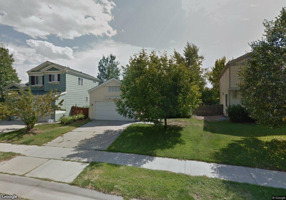
This home is located at 403 Tynan Dr, Erie, CO 80516 and is currently estimated at $510,444, approximately $531 per square foot. 403 Tynan Dr is a home located in Boulder County with nearby schools including Red Hawk Elementary School, Erie Middle School, and Erie High School.
Ownership History
Date
Name
Owned For
Owner Type
Purchase Details
Closed on
Nov 10, 2004
Sold by
Janett Peter K
Bought by
Janett Peter K
Current Estimated Value
Purchase Details
Closed on
Jul 10, 2002
Sold by
Janett Stephanie M and Janett Peter K
Bought by
Janett Peter K
Purchase Details
Closed on
Jun 16, 1999
Sold by
Johnson Communities Inc
Bought by
Janett Peter K
Home Financials for this Owner
Home Financials are based on the most recent Mortgage that was taken out on this home.
Original Mortgage
$141,205
Outstanding Balance
$37,148
Interest Rate
7.02%
Mortgage Type
FHA
Estimated Equity
$473,296
Create a Home Valuation Report for This Property
The Home Valuation Report is an in-depth analysis detailing your home's value as well as a comparison with similar homes in the area
Home Values in the Area
Average Home Value in this Area
Purchase History
| Date | Buyer | Sale Price | Title Company |
|---|---|---|---|
| Janett Peter K | -- | -- | |
| Janett Peter K | $22,500 | -- | |
| Janett Peter K | $143,037 | Land Title |
Source: Public Records
Mortgage History
| Date | Status | Borrower | Loan Amount |
|---|---|---|---|
| Open | Janett Peter K | $141,205 |
Source: Public Records
Tax History Compared to Growth
Tax History
| Year | Tax Paid | Tax Assessment Tax Assessment Total Assessment is a certain percentage of the fair market value that is determined by local assessors to be the total taxable value of land and additions on the property. | Land | Improvement |
|---|---|---|---|---|
| 2025 | $2,964 | $26,713 | $9,369 | $17,344 |
| 2024 | $2,964 | $26,713 | $9,369 | $17,344 |
| 2023 | $2,931 | $25,882 | $12,516 | $17,052 |
| 2022 | $2,581 | $21,802 | $7,909 | $13,893 |
| 2021 | $2,626 | $22,430 | $8,137 | $14,293 |
| 2020 | $2,473 | $21,172 | $3,933 | $17,239 |
| 2019 | $2,467 | $21,172 | $3,933 | $17,239 |
| 2018 | $2,173 | $18,612 | $6,408 | $12,204 |
| 2017 | $2,074 | $20,576 | $7,084 | $13,492 |
| 2016 | $1,885 | $16,517 | $6,766 | $9,751 |
| 2015 | $1,809 | $13,739 | $4,139 | $9,600 |
| 2014 | $1,539 | $13,739 | $4,139 | $9,600 |
Source: Public Records
Map
Nearby Homes
- 375 Tynan Dr
- 688 Brennan Cir
- 1665 Bain Dr
- 1673 Bain Dr
- 671 Brennan Cir
- 549 Brennan Cir
- 1600 Bain Dr
- 717 Mcclure Ct
- 225 Maplewood Dr
- 159 Summerfield Ct
- 644 N Beshear Ct
- 700 S Beshear Ct
- 993 Stanley Ct
- 873 Mcclure Way
- 1517 Stanley Dr
- 1416 Stockton Dr
- 1386 Avgare Way
- 1600 Brimble Dr
- 936 Weston Cir
- 612 Apex St