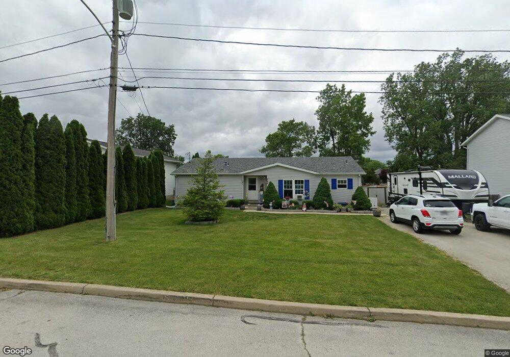
404 Brookside Dr Woodville, OH 43469
Estimated Value: $177,312 - $200,000
2
Beds
2
Baths
1,476
Sq Ft
$127/Sq Ft
Est. Value
About This Home
This home is located at 404 Brookside Dr, Woodville, OH 43469 and is currently estimated at $187,078, approximately $126 per square foot. 404 Brookside Dr is a home located in Sandusky County with nearby schools including Woodmore Elementary School, Woodmore Middle School, and Solomon Lutheran School.
Ownership History
Date
Name
Owned For
Owner Type
Purchase Details
Closed on
Apr 24, 2001
Sold by
Oralletto Brenda
Bought by
Bunn Joseph and Bunn Lynn M
Current Estimated Value
Purchase Details
Closed on
Aug 4, 1999
Sold by
Sherrard Shelly J
Bought by
Orcelleto Brenda
Purchase Details
Closed on
May 1, 1991
Bought by
Bunn Joseph L and Bunn Lynn M
Create a Home Valuation Report for This Property
The Home Valuation Report is an in-depth analysis detailing your home's value as well as a comparison with similar homes in the area
Home Values in the Area
Average Home Value in this Area
Purchase History
| Date | Buyer | Sale Price | Title Company |
|---|---|---|---|
| Bunn Joseph | $16,000 | -- | |
| Orcelleto Brenda | $12,000 | -- | |
| Bunn Joseph L | $24,000 | -- |
Source: Public Records
Mortgage History
| Date | Status | Borrower | Loan Amount |
|---|---|---|---|
| Closed | Bunn Joseph | -- |
Source: Public Records
Tax History Compared to Growth
Tax History
| Year | Tax Paid | Tax Assessment Tax Assessment Total Assessment is a certain percentage of the fair market value that is determined by local assessors to be the total taxable value of land and additions on the property. | Land | Improvement |
|---|---|---|---|---|
| 2024 | $2,508 | $48,650 | $6,720 | $41,930 |
| 2023 | $2,508 | $38,010 | $5,250 | $32,760 |
| 2022 | $2,270 | $38,010 | $5,250 | $32,760 |
| 2021 | $2,281 | $38,010 | $5,250 | $32,760 |
| 2020 | $2,030 | $32,340 | $5,250 | $27,090 |
| 2019 | $2,031 | $32,340 | $5,250 | $27,090 |
| 2018 | $2,010 | $32,340 | $5,250 | $27,090 |
| 2017 | $1,890 | $29,230 | $5,250 | $23,980 |
| 2016 | $1,833 | $29,230 | $5,250 | $23,980 |
| 2015 | $1,842 | $29,230 | $5,250 | $23,980 |
| 2014 | $1,756 | $26,540 | $5,220 | $21,320 |
| 2013 | $1,738 | $26,540 | $5,220 | $21,320 |
Source: Public Records
Map
Nearby Homes
- 110 E 1st St
- 739 Riverside Dr
- 212 S Perry St
- 612 W Main St
- 421 Parklane Dr
- 219 Lime St
- 571 Parklane Dr
- 20180 Us Highway 23
- 20240 W Portage River South Rd
- 6201 County Highway 165
- 2067 Devils Hole Rd
- 0 Recker Rd
- 1936 County Road 32
- 19383 Courtland Ave
- 205 W 4th St
- 0 Pemberville Rd
- 830 Dannick Ln
- 513 W Stevenson St
- 433 W Stevenson St
- 0 W Portage River Rd S Unit 6130453
- 402 Brookside Dr
- 406 Brookside Dr
- 02&03 Brookside Dr
- 01 Brookside Dr
- 00 Brookside Dr
- 0000 Brookside Dr
- 000 Brookside Dr
- 0 Brookside Dr
- 109 Lavine St
- 107 Lavine St
- 432 Grand Ave
- 105 Lavine St
- 111 Lavine St Unit E111
- 111 Lavine Dr
- 103 Lavine St
- 103 Lavine Dr
- 435 Lueke Ave
- 200 Grand Ave
- 114 Lavine St
- 101 Lavine St