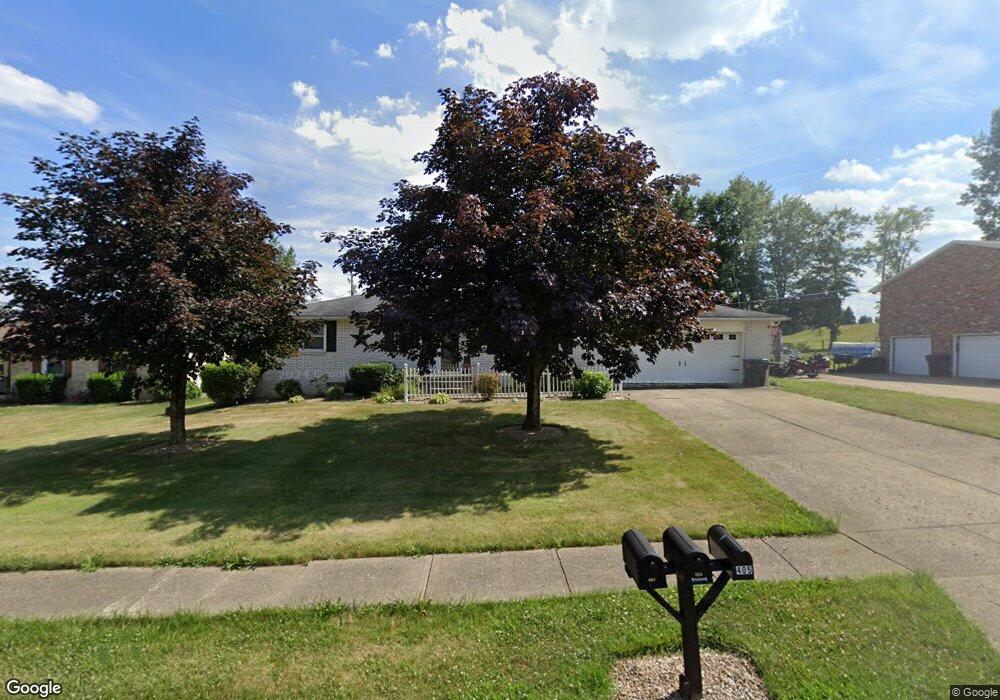
404 Navaho St Louisville, OH 44641
Estimated Value: $217,000 - $240,000
3
Beds
2
Baths
1,144
Sq Ft
$199/Sq Ft
Est. Value
About This Home
This home is located at 404 Navaho St, Louisville, OH 44641 and is currently estimated at $227,870, approximately $199 per square foot. 404 Navaho St is a home located in Stark County with nearby schools including Louisville High School and St. Thomas Aquinas High School & Middle School.
Ownership History
Date
Name
Owned For
Owner Type
Purchase Details
Closed on
Sep 25, 2017
Sold by
Harmon Kim R
Bought by
Louisville Angela
Current Estimated Value
Home Financials for this Owner
Home Financials are based on the most recent Mortgage that was taken out on this home.
Original Mortgage
$131,572
Outstanding Balance
$109,782
Interest Rate
3.78%
Mortgage Type
FHA
Estimated Equity
$118,088
Purchase Details
Closed on
May 20, 1994
Create a Home Valuation Report for This Property
The Home Valuation Report is an in-depth analysis detailing your home's value as well as a comparison with similar homes in the area
Home Values in the Area
Average Home Value in this Area
Purchase History
| Date | Buyer | Sale Price | Title Company |
|---|---|---|---|
| Louisville Angela | $134,000 | None Available | |
| -- | $85,000 | -- |
Source: Public Records
Mortgage History
| Date | Status | Borrower | Loan Amount |
|---|---|---|---|
| Open | Louisville Angela | $131,572 |
Source: Public Records
Tax History Compared to Growth
Tax History
| Year | Tax Paid | Tax Assessment Tax Assessment Total Assessment is a certain percentage of the fair market value that is determined by local assessors to be the total taxable value of land and additions on the property. | Land | Improvement |
|---|---|---|---|---|
| 2025 | -- | $64,300 | $17,750 | $46,550 |
| 2024 | -- | $64,300 | $17,750 | $46,550 |
| 2023 | $2,270 | $52,820 | $17,610 | $35,210 |
| 2022 | $2,276 | $52,820 | $17,610 | $35,210 |
| 2021 | $2,282 | $52,820 | $17,610 | $35,210 |
| 2020 | $1,877 | $47,180 | $15,890 | $31,290 |
| 2019 | $1,885 | $47,180 | $15,890 | $31,290 |
| 2018 | $1,878 | $47,180 | $15,890 | $31,290 |
| 2017 | $1,750 | $42,420 | $12,950 | $29,470 |
| 2016 | $1,786 | $42,420 | $12,950 | $29,470 |
| 2015 | $1,791 | $42,420 | $12,950 | $29,470 |
| 2014 | $1,664 | $36,650 | $11,200 | $25,450 |
| 2013 | $836 | $36,650 | $11,200 | $25,450 |
Source: Public Records
Map
Nearby Homes
- 1702 View Pointe Ave
- 908 Sand Lot Cir
- 1639 Horizon Dr
- 510 S Bauman Ct
- 204 E Broad St
- 728 E Broad St
- 520 S Silver St
- 641 S Nickelplate St
- 107 E Broad St
- 8225 Georgetown St
- 308 Superior St
- 1715 High St
- 6969 Georgetown St NE
- 2110 Edmar St
- 1812 E Broad St
- 2425 Miday Ave NE
- 325 Lincoln Ave
- 3390 Meese Rd NE
- 201 Indiana Ave
- 0 Michigan Blvd