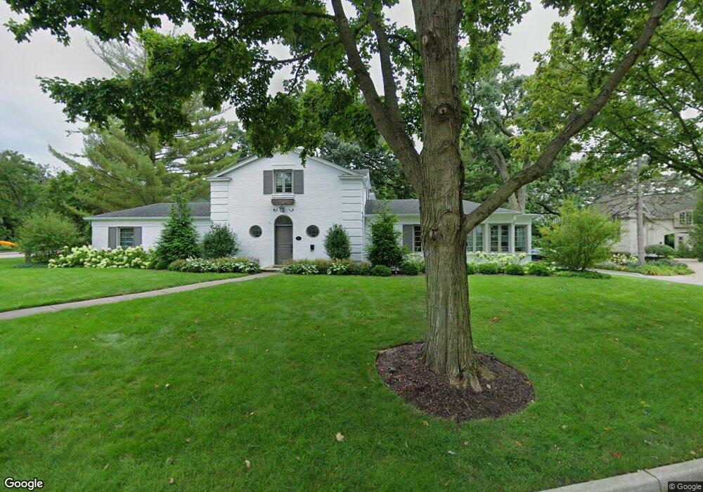
405 Laurel Ave Libertyville, IL 60048
Estimated Value: $912,000 - $1,027,000
4
Beds
3
Baths
2,637
Sq Ft
$360/Sq Ft
Est. Value
About This Home
This home is located at 405 Laurel Ave, Libertyville, IL 60048 and is currently estimated at $950,410, approximately $360 per square foot. 405 Laurel Ave is a home located in Lake County with nearby schools including Butterfield School, Highland Middle School, and Libertyville High School.
Ownership History
Date
Name
Owned For
Owner Type
Purchase Details
Closed on
Mar 24, 2017
Sold by
Taylor Joel C and Taylor Michelle A
Bought by
Lafayette James C and Lafayette Sara J
Current Estimated Value
Home Financials for this Owner
Home Financials are based on the most recent Mortgage that was taken out on this home.
Original Mortgage
$424,100
Outstanding Balance
$352,077
Interest Rate
4.21%
Mortgage Type
New Conventional
Estimated Equity
$598,333
Create a Home Valuation Report for This Property
The Home Valuation Report is an in-depth analysis detailing your home's value as well as a comparison with similar homes in the area
Home Values in the Area
Average Home Value in this Area
Purchase History
| Date | Buyer | Sale Price | Title Company |
|---|---|---|---|
| Lafayette James C | $587,500 | Attorneys Title Guaranty Fun |
Source: Public Records
Mortgage History
| Date | Status | Borrower | Loan Amount |
|---|---|---|---|
| Open | Lafayette James C | $424,100 |
Source: Public Records
Tax History Compared to Growth
Tax History
| Year | Tax Paid | Tax Assessment Tax Assessment Total Assessment is a certain percentage of the fair market value that is determined by local assessors to be the total taxable value of land and additions on the property. | Land | Improvement |
|---|---|---|---|---|
| 2024 | $16,841 | $235,392 | $122,611 | $112,781 |
| 2023 | $18,000 | $217,111 | $113,089 | $104,022 |
| 2022 | $18,000 | $231,071 | $108,698 | $122,373 |
| 2021 | $17,334 | $226,097 | $106,358 | $119,739 |
| 2020 | $16,685 | $222,296 | $104,570 | $117,726 |
| 2019 | $16,270 | $220,183 | $103,576 | $116,607 |
| 2018 | $15,683 | $219,473 | $107,839 | $111,634 |
| 2017 | $15,467 | $212,544 | $104,434 | $108,110 |
| 2016 | $14,963 | $201,521 | $99,018 | $102,503 |
| 2015 | $14,839 | $188,355 | $92,549 | $95,806 |
| 2014 | $13,638 | $176,978 | $86,958 | $90,020 |
| 2012 | $12,827 | $171,649 | $84,340 | $87,309 |
Source: Public Records
Map
Nearby Homes
- 420 W Cook Ave
- 505 Lange Ct
- 212 Elm Ct
- 551 W Park Ave Unit E
- 308 Mckinley Ave
- 619 Parkside Ct
- 423 Ames St
- 217 E Church St
- 1754 Glenmore Rd
- 212 W Ellis Ave
- 616 Parkside Ct
- 662 Parkside Ct
- 694 Parkside Ct
- 208 W Ellis Ave
- 204 W Ellis Ave
- 922 N Milwaukee Ave Unit A
- 0 Ames St
- 224 Newberry Ave
- 533 Drake St
- 426 S Milwaukee Ave
- 315 Homewood Ave
- 404 Laurel Ave
- 309 Homewood Ave
- 412 Laurel Ave
- 400 Laurel Ave
- 350 Homewood Ave
- 404 Forest Ln
- 225 Homewood Ave
- 310 Homewood Ave
- 338 Laurel Ave
- 431 W Cook Ave
- 400 Forest Ln
- 443 W Cook Ave
- 422 Laurel Ave
- 333 Laurel Ave
- 425 W Cook Ave
- 453 W Cook Ave
- 326 Elm Ct
- 421 W Cook Ave
- 326 Laurel Ave