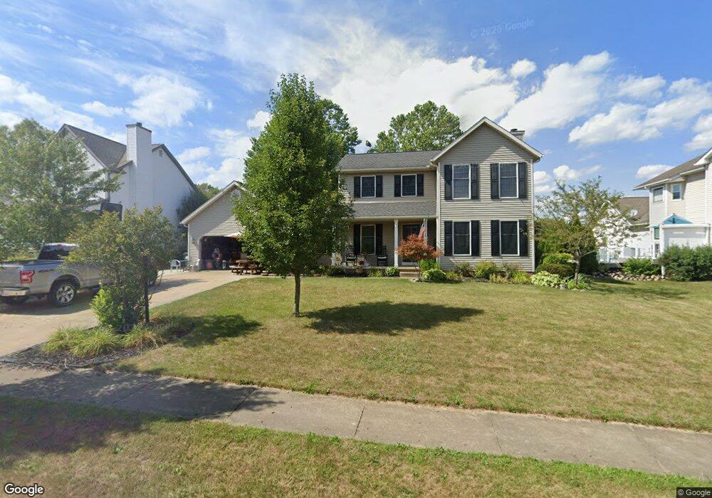
405 Shawnee Cir Louisville, OH 44641
Estimated Value: $285,372 - $297,000
3
Beds
3
Baths
1,736
Sq Ft
$167/Sq Ft
Est. Value
About This Home
This home is located at 405 Shawnee Cir, Louisville, OH 44641 and is currently estimated at $290,593, approximately $167 per square foot. 405 Shawnee Cir is a home located in Stark County with nearby schools including Louisville High School and St. Thomas Aquinas High School & Middle School.
Ownership History
Date
Name
Owned For
Owner Type
Purchase Details
Closed on
Dec 27, 1994
Sold by
Schatz Joseph T
Bought by
Minster Richard J and Minster Deborah
Current Estimated Value
Home Financials for this Owner
Home Financials are based on the most recent Mortgage that was taken out on this home.
Original Mortgage
$109,400
Interest Rate
9.19%
Mortgage Type
New Conventional
Create a Home Valuation Report for This Property
The Home Valuation Report is an in-depth analysis detailing your home's value as well as a comparison with similar homes in the area
Home Values in the Area
Average Home Value in this Area
Purchase History
| Date | Buyer | Sale Price | Title Company |
|---|---|---|---|
| Minster Richard J | $121,900 | -- |
Source: Public Records
Mortgage History
| Date | Status | Borrower | Loan Amount |
|---|---|---|---|
| Closed | Minster Richard J | $109,400 |
Source: Public Records
Tax History Compared to Growth
Tax History
| Year | Tax Paid | Tax Assessment Tax Assessment Total Assessment is a certain percentage of the fair market value that is determined by local assessors to be the total taxable value of land and additions on the property. | Land | Improvement |
|---|---|---|---|---|
| 2025 | -- | $92,860 | $17,360 | $75,500 |
| 2024 | -- | $92,860 | $17,360 | $75,500 |
| 2023 | $2,823 | $65,700 | $17,220 | $48,480 |
| 2022 | $2,829 | $65,700 | $17,220 | $48,480 |
| 2021 | $2,829 | $65,700 | $17,220 | $48,480 |
| 2020 | $2,334 | $58,700 | $15,510 | $43,190 |
| 2019 | $2,344 | $58,280 | $15,510 | $42,770 |
| 2018 | $2,318 | $58,280 | $15,510 | $42,770 |
| 2017 | $2,155 | $52,290 | $12,670 | $39,620 |
| 2016 | $2,200 | $52,290 | $12,670 | $39,620 |
| 2015 | $2,206 | $52,290 | $12,670 | $39,620 |
| 2014 | $48 | $45,120 | $10,920 | $34,200 |
| 2013 | $1,028 | $45,120 | $10,920 | $34,200 |
Source: Public Records
Map
Nearby Homes
- 1702 View Pointe Ave
- 908 Sand Lot Cir
- 1639 Horizon Dr
- 8225 Georgetown St
- 510 S Bauman Ct
- 204 E Broad St
- 728 E Broad St
- 520 S Silver St
- 641 S Nickelplate St
- 107 E Broad St
- 6969 Georgetown St NE
- 308 Superior St
- 2425 Miday Ave NE
- 1715 High St
- 2110 Edmar St
- 3390 Meese Rd NE
- 1812 E Broad St
- 325 Lincoln Ave
- 201 Indiana Ave
- 0 Michigan Blvd
- 315 Shawnee Cir
- 1825 Cherokee Ave
- 305 Shawnee Cir
- 404 Shawnee Cir
- 314 Shawnee Cir
- 414 Shawnee Cir
- 505 Shawnee St
- 215 Shawnee Cir
- 304 Shawnee Cir
- 502 Cheyenne Cir
- 504 Shawnee St
- 515 Shawnee St
- 214 Shawnee Cir
- 205 Shawnee Cir
- 405 Buffalo Ridge St
- 315 Buffalo Ridge St
- 415 Buffalo Ridge St
- 514 Shawnee St
- 305 Buffalo Ridge St
- 204 Shawnee Cir