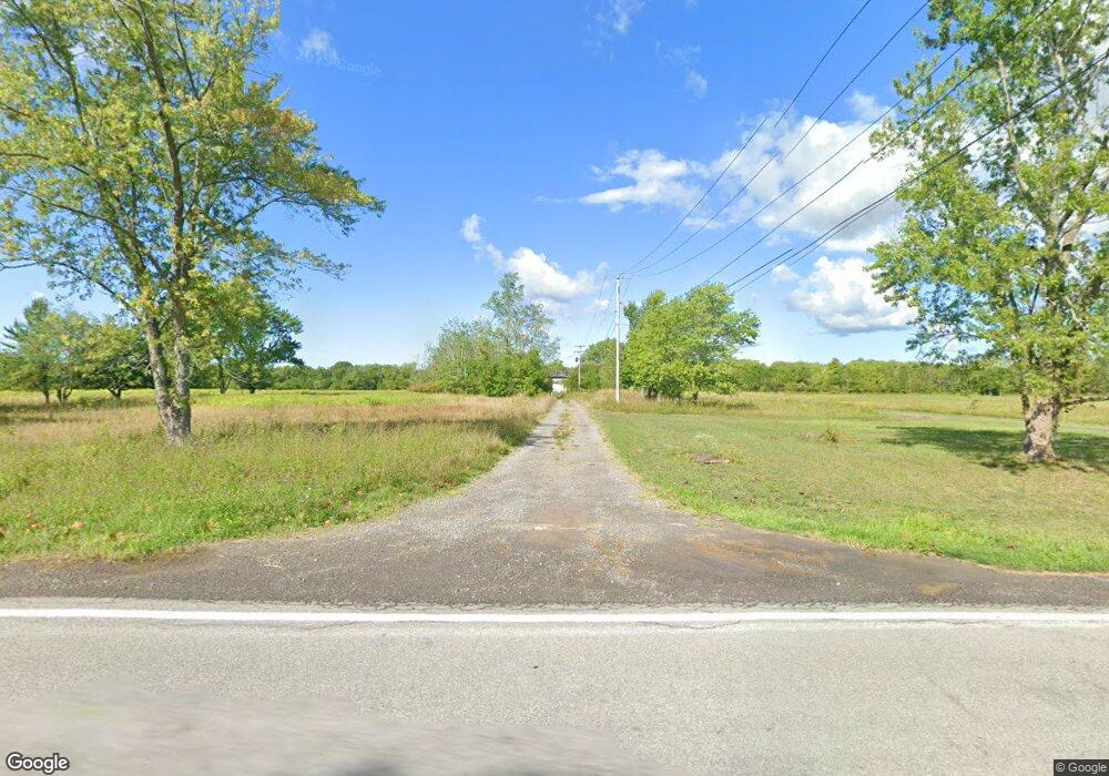
4060 Purdy Rd Lockport, NY 14094
Estimated Value: $270,000 - $503,047
3
Beds
2
Baths
1,574
Sq Ft
$223/Sq Ft
Est. Value
About This Home
This home is located at 4060 Purdy Rd, Lockport, NY 14094 and is currently estimated at $351,762, approximately $223 per square foot. 4060 Purdy Rd is a home located in Niagara County with nearby schools including Newfane Elementary School, Newfane Middle School, and Newfane Senior High School.
Ownership History
Date
Name
Owned For
Owner Type
Purchase Details
Closed on
Apr 11, 2024
Sold by
Payne Nicole and West James T
Bought by
Braunscheidel Steven J
Current Estimated Value
Purchase Details
Closed on
Aug 8, 2022
Sold by
West James T
Bought by
West James T and Payne Nicole
Purchase Details
Closed on
May 29, 2012
Sold by
West James
Bought by
West James
Purchase Details
Closed on
Aug 23, 2006
Sold by
Maerten Jerome
Bought by
West James
Create a Home Valuation Report for This Property
The Home Valuation Report is an in-depth analysis detailing your home's value as well as a comparison with similar homes in the area
Home Values in the Area
Average Home Value in this Area
Purchase History
| Date | Buyer | Sale Price | Title Company |
|---|---|---|---|
| Braunscheidel Steven J | $10,000 | None Listed On Document | |
| West James T | -- | None Listed On Document | |
| West James | -- | Clayton & Bergevin | |
| West James | $50,000 | David Natemeier |
Source: Public Records
Tax History Compared to Growth
Tax History
| Year | Tax Paid | Tax Assessment Tax Assessment Total Assessment is a certain percentage of the fair market value that is determined by local assessors to be the total taxable value of land and additions on the property. | Land | Improvement |
|---|---|---|---|---|
| 2024 | $8,241 | $375,000 | $102,700 | $272,300 |
| 2023 | $7,704 | $330,000 | $81,700 | $248,300 |
| 2022 | $8,006 | $311,000 | $81,700 | $229,300 |
| 2021 | $8,678 | $270,000 | $65,800 | $204,200 |
| 2020 | $8,153 | $270,000 | $65,800 | $204,200 |
| 2019 | $11,995 | $247,000 | $65,800 | $181,200 |
| 2018 | $14,080 | $240,000 | $65,800 | $174,200 |
| 2017 | $11,995 | $196,900 | $51,300 | $145,600 |
| 2016 | $12,563 | $196,900 | $51,300 | $145,600 |
| 2015 | -- | $193,800 | $51,300 | $142,500 |
| 2014 | -- | $119,000 | $51,300 | $67,700 |
Source: Public Records
Map
Nearby Homes
- 5986 Ridge Rd
- 6077 Ridge Rd
- 3980 Ridgelea Dr
- 3732 Ewings Rd
- 1020 Sunset Ct
- 6358 Ridge Rd
- 4357 Sunset Ct
- 5374 Ridge Rd
- 6603 Mulligan Dr
- 3902 Lockport Olcott Rd
- 3708 Lockport Olcott Rd
- 4307 Lake Ave
- 4311 Lake Ave
- 225 Center St
- 6361 Old Niagara Rd Unit 6365
- 20 Glenwood Ave
- 22 Glenwood Ave
- 24 Glenwood Ave
- 2 Harwood St
- 0 Ewings Rd Unit B1623811
