408 Old Downieville Hwy Nevada City, CA 95959
Estimated Value: $618,825 - $845,000
2
Beds
2
Baths
1,636
Sq Ft
$457/Sq Ft
Est. Value
About This Home
This home is located at 408 Old Downieville Hwy, Nevada City, CA 95959 and is currently estimated at $747,456, approximately $456 per square foot. 408 Old Downieville Hwy is a home located in Nevada County with nearby schools including Deer Creek Elementary School, Seven Hills Intermediate School, and Forest Charter School.
Ownership History
Date
Name
Owned For
Owner Type
Purchase Details
Closed on
Oct 31, 2002
Sold by
Carr Michael J and Carr Janet
Bought by
Carr Michael J and Carr Janet L
Current Estimated Value
Purchase Details
Closed on
Oct 11, 2001
Sold by
Kopp Karl N and Covert Marguerite
Bought by
Carr Michael J and Carr Janet
Home Financials for this Owner
Home Financials are based on the most recent Mortgage that was taken out on this home.
Original Mortgage
$105,000
Outstanding Balance
$41,161
Interest Rate
6.91%
Mortgage Type
Purchase Money Mortgage
Estimated Equity
$706,295
Create a Home Valuation Report for This Property
The Home Valuation Report is an in-depth analysis detailing your home's value as well as a comparison with similar homes in the area
Home Values in the Area
Average Home Value in this Area
Purchase History
| Date | Buyer | Sale Price | Title Company |
|---|---|---|---|
| Carr Michael J | -- | -- | |
| Carr Michael J | $379,000 | Placer Title Company |
Source: Public Records
Mortgage History
| Date | Status | Borrower | Loan Amount |
|---|---|---|---|
| Open | Carr Michael J | $105,000 |
Source: Public Records
Tax History Compared to Growth
Tax History
| Year | Tax Paid | Tax Assessment Tax Assessment Total Assessment is a certain percentage of the fair market value that is determined by local assessors to be the total taxable value of land and additions on the property. | Land | Improvement |
|---|---|---|---|---|
| 2025 | $5,737 | $559,874 | $265,903 | $293,971 |
| 2024 | $5,631 | $548,897 | $260,690 | $288,207 |
| 2023 | $5,631 | $538,135 | $255,579 | $282,556 |
| 2022 | $5,516 | $527,584 | $250,568 | $277,016 |
| 2021 | $5,374 | $517,240 | $245,655 | $271,585 |
| 2020 | $5,365 | $511,938 | $243,137 | $268,801 |
| 2019 | $5,257 | $501,901 | $238,370 | $263,531 |
| 2018 | $0 | $492,061 | $233,697 | $258,364 |
| 2017 | $5,057 | $482,414 | $229,115 | $253,299 |
| 2016 | $4,870 | $472,956 | $224,623 | $248,333 |
| 2015 | $4,802 | $465,852 | $221,249 | $244,603 |
| 2014 | $4,802 | $456,728 | $216,916 | $239,812 |
Source: Public Records
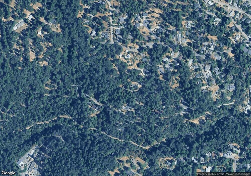
Map
Nearby Homes
- 631 Chief Kelly Dr
- 520 Lost Hill Ct
- 327 Drummond St
- 651 Chief Kelly Dr
- 661 Chief Kelly Dr
- 660 Chief Kelly Dr
- 500 Factory St
- 214 Mill St
- 210 Mill St
- 16970 Old Downieville Hwy
- 140 Redbud Way
- 421 Broad St
- 708 W Broad St
- 447 Zion St
- 342 Bridge Way
- 327 Bridge Way
- 336 Bridge Way
- 439 Washington St
- 134 Boulder St
- 11356 Constitution Ct
- 404 Old Downieville Hwy
- 406 Old Downieville Hwy
- 321 American Hill Rd
- 420 Old Downieville Hwy
- 106 Motherlode Ct
- 352 Old Downieville Hwy
- 325 American Hill Rd
- 0 Motherlode Ct
- 464 Monroe St
- 103 Gold Tunnel Dr
- 15640 Old Downieville Hwy
- 104 Gold Tunnel Dr
- 101 Gold Tunnel Dr
- 511 Lost Hill Ct
- 320 American Hill Rd