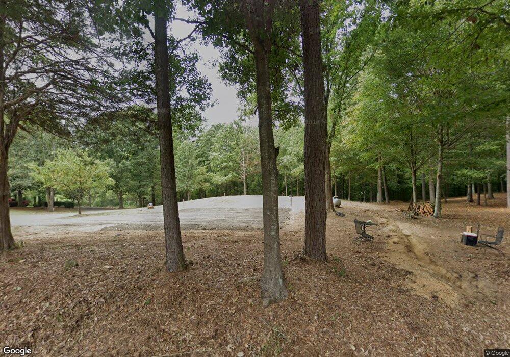
409 Dawnville Rd NE Dalton, GA 30721
Estimated Value: $55,150 - $301,000
--
Bed
--
Bath
1,064
Sq Ft
$141/Sq Ft
Est. Value
About This Home
This home is located at 409 Dawnville Rd NE, Dalton, GA 30721 and is currently estimated at $150,038, approximately $141 per square foot. 409 Dawnville Rd NE is a home with nearby schools including Dawnville Elementary School, Coahulla Creek High School, and Cedar Valley Christian Academy.
Ownership History
Date
Name
Owned For
Owner Type
Purchase Details
Closed on
Aug 29, 2025
Sold by
Brock Elaine
Bought by
Nf Land Llc
Current Estimated Value
Purchase Details
Closed on
Jan 9, 2025
Sold by
Atkins Michael and Atkins Leta Katherine
Bought by
Nf Land Llc
Purchase Details
Closed on
May 2, 2023
Sold by
Brock Elaine
Bought by
Atkins Michael and Atkins Katherine
Purchase Details
Closed on
Jun 8, 2012
Sold by
Carr Diane
Bought by
Brock Elaine
Create a Home Valuation Report for This Property
The Home Valuation Report is an in-depth analysis detailing your home's value as well as a comparison with similar homes in the area
Home Values in the Area
Average Home Value in this Area
Purchase History
| Date | Buyer | Sale Price | Title Company |
|---|---|---|---|
| Nf Land Llc | $27,500 | Choice Title | |
| Nf Land Llc | $25,000 | Choice Title | |
| Nf Land Llc | $25,000 | Choice Title | |
| Nf Land Llc | $25,000 | Choice Title | |
| Atkins Michael | $10,000 | None Listed On Document | |
| Brock Elaine | -- | -- | |
| Carr Diane | -- | -- |
Source: Public Records
Tax History Compared to Growth
Tax History
| Year | Tax Paid | Tax Assessment Tax Assessment Total Assessment is a certain percentage of the fair market value that is determined by local assessors to be the total taxable value of land and additions on the property. | Land | Improvement |
|---|---|---|---|---|
| 2024 | $228 | $8,278 | $6,931 | $1,347 |
| 2023 | $400 | $13,559 | $12,212 | $1,347 |
| 2022 | $366 | $12,425 | $10,294 | $2,131 |
| 2021 | $367 | $12,425 | $10,294 | $2,131 |
| 2020 | $379 | $12,425 | $10,294 | $2,131 |
| 2019 | $385 | $12,425 | $10,294 | $2,131 |
| 2018 | $332 | $10,533 | $8,402 | $2,131 |
| 2017 | $332 | $10,533 | $8,402 | $2,131 |
| 2016 | $316 | $10,430 | $8,299 | $2,131 |
| 2014 | $281 | $10,430 | $8,299 | $2,131 |
| 2013 | -- | $10,430 | $8,299 | $2,131 |
Source: Public Records
Map
Nearby Homes
- 407 Dawnville Rd
- 305 Kay Dr NE
- 407 Fox Den Cir
- 359 Fox Den Cir
- 367 Fox Den Cir
- 381 Fox Den Cir
- 419 Fox Den Cir
- 258 Camden Way Unit 67
- 157 Camden Way Unit 9
- 351 Fox Den Cir
- 431 Fox Den Cir
- 447 Fox Den Cir
- 236 Camden Way Unit 51
- 428 Fox Den Cir
- 442 Fox Den Cir
- 454 Fox Den Cir
- 3445 Striplin Trail
- Salem Plan at Fox Hollow
- Hanover Plan at Fox Hollow
- Freeport Plan at Fox Hollow
- 411 Dawnville Rd NE
- 1420 Johnson Rd NE
- 433 Dawnville Rd NE
- 1426 Johnson Rd NE
- 1448 Johnson Rd NE
- 426 Dawnville Rd NE
- 426 Dawnville Rd NE Unit LWR
- 1360 Haley Dr NE
- 441 Dawnville Rd NE
- 1419 Shady Acres Rd NE
- 432 Dawnville Rd NE Unit LWR
- 432 Dawnville Rd NE
- 1361 Haley Dr NE
- 0 Rufus Dr
- 1400 Rufus Dr
- 1421 Shady Acres Rd NE
- 406 Dawnville Rd NE
- 436 Dawnville Rd NE
- 1452 Johnson Rd NE
- 1344 Haley Dr NE