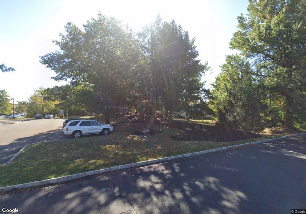
409 Woodside Ln Bridgewater, NJ 08807
Estimated Value: $417,000 - $479,428
--
Bed
--
Bath
820
Sq Ft
$539/Sq Ft
Est. Value
About This Home
This home is located at 409 Woodside Ln, Bridgewater, NJ 08807 and is currently estimated at $442,357, approximately $539 per square foot. 409 Woodside Ln is a home located in Somerset County with nearby schools including Adamsville Primary School, Bridgewater-Raritan Middle School, and Hillside Intermediate School.
Ownership History
Date
Name
Owned For
Owner Type
Purchase Details
Closed on
Jan 26, 2008
Sold by
Christiansen Jenet and Haupt Janene M
Bought by
Baker Kenneth
Current Estimated Value
Home Financials for this Owner
Home Financials are based on the most recent Mortgage that was taken out on this home.
Original Mortgage
$247,500
Interest Rate
5.28%
Mortgage Type
Stand Alone First
Purchase Details
Closed on
Nov 15, 2000
Sold by
Mangin Kevin
Bought by
Haupt Janene and Christiansen Vern
Home Financials for this Owner
Home Financials are based on the most recent Mortgage that was taken out on this home.
Original Mortgage
$67,000
Interest Rate
7.78%
Purchase Details
Closed on
Jul 15, 1994
Sold by
Somerset Security Ltd
Bought by
Mangin Kevin
Home Financials for this Owner
Home Financials are based on the most recent Mortgage that was taken out on this home.
Original Mortgage
$99,000
Interest Rate
8.19%
Create a Home Valuation Report for This Property
The Home Valuation Report is an in-depth analysis detailing your home's value as well as a comparison with similar homes in the area
Home Values in the Area
Average Home Value in this Area
Purchase History
| Date | Buyer | Sale Price | Title Company |
|---|---|---|---|
| Baker Kenneth | $275,000 | Title Agency Inc | |
| Haupt Janene | $162,000 | -- | |
| Mangin Kevin | $110,000 | -- |
Source: Public Records
Mortgage History
| Date | Status | Borrower | Loan Amount |
|---|---|---|---|
| Previous Owner | Baker Kenneth | $247,500 | |
| Previous Owner | Haupt Janene | $67,000 | |
| Previous Owner | Mangin Kevin | $99,000 |
Source: Public Records
Tax History Compared to Growth
Tax History
| Year | Tax Paid | Tax Assessment Tax Assessment Total Assessment is a certain percentage of the fair market value that is determined by local assessors to be the total taxable value of land and additions on the property. | Land | Improvement |
|---|---|---|---|---|
| 2025 | $7,159 | $371,000 | $238,500 | $132,500 |
| 2024 | $7,159 | $363,200 | $238,500 | $124,700 |
| 2023 | $6,788 | $338,200 | $238,500 | $99,700 |
| 2022 | $6,400 | $306,800 | $233,500 | $73,300 |
| 2021 | $6,451 | $302,600 | $233,500 | $69,100 |
| 2020 | $6,420 | $301,700 | $233,500 | $68,200 |
| 2019 | $6,453 | $300,300 | $233,500 | $66,800 |
| 2018 | $6,408 | $298,900 | $233,500 | $65,400 |
| 2017 | $6,299 | $293,500 | $233,500 | $60,000 |
| 2016 | $6,125 | $289,600 | $233,500 | $56,100 |
| 2015 | $6,098 | $288,600 | $233,500 | $55,100 |
| 2014 | $6,060 | $282,500 | $233,500 | $49,000 |
Source: Public Records
Map
Nearby Homes
- 25 Chelsea Way
- 89 Chelsea Way
- 20 Monroe St
- 117 Chelsea Way
- 15 Dartmouth Ave Unit 3A
- 26 Putnam St
- 12 Schoolhouse Ln
- 39 Madison St
- 51 Marie Ave
- 58 Harry Rd
- 96 Eastern Ave
- 11 Pope Rd
- 30 Demond Place
- 459 E Main St
- 385 E Main St
- 484 E Main St
- 63 Twin Oaks Rd
- 211 E High St
- 361 William St
- 12 S Adamsville Rd
- 401 Woodside Ln
- 397 Woodside Ln
- 1150 Us Highway 22
- 333 Woodside Ln
- 1160 Us Highway 22
- 271 Woodside Ln
- 360 Woodside Ln
- 1130 Us Highway 22
- 356 Woodside Ln
- 1140 Us Highway 22
- 265 Woodside Ln
- 258 Jackson St
- 261 Woodside Ln
- 1220 Route 22
- 256 Jackson St
- 257 Woodside Ln
- 1202 U S 22
- 250 Jackson St
- 251 Woodside Ln
- 246 Jackson St
