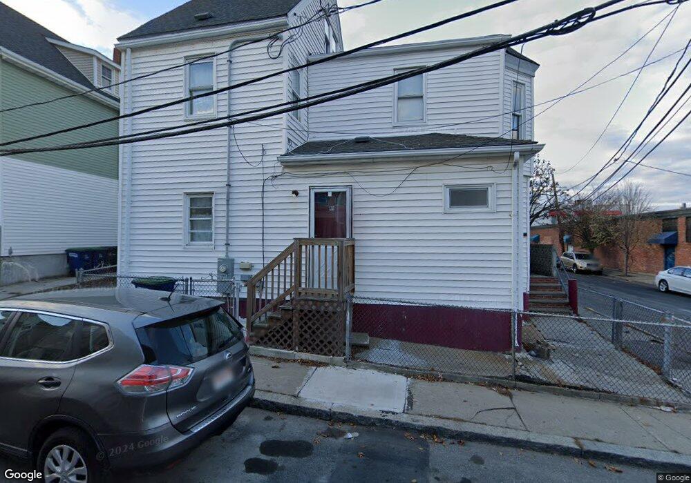
41 Alston St Somerville, MA 02143
East Somerville NeighborhoodEstimated Value: $866,163 - $1,610,000
3
Beds
2
Baths
1,493
Sq Ft
$747/Sq Ft
Est. Value
About This Home
This home is located at 41 Alston St, Somerville, MA 02143 and is currently estimated at $1,115,541, approximately $747 per square foot. 41 Alston St is a home located in Middlesex County with nearby schools including Somerville High School, Prospect Hill Academy Upper Elementary Campus, and Bright Future Educare Center.
Ownership History
Date
Name
Owned For
Owner Type
Purchase Details
Closed on
Nov 1, 1995
Sold by
Torres Freddy A and Torres Griselda
Bought by
Mendoza Ismael and Mendoza Juan F
Current Estimated Value
Home Financials for this Owner
Home Financials are based on the most recent Mortgage that was taken out on this home.
Original Mortgage
$100,562
Interest Rate
7.58%
Mortgage Type
Purchase Money Mortgage
Create a Home Valuation Report for This Property
The Home Valuation Report is an in-depth analysis detailing your home's value as well as a comparison with similar homes in the area
Home Values in the Area
Average Home Value in this Area
Purchase History
| Date | Buyer | Sale Price | Title Company |
|---|---|---|---|
| Mendoza Ismael | $103,000 | -- |
Source: Public Records
Mortgage History
| Date | Status | Borrower | Loan Amount |
|---|---|---|---|
| Open | Mendoza Ismael | $109,700 | |
| Closed | Mendoza Ismael | $100,562 | |
| Previous Owner | Mendoza Ismael | $50,000 |
Source: Public Records
Tax History Compared to Growth
Tax History
| Year | Tax Paid | Tax Assessment Tax Assessment Total Assessment is a certain percentage of the fair market value that is determined by local assessors to be the total taxable value of land and additions on the property. | Land | Improvement |
|---|---|---|---|---|
| 2025 | $8,047 | $737,600 | $287,100 | $450,500 |
| 2024 | $7,496 | $712,500 | $287,100 | $425,400 |
| 2023 | $6,971 | $674,200 | $287,100 | $387,100 |
| 2022 | $6,455 | $634,100 | $273,400 | $360,700 |
| 2021 | $6,142 | $602,700 | $269,700 | $333,000 |
| 2020 | $5,749 | $569,800 | $259,300 | $310,500 |
| 2019 | $5,598 | $520,300 | $215,100 | $305,200 |
| 2018 | $5,009 | $442,900 | $172,000 | $270,900 |
| 2017 | $4,670 | $400,200 | $162,300 | $237,900 |
| 2016 | $4,090 | $326,400 | $114,000 | $212,400 |
| 2015 | $4,136 | $328,000 | $113,400 | $214,600 |
Source: Public Records
Map
Nearby Homes
- 25 Alston St
- 20 Alston St
- 142 Cross St
- 34 Knowlton St Unit 2
- 36 Fountain Ave
- 76 Franklin St
- 25 Auburn Ave Unit 2
- 38 Franklin Ave
- 39 Gilman St
- 84 Cross St
- 85 A Munroe St Unit 1
- 74 Gilman St Unit 1
- 147 - 149 Pearl
- 57 Myrtle St
- 8 Everett St
- 30 Walnut St
- 28 Highland Ave Unit 3
- 19 Everett Ave
- 36 Everett Ave
- 32 Pinckney St
- 39 Alston St
- 39 Alston St Unit 1
- 51 Alston St
- 35 Alston St
- 56 Alston St
- 56 Alston St Unit 1
- 57 Alston St
- 58 Alston St
- 60R Alston St
- 60 Alston St
- 60 Alston St Unit R
- 60 Alston St Unit 2
- 33 Alston St
- 367 Mcgrath Hwy Unit 1
- 367 Mcgrath Hwy
- 367 Mcgrath Hwy
- 367 Mcgrath Hwy Unit 2
- 31 Alston St
- 31 Alston St Unit 1
- 365 Mcgrath Hwy