41 Birchwood Rd Tewksbury, MA 01876
Estimated Value: $598,000 - $753,000
3
Beds
2
Baths
1,305
Sq Ft
$504/Sq Ft
Est. Value
About This Home
This home is located at 41 Birchwood Rd, Tewksbury, MA 01876 and is currently estimated at $658,101, approximately $504 per square foot. 41 Birchwood Rd is a home located in Middlesex County with nearby schools including Heath-Brook Elementary School, John W. Wynn Middle School, and John F. Ryan Elementary School.
Ownership History
Date
Name
Owned For
Owner Type
Purchase Details
Closed on
Sep 19, 2019
Sold by
Paquette Patricia J
Bought by
Patricia J Paquette Ft
Current Estimated Value
Purchase Details
Closed on
Sep 27, 2016
Sold by
Paquette Patricia J
Bought by
Patricia J Paquette Ft
Purchase Details
Closed on
Oct 23, 1969
Bought by
Paquette George A and Paquette Patricia J
Create a Home Valuation Report for This Property
The Home Valuation Report is an in-depth analysis detailing your home's value as well as a comparison with similar homes in the area
Home Values in the Area
Average Home Value in this Area
Purchase History
| Date | Buyer | Sale Price | Title Company |
|---|---|---|---|
| Patricia J Paquette Ft | -- | -- | |
| Patricia J Paquette Ft | -- | -- | |
| Paquette George A | -- | -- |
Source: Public Records
Tax History Compared to Growth
Tax History
| Year | Tax Paid | Tax Assessment Tax Assessment Total Assessment is a certain percentage of the fair market value that is determined by local assessors to be the total taxable value of land and additions on the property. | Land | Improvement |
|---|---|---|---|---|
| 2025 | $7,172 | $542,500 | $276,100 | $266,400 |
| 2024 | $7,046 | $526,200 | $263,000 | $263,200 |
| 2023 | $6,613 | $469,000 | $239,000 | $230,000 |
| 2022 | $6,373 | $419,300 | $207,800 | $211,500 |
| 2021 | $25,298 | $385,500 | $189,000 | $196,500 |
| 2020 | $5,808 | $363,700 | $179,900 | $183,800 |
| 2019 | $5,422 | $342,300 | $171,400 | $170,900 |
| 2018 | $26,312 | $316,400 | $171,400 | $145,000 |
| 2017 | $4,824 | $295,800 | $171,400 | $124,400 |
| 2016 | $4,707 | $287,900 | $171,400 | $116,500 |
| 2015 | $4,358 | $266,200 | $166,300 | $99,900 |
| 2014 | $4,193 | $260,300 | $166,300 | $94,000 |
Source: Public Records
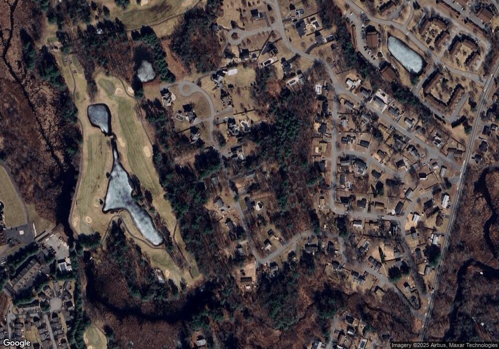
Map
Nearby Homes
- 127 Caddy Ct
- 107 Eagle Dr Unit 107
- 93 Fairway Dr
- 261 Apache Way
- 71 Apache Way Unit 71
- 7 Wamesit Rd
- 109 Apache Way
- 16 Eagle Dr
- 14 Hinckley Rd
- 6 Stonebury Way Unit 6
- 610 South St
- 110 Royal Crest Cir
- 111 Patrick Rd Unit 111
- 32 Decarolis Dr
- 142 Patrick Rd
- 22 Carleton Rd
- 61 Patrick Rd
- 1418 Main St Unit 201
- 1455 Main St Unit 4
- 1455 Main St Unit 10
- 37 Birchwood Rd
- 29 Birchwood Rd
- 45 Birchwood Rd
- 40 Birchwood Rd
- 30 Birchwood Rd
- 50 Birchwood Rd
- 20 Birchwood Rd
- 65 Birchwood Rd
- 61 Mohawk Dr
- 67 Mohawk Dr
- 12 Independence Ave
- 14 Independence Ave
- 60 Birchwood Rd
- 10 Independence Ave
- 10 Birchwood Rd
- 16 Independence Ave
- 18 Independence Ave
- 70 Birchwood Rd
- 0000 Armistice Rd
- 54 Mohawk Dr