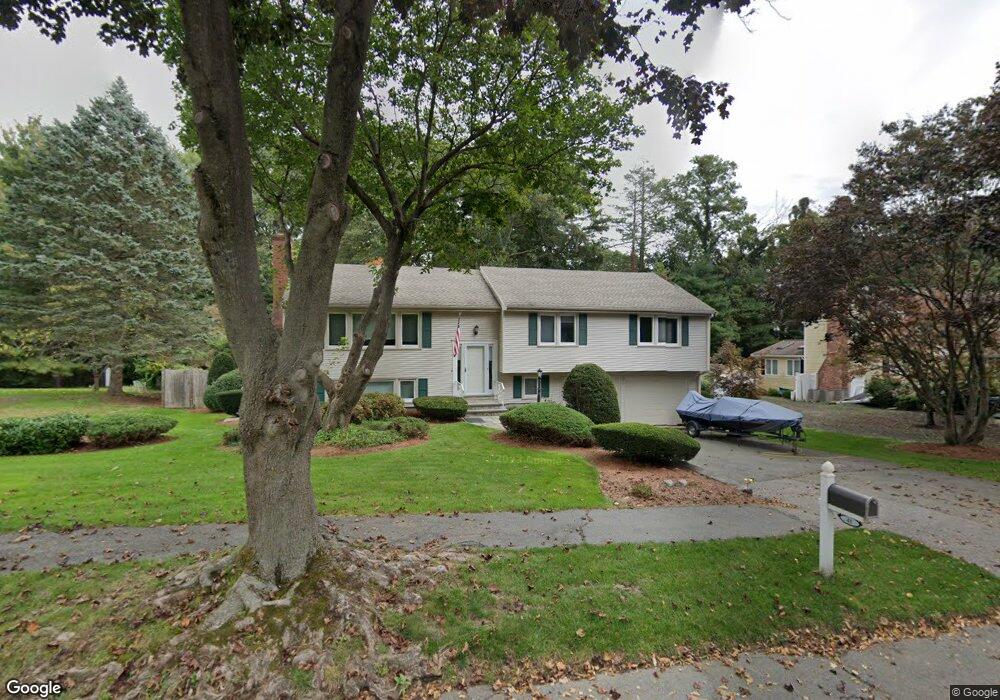
41 Cliff Rd Waltham, MA 02452
North Waltham NeighborhoodEstimated Value: $1,038,740 - $1,251,000
3
Beds
3
Baths
2,208
Sq Ft
$535/Sq Ft
Est. Value
About This Home
This home is located at 41 Cliff Rd, Waltham, MA 02452 and is currently estimated at $1,181,185, approximately $534 per square foot. 41 Cliff Rd is a home located in Middlesex County with nearby schools including Northeast Elementary School, John F Kennedy Middle School, and Waltham Sr High School.
Ownership History
Date
Name
Owned For
Owner Type
Purchase Details
Closed on
Sep 8, 2006
Sold by
Concetta Richard Raymond T and Concetta Richard
Bought by
Brown Christine N
Current Estimated Value
Home Financials for this Owner
Home Financials are based on the most recent Mortgage that was taken out on this home.
Original Mortgage
$75,000
Outstanding Balance
$45,334
Interest Rate
6.79%
Mortgage Type
Purchase Money Mortgage
Estimated Equity
$1,135,851
Create a Home Valuation Report for This Property
The Home Valuation Report is an in-depth analysis detailing your home's value as well as a comparison with similar homes in the area
Home Values in the Area
Average Home Value in this Area
Purchase History
| Date | Buyer | Sale Price | Title Company |
|---|---|---|---|
| Brown Christine N | $632,500 | -- |
Source: Public Records
Mortgage History
| Date | Status | Borrower | Loan Amount |
|---|---|---|---|
| Open | Brown Christine N | $75,000 |
Source: Public Records
Tax History Compared to Growth
Tax History
| Year | Tax Paid | Tax Assessment Tax Assessment Total Assessment is a certain percentage of the fair market value that is determined by local assessors to be the total taxable value of land and additions on the property. | Land | Improvement |
|---|---|---|---|---|
| 2025 | $8,969 | $913,300 | $519,300 | $394,000 |
| 2024 | $8,498 | $881,500 | $495,000 | $386,500 |
| 2023 | $8,408 | $814,700 | $450,000 | $364,700 |
| 2022 | $8,523 | $765,100 | $414,000 | $351,100 |
| 2021 | $5,105 | $725,000 | $396,000 | $329,000 |
| 2020 | $5,805 | $665,000 | $369,000 | $296,000 |
| 2019 | $8,233 | $650,300 | $364,500 | $285,800 |
| 2018 | $5,275 | $568,300 | $337,500 | $230,800 |
| 2017 | $6,742 | $536,800 | $306,000 | $230,800 |
| 2016 | $6,350 | $518,800 | $288,000 | $230,800 |
| 2015 | $6,770 | $515,600 | $283,500 | $232,100 |
Source: Public Records
Map
Nearby Homes
- 70 Rosewood Dr
- 116 Raffaele Dr
- 55 Circle Dr
- 28 College Farm Rd Unit 2
- 511 Lexington St
- 266 Linden St
- 34 Cedar Hill Ln
- 750 Trapelo Rd
- 23 Wight St
- 49 Lincoln St
- 44 Sachem St
- 45 Chase Rd
- 14 Piedmont Ave
- 65 Woburn St
- 107 Clocktower Dr Unit 3302
- 170 Clocktower Dr Unit 5103
- 30 Jacqueline Rd Unit C
- 87 Clocktower Dr Unit 2207
- 326 Bacon St
- 129 Lake St
- 47 Cliff Rd
- 31 Cliff Rd
- 175 Harrington Rd
- 169 Harrington Rd
- 55 Cliff Rd
- 48 Cliff Rd
- 34 Cliff Rd
- 21 Cliff Rd
- 185 Harrington Rd
- 161 Harrington Rd
- 15 Irene Cir
- 000 Classified
- 29 Juniper Hill Rd
- 5 Rutledge Terrace
- 5 Rutledge Terrace Unit 1
- 5 Rutledge Terrace
- 139 Harrington Rd
- 7 Cliff Rd
- 46 Juniper Hill Rd
- 56 Juniper Hill Rd