41 Duxbury Dr Holden, MA 01520
Estimated Value: $453,000 - $556,000
3
Beds
3
Baths
1,454
Sq Ft
$349/Sq Ft
Est. Value
About This Home
This home is located at 41 Duxbury Dr, Holden, MA 01520 and is currently estimated at $506,771, approximately $348 per square foot. 41 Duxbury Dr is a home located in Worcester County with nearby schools including Wachusett Regional High School and Holden Christian Academy.
Ownership History
Date
Name
Owned For
Owner Type
Purchase Details
Closed on
Nov 30, 2021
Sold by
White Kenneth S and White Nancy E
Bought by
White Lt
Current Estimated Value
Purchase Details
Closed on
Jul 26, 1991
Sold by
Portnow Arthur S and Portnow Ruth
Bought by
White Kenneth S and White Nancy E
Purchase Details
Closed on
Aug 17, 1987
Sold by
Ramachandra A
Bought by
Portnow Arthur S
Create a Home Valuation Report for This Property
The Home Valuation Report is an in-depth analysis detailing your home's value as well as a comparison with similar homes in the area
Home Values in the Area
Average Home Value in this Area
Purchase History
| Date | Buyer | Sale Price | Title Company |
|---|---|---|---|
| White Lt | -- | None Available | |
| White Kenneth S | $138,000 | -- | |
| Portnow Arthur S | $142,000 | -- |
Source: Public Records
Mortgage History
| Date | Status | Borrower | Loan Amount |
|---|---|---|---|
| Previous Owner | Portnow Arthur S | $107,700 | |
| Previous Owner | Portnow Arthur S | $135,000 |
Source: Public Records
Tax History Compared to Growth
Tax History
| Year | Tax Paid | Tax Assessment Tax Assessment Total Assessment is a certain percentage of the fair market value that is determined by local assessors to be the total taxable value of land and additions on the property. | Land | Improvement |
|---|---|---|---|---|
| 2025 | $5,598 | $403,900 | $159,300 | $244,600 |
| 2024 | $5,476 | $387,000 | $154,600 | $232,400 |
| 2023 | $5,279 | $352,200 | $134,400 | $217,800 |
| 2022 | $5,109 | $308,500 | $105,000 | $203,500 |
| 2021 | $4,935 | $283,600 | $100,000 | $183,600 |
| 2020 | $4,546 | $267,400 | $95,300 | $172,100 |
| 2019 | $4,500 | $257,900 | $95,300 | $162,600 |
| 2018 | $4,195 | $238,200 | $90,700 | $147,500 |
| 2017 | $4,090 | $232,500 | $90,700 | $141,800 |
| 2016 | $3,790 | $219,700 | $86,400 | $133,300 |
| 2015 | $3,776 | $208,400 | $86,400 | $122,000 |
| 2014 | $3,699 | $208,400 | $86,400 | $122,000 |
Source: Public Records
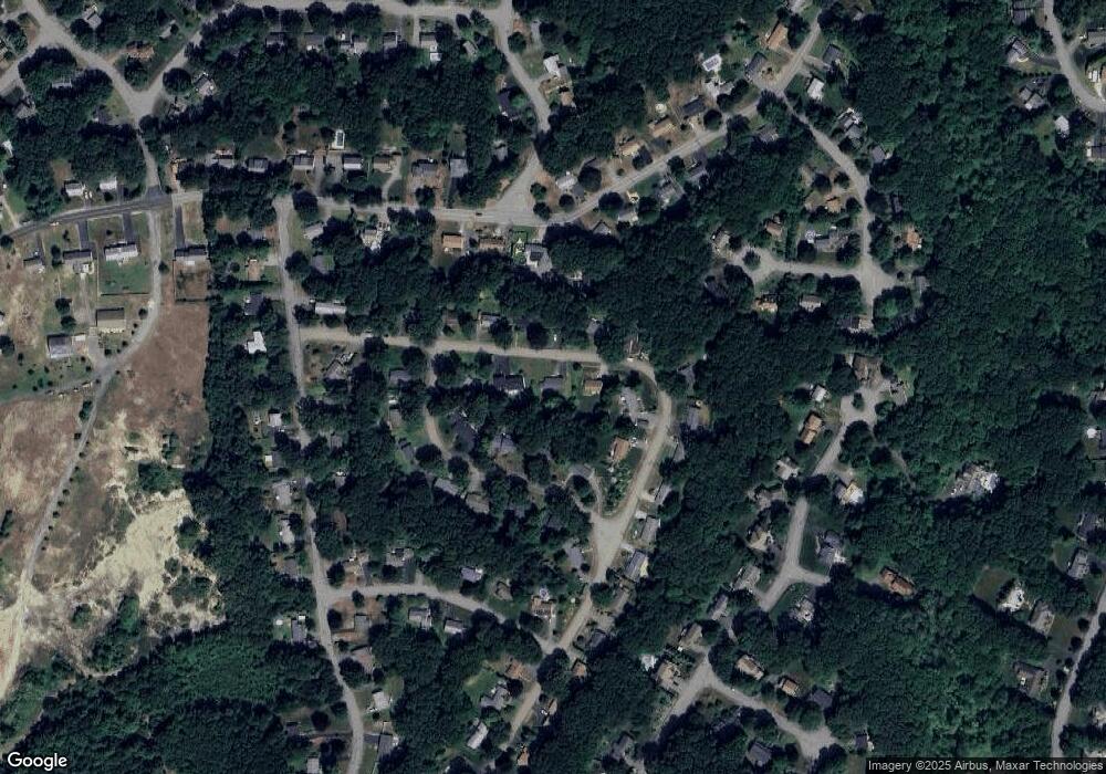
Map
Nearby Homes
- 60 Duxbury Dr
- 35 Laurel Hill Ln
- 9 Short St
- 3 Oakridge Rd
- 141 Lovell Rd
- 16 Highland Ave
- 56 Highland Ave
- 40 Princeton St
- 40 Jackson St
- 100 Avery Heights Dr
- 33 Meadow Wood Dr
- 26 Avery Heights Dr
- 300 Malden St
- 216 Reservoir St Unit 103
- 216 Reservoir St Unit 309
- 33 Thorny Lea Rd
- 124 Bailey Rd
- Lot 1 Manning St
- 8 (Lot 1) Holmes Dr
- 9 Holmes Dr
- 53 Duxbury Dr
- 35 Duxbury Dr
- 90 Valley Hill Dr
- 98 Valley Hill Dr
- 50 Duxbury Dr
- 63 Duxbury Dr
- 73 Duxbury Dr
- 36 Duxbury Dr
- 27 Duxbury Dr
- 108 Valley Hill Dr
- 82 Valley Hill Dr
- 30 Duxbury Dr
- 395 Quinapoxet St
- 26 Duxbury Dr
- 93 Valley Hill Dr
- 66 Duxbury Dr
- 391 Quinapoxet St
- 85 Valley Hill Dr
- 99 Valley Hill Dr
- 78 Duxbury Dr