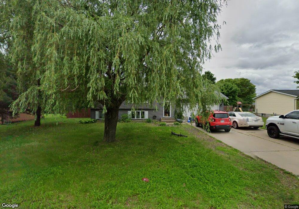
411 Aaron St Star Prairie, WI 54026
Estimated Value: $254,000 - $366,000
--
Bed
--
Bath
--
Sq Ft
0.31
Acres
About This Home
This home is located at 411 Aaron St, Star Prairie, WI 54026 and is currently estimated at $302,634. 411 Aaron St is a home located in St. Croix County with nearby schools including New Richmond High School.
Ownership History
Date
Name
Owned For
Owner Type
Purchase Details
Closed on
Mar 19, 2025
Sold by
Olson Anthony Charles
Bought by
Olson Lisa
Current Estimated Value
Home Financials for this Owner
Home Financials are based on the most recent Mortgage that was taken out on this home.
Original Mortgage
$154,300
Outstanding Balance
$153,493
Interest Rate
6.76%
Mortgage Type
New Conventional
Estimated Equity
$149,141
Purchase Details
Closed on
Aug 31, 2005
Sold by
Buffie Michael A and Buffie Deanne
Bought by
Olson Anthony
Home Financials for this Owner
Home Financials are based on the most recent Mortgage that was taken out on this home.
Original Mortgage
$132,000
Interest Rate
7.7%
Mortgage Type
Adjustable Rate Mortgage/ARM
Create a Home Valuation Report for This Property
The Home Valuation Report is an in-depth analysis detailing your home's value as well as a comparison with similar homes in the area
Home Values in the Area
Average Home Value in this Area
Purchase History
| Date | Buyer | Sale Price | Title Company |
|---|---|---|---|
| Olson Lisa | -- | Titlesmart | |
| Olson Anthony | $165,000 | None Available |
Source: Public Records
Mortgage History
| Date | Status | Borrower | Loan Amount |
|---|---|---|---|
| Open | Olson Lisa | $154,300 | |
| Previous Owner | Olson Anthony | $132,000 |
Source: Public Records
Tax History Compared to Growth
Tax History
| Year | Tax Paid | Tax Assessment Tax Assessment Total Assessment is a certain percentage of the fair market value that is determined by local assessors to be the total taxable value of land and additions on the property. | Land | Improvement |
|---|---|---|---|---|
| 2024 | $25 | $193,100 | $24,800 | $168,300 |
| 2023 | $2,368 | $193,100 | $24,800 | $168,300 |
| 2022 | $2,857 | $193,100 | $24,800 | $168,300 |
| 2021 | $2,567 | $116,600 | $16,500 | $100,100 |
| 2020 | $2,341 | $116,600 | $16,500 | $100,100 |
| 2019 | $2,198 | $116,600 | $16,500 | $100,100 |
| 2018 | $2,288 | $116,600 | $16,500 | $100,100 |
| 2017 | $2,241 | $116,600 | $16,500 | $100,100 |
| 2016 | $2,241 | $116,600 | $16,500 | $100,100 |
| 2015 | $2,168 | $116,600 | $16,500 | $100,100 |
| 2014 | $2,135 | $116,600 | $16,500 | $100,100 |
| 2013 | $2,132 | $116,600 | $16,500 | $100,100 |
Source: Public Records
Map
Nearby Homes
- 132 Hill Ave
- 2161 132nd St
- 1290 220th Ave
- 2167 County Road C
- 1320 216th Ave
- 2207 127th St
- 2106 135th St
- 1719 County Road H
- 1269 202nd Ave
- 1152 County Road C
- 102 206th St
- 2382 108th St
- 1408 Highway 64
- XXXX 363rd St
- 1256 195th Ave
- 1172 Caneel St
- 987 Turner Ln
- 3 W North Shore Dr
- 6 W North Shore Dr
- 2 W North Shore Dr