412 Almond Rd Reidsville, NC 27320
Estimated Value: $182,874 - $287,000
--
Bed
--
Bath
1,584
Sq Ft
$144/Sq Ft
Est. Value
About This Home
This home is located at 412 Almond Rd, Reidsville, NC 27320 and is currently estimated at $227,469, approximately $143 per square foot. 412 Almond Rd is a home located in Rockingham County with nearby schools including Bethany Elementary School, Rockingham County Middle School, and Rockingham County High School.
Ownership History
Date
Name
Owned For
Owner Type
Purchase Details
Closed on
Oct 18, 2024
Sold by
Doom Sarah Small and Doom Anthony Wayne
Bought by
Doom Anthony Wayne and Doom Sarah Small
Current Estimated Value
Home Financials for this Owner
Home Financials are based on the most recent Mortgage that was taken out on this home.
Original Mortgage
$113,500
Outstanding Balance
$105,824
Interest Rate
6.35%
Mortgage Type
New Conventional
Estimated Equity
$121,645
Create a Home Valuation Report for This Property
The Home Valuation Report is an in-depth analysis detailing your home's value as well as a comparison with similar homes in the area
Home Values in the Area
Average Home Value in this Area
Purchase History
| Date | Buyer | Sale Price | Title Company |
|---|---|---|---|
| Doom Anthony Wayne | -- | None Listed On Document |
Source: Public Records
Mortgage History
| Date | Status | Borrower | Loan Amount |
|---|---|---|---|
| Open | Doom Anthony Wayne | $113,500 |
Source: Public Records
Tax History Compared to Growth
Tax History
| Year | Tax Paid | Tax Assessment Tax Assessment Total Assessment is a certain percentage of the fair market value that is determined by local assessors to be the total taxable value of land and additions on the property. | Land | Improvement |
|---|---|---|---|---|
| 2025 | $977 | $139,493 | $40,579 | $98,914 |
| 2024 | $922 | $139,493 | $40,579 | $98,914 |
| 2023 | $922 | $82,363 | $25,158 | $57,205 |
| 2022 | $663 | $82,363 | $25,158 | $57,205 |
| 2021 | $663 | $82,363 | $25,158 | $57,205 |
| 2020 | $663 | $82,363 | $25,158 | $57,205 |
| 2019 | $663 | $82,363 | $25,158 | $57,205 |
| 2018 | $646 | $80,153 | $32,318 | $47,835 |
| 2017 | $646 | $80,153 | $32,318 | $47,835 |
| 2015 | $653 | $80,153 | $32,318 | $47,835 |
| 2014 | $646 | $80,153 | $32,318 | $47,835 |
Source: Public Records
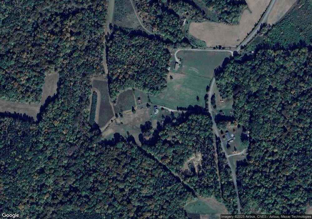
Map
Nearby Homes
- 4830 Nc Highway 65
- Parcel C Iron Works Rd
- 00 Almond Rd
- 64.88 Ac Purcell Rd
- 0 Jones Chapel Rd
- 2041 Sandy Cross Rd
- 1731 Sandy Cross Rd
- 613 Barker Rd
- 387 Vernon Rd
- 205 Pearman Rd
- 00 Mccollum Rd
- 309 Vernon Rd
- 6821 Nc Highway 65
- 11630 U S Highway 158
- 130 Laced Maple Ct
- 00 Massey Creek Rd
- 00 Rock Spring Dr
- 744 Monroeton Rd
- 223 Wendy Oak Rd
- 898 Sandy Cross Rd
- 419 Almond Rd
- 387 Almond Rd
- 363 Almond Rd
- 291 Almond Rd
- 248 Almond Rd
- 586 Almond Rd
- 625 Almond Rd
- 4820 Nc Highway 65
- 4846 N Carolina 65
- 672 Almond Rd
- 3813 Iron Works Rd
- 3881 Iron Works Rd
- 200 Almond Rd
- 3789 Iron Works Rd
- 4738 Nc Highway 65
- 3773 Iron Works Rd
- 3843 Iron Works Rd
- 3739 Iron Works Rd
- 4738 N Carolina 65
- Tract 1 Nc Highway 65