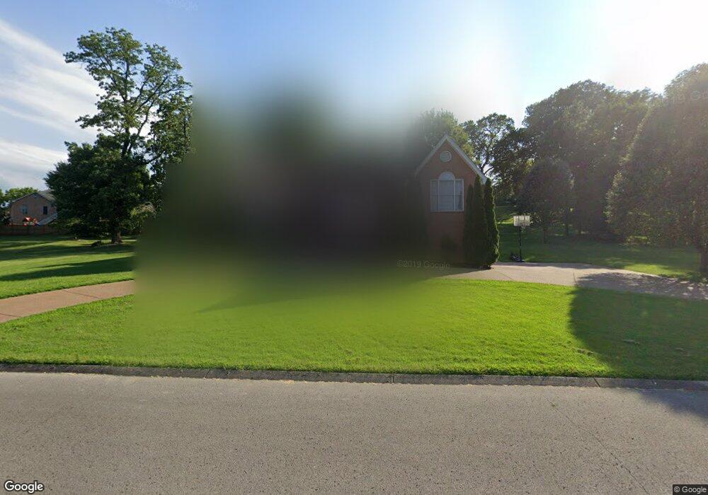
412 Barnes Dr Lebanon, TN 37087
Estimated Value: $526,465 - $675,000
--
Bed
3
Baths
2,935
Sq Ft
$217/Sq Ft
Est. Value
About This Home
This home is located at 412 Barnes Dr, Lebanon, TN 37087 and is currently estimated at $636,116, approximately $216 per square foot. 412 Barnes Dr is a home located in Wilson County with nearby schools including Castle Heights Elementary School, Winfree Bryant Middle School, and Lebanon High School.
Ownership History
Date
Name
Owned For
Owner Type
Purchase Details
Closed on
Mar 30, 1998
Sold by
Begala Michael P
Bought by
Purnell Ben C and Purnell Evelyn C
Current Estimated Value
Purchase Details
Closed on
Oct 28, 1994
Sold by
C & D Custom Homes Inc
Bought by
Begala Michael P
Purchase Details
Closed on
Jan 12, 1994
Bought by
C & D Custom Homes Inc
Purchase Details
Closed on
Dec 4, 1989
Bought by
Schenk William D and Schenk Linda
Purchase Details
Closed on
Apr 4, 1904
Bought by
Horn Springs Development
Create a Home Valuation Report for This Property
The Home Valuation Report is an in-depth analysis detailing your home's value as well as a comparison with similar homes in the area
Home Values in the Area
Average Home Value in this Area
Purchase History
| Date | Buyer | Sale Price | Title Company |
|---|---|---|---|
| Purnell Ben C | $210,000 | -- | |
| Begala Michael P | $184,900 | -- | |
| C & D Custom Homes Inc | $40,000 | -- | |
| Schenk William D | -- | -- | |
| Horn Springs Development | -- | -- |
Source: Public Records
Tax History Compared to Growth
Tax History
| Year | Tax Paid | Tax Assessment Tax Assessment Total Assessment is a certain percentage of the fair market value that is determined by local assessors to be the total taxable value of land and additions on the property. | Land | Improvement |
|---|---|---|---|---|
| 2024 | $1,936 | $87,750 | $16,250 | $71,500 |
| 2022 | $2,538 | $87,750 | $16,250 | $71,500 |
| 2021 | $2,537 | $87,750 | $16,250 | $71,500 |
| 2020 | $2,645 | $87,750 | $16,250 | $71,500 |
| 2019 | $603 | $70,375 | $12,025 | $58,350 |
| 2018 | $2,470 | $70,375 | $12,025 | $58,350 |
| 2017 | $2,470 | $70,375 | $12,025 | $58,350 |
| 2016 | $2,470 | $70,375 | $12,025 | $58,350 |
| 2015 | $2,553 | $70,375 | $12,025 | $58,350 |
| 2014 | $2,313 | $63,747 | $0 | $0 |
Source: Public Records
Map
Nearby Homes
- 2019 Arlington Rd
- 1930 Arlington Rd
- 1920 Hampton Dr
- 1925 Vicksburg Ln
- 108 Southfork Dr
- 1915 Appomattox Dr
- 0 Horn Springs Rd Unit RTC2822257
- 0 Horn Springs Rd Unit RTC2822266
- 0 Horn Springs Rd Unit RTC2780684
- 3 Horn Springs Rd
- 1907 Roanoke Dr
- The McGinnis Plan at Stratford Station
- The Langford Plan at Stratford Station
- The Palmer Plan at Stratford Station
- The Braselton II Plan at Stratford Station
- The Harrington Plan at Stratford Station
- The Peachtree Plan at Stratford Station
- The Telfair Plan at Stratford Station
- The James Plan at Stratford Station
- 111 Gatwick Dr
- 408 Barnes Dr
- 409 Stonewall Ct
- 407 Stonewall Ct
- 413 Barnes Dr
- 411 Barnes Dr
- 415 Barnes Dr
- 2017 Arlington Rd
- 406 Barnes Dr
- 409 Barnes Dr
- 411 Stonewall Ct
- 418 Barnes Dr
- 417 Barnes Dr
- 408 Stonewall Ct
- 407 Barnes Dr
- 404 Barnes Dr
- 410 Stonewall Ct
- 402 Lexington Dr
- 404 Lexington Dr
- 400 Lexington Dr
- 419 Barnes Dr