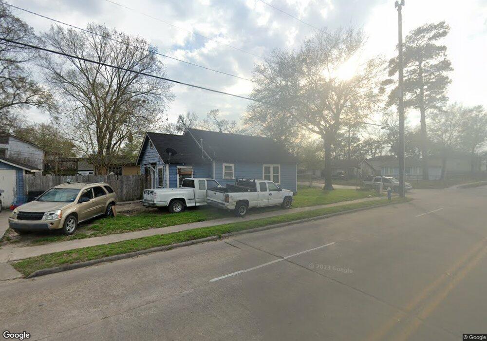
4120 Hain St Houston, TX 77009
Northside Village NeighborhoodEstimated Value: $244,000 - $314,826
2
Beds
1
Bath
872
Sq Ft
$322/Sq Ft
Est. Value
About This Home
This home is located at 4120 Hain St, Houston, TX 77009 and is currently estimated at $280,957, approximately $322 per square foot. 4120 Hain St is a home located in Harris County with nearby schools including Looscan Elementary School, Marshall Middle, and Northside High School.
Ownership History
Date
Name
Owned For
Owner Type
Purchase Details
Closed on
Dec 21, 2005
Sold by
Andrade William E and Zenith Sylvia Ann
Bought by
Andrade William Andrew
Current Estimated Value
Purchase Details
Closed on
Jun 5, 1995
Sold by
Bickford Joseph Edward
Bought by
Andrade William E and Andrade Sylvia Ann
Home Financials for this Owner
Home Financials are based on the most recent Mortgage that was taken out on this home.
Original Mortgage
$28,500
Interest Rate
8.17%
Create a Home Valuation Report for This Property
The Home Valuation Report is an in-depth analysis detailing your home's value as well as a comparison with similar homes in the area
Home Values in the Area
Average Home Value in this Area
Purchase History
| Date | Buyer | Sale Price | Title Company |
|---|---|---|---|
| Andrade William Andrew | -- | None Available | |
| Andrade William E | -- | -- |
Source: Public Records
Mortgage History
| Date | Status | Borrower | Loan Amount |
|---|---|---|---|
| Previous Owner | Andrade William E | $28,500 |
Source: Public Records
Tax History Compared to Growth
Tax History
| Year | Tax Paid | Tax Assessment Tax Assessment Total Assessment is a certain percentage of the fair market value that is determined by local assessors to be the total taxable value of land and additions on the property. | Land | Improvement |
|---|---|---|---|---|
| 2025 | $5,694 | $263,735 | $211,750 | $51,985 |
| 2024 | $5,694 | $272,140 | $215,875 | $56,265 |
| 2023 | $5,694 | $271,013 | $215,875 | $55,138 |
| 2022 | $5,129 | $232,934 | $173,250 | $59,684 |
| 2021 | $4,006 | $171,866 | $115,500 | $56,366 |
| 2020 | $4,125 | $170,336 | $115,500 | $54,836 |
| 2019 | $4,171 | $164,836 | $110,000 | $54,836 |
| 2018 | $3,244 | $128,180 | $83,875 | $44,305 |
| 2017 | $3,241 | $128,180 | $83,875 | $44,305 |
| 2016 | $3,057 | $120,884 | $77,000 | $43,884 |
| 2015 | $1,701 | $99,543 | $55,000 | $44,543 |
| 2014 | $1,701 | $66,154 | $24,750 | $41,404 |
Source: Public Records
Map
Nearby Homes
- 4201 Averill St
- 4113 Averill St
- 4109 Edison St
- 4215 Edison St
- 4307 Beggs St
- 3906 Beggs St
- 4209 Billingsley St
- 4317 Beggs St
- 4401 Hain St
- 324 Erin St
- 4202 Billingsley St
- 4502 Hain St
- 3911 Kennon St Unit A
- 3911 Fulton St
- 4512 Siegel St
- 111 Coronado St
- 4604 Beggs St
- 0 Mckee St Unit 11018021
- 4331 Cetti St
- 225 Royder St