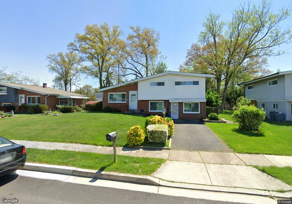
4121 Ronis Rd Pikesville, MD 21208
Estimated Value: $273,000 - $391,000
--
Bed
2
Baths
2,088
Sq Ft
$165/Sq Ft
Est. Value
About This Home
This home is located at 4121 Ronis Rd, Pikesville, MD 21208 and is currently estimated at $344,659, approximately $165 per square foot. 4121 Ronis Rd is a home located in Baltimore County with nearby schools including Bedford Elementary, Pikesville Middle School, and Milford Mill Academy.
Ownership History
Date
Name
Owned For
Owner Type
Purchase Details
Closed on
Aug 21, 2013
Sold by
Sarkin Leslie
Bought by
Ground Rents Llc
Current Estimated Value
Purchase Details
Closed on
Sep 15, 2010
Sold by
Greer Tara D
Bought by
Medley Ceasar R
Purchase Details
Closed on
Aug 22, 2003
Sold by
Glass Mary
Bought by
Glass Mary and Smythe Robert
Purchase Details
Closed on
Sep 10, 1996
Sold by
Glass Mary Tetrault Lucien
Bought by
Glass Mary and Smythe Robert
Create a Home Valuation Report for This Property
The Home Valuation Report is an in-depth analysis detailing your home's value as well as a comparison with similar homes in the area
Home Values in the Area
Average Home Value in this Area
Purchase History
| Date | Buyer | Sale Price | Title Company |
|---|---|---|---|
| Ground Rents Llc | $32,900 | None Available | |
| Medley Ceasar R | -- | -- | |
| Glass Mary | -- | -- | |
| Greer Tara D | $124,000 | -- | |
| Glass Mary | -- | -- |
Source: Public Records
Tax History Compared to Growth
Tax History
| Year | Tax Paid | Tax Assessment Tax Assessment Total Assessment is a certain percentage of the fair market value that is determined by local assessors to be the total taxable value of land and additions on the property. | Land | Improvement |
|---|---|---|---|---|
| 2025 | $4,381 | $281,500 | $61,400 | $220,100 |
| 2024 | $4,381 | $263,633 | $0 | $0 |
| 2023 | $1,783 | $245,767 | $0 | $0 |
| 2022 | $3,469 | $227,900 | $61,400 | $166,500 |
| 2021 | $3,235 | $224,467 | $0 | $0 |
| 2020 | $3,235 | $221,033 | $0 | $0 |
| 2019 | $3,098 | $217,600 | $61,400 | $156,200 |
| 2018 | $2,891 | $207,533 | $0 | $0 |
| 2017 | $2,789 | $197,467 | $0 | $0 |
| 2016 | $2,269 | $187,400 | $0 | $0 |
| 2015 | $2,269 | $187,400 | $0 | $0 |
| 2014 | $2,269 | $187,400 | $0 | $0 |
Source: Public Records
Map
Nearby Homes
- 4124 Bedford Rd
- 725 Milford Mill Rd
- 799 Milford Mill Rd
- 611 Cylburn Rd
- 605 Upland Rd
- 611 Cliveden Rd
- 616 Sudbrook Rd
- 7215 Rockridge Rd
- 503 Nassau St
- 4348 Danlou Dr
- 925 Milford Mill Rd
- 913 Adana Rd
- 306 Upland Rd
- 702 Westover Rd
- 937 Olmstead Rd
- 3811 Coronado Rd
- 906 Scotts Hill Dr
- 7804 Carmel Cir
- 3809 Southern Cross Dr
- 3512 Mayfair Rd