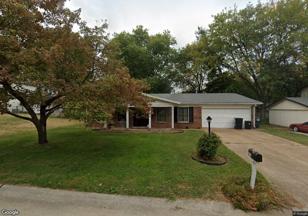
413 Harpers Ferry Rd Belleville, IL 62221
Estimated Value: $185,000 - $285,000
4
Beds
2
Baths
1,715
Sq Ft
$125/Sq Ft
Est. Value
About This Home
This home is located at 413 Harpers Ferry Rd, Belleville, IL 62221 and is currently estimated at $214,063, approximately $124 per square foot. 413 Harpers Ferry Rd is a home located in St. Clair County with nearby schools including Belle Valley Elementary School-North, Zion Lutheran School Belleville, and St Teresa Catholic School.
Ownership History
Date
Name
Owned For
Owner Type
Purchase Details
Closed on
Sep 19, 2006
Sold by
Regan Dennis P and Regan Mary G
Bought by
Magee Rocky T
Current Estimated Value
Home Financials for this Owner
Home Financials are based on the most recent Mortgage that was taken out on this home.
Original Mortgage
$131,773
Outstanding Balance
$78,789
Interest Rate
6.59%
Mortgage Type
VA
Estimated Equity
$135,274
Create a Home Valuation Report for This Property
The Home Valuation Report is an in-depth analysis detailing your home's value as well as a comparison with similar homes in the area
Home Values in the Area
Average Home Value in this Area
Purchase History
| Date | Buyer | Sale Price | Title Company |
|---|---|---|---|
| Magee Rocky T | $129,000 | Chicago Title |
Source: Public Records
Mortgage History
| Date | Status | Borrower | Loan Amount |
|---|---|---|---|
| Open | Magee Rocky T | $131,773 |
Source: Public Records
Tax History Compared to Growth
Tax History
| Year | Tax Paid | Tax Assessment Tax Assessment Total Assessment is a certain percentage of the fair market value that is determined by local assessors to be the total taxable value of land and additions on the property. | Land | Improvement |
|---|---|---|---|---|
| 2024 | $3,612 | $42,730 | $6,526 | $36,204 |
| 2023 | $3,652 | $42,187 | $6,436 | $35,751 |
| 2022 | $3,478 | $38,422 | $5,862 | $32,560 |
| 2021 | $3,442 | $36,845 | $5,621 | $31,224 |
| 2020 | $3,377 | $34,314 | $5,235 | $29,079 |
| 2019 | $3,304 | $34,145 | $5,342 | $28,803 |
| 2018 | $3,193 | $33,274 | $5,206 | $28,068 |
| 2017 | $3,120 | $32,388 | $5,067 | $27,321 |
| 2016 | $3,118 | $31,271 | $4,892 | $26,379 |
| 2014 | $2,944 | $32,731 | $6,281 | $26,450 |
| 2013 | $2,997 | $32,731 | $6,281 | $26,450 |
Source: Public Records
Map
Nearby Homes
- 405 Todd Ln
- 747 Farragut Ct
- 372 Roanoke Dr
- 1420 Vicksburg Dr
- 300 Todd Ln
- 2077 Camrose Green St
- 0 Denvershire Dr
- 3300 Berwin Green Dr
- 2073 Camrose Green St
- 2069 Camrose Green St
- 3313 Denvershire Dr
- 2065 Camrose Green St
- 3304 Berwin Green Dr
- 2061 Camrose Green St
- 2057 Camrose Green St
- 2053 Camrose Green St
- 340 Roanoke Dr
- 2049 Camrose Green St
- 1301 Springfield Dr
- 2021 Camrose Green St
- 413 Harpers Ferry Dr
- 409 Harpers Ferry Dr
- 1021 Vicksburg Dr
- 412 Bull Run Rd
- 408 Bull Run Rd
- 1017 Vicksburg Dr
- 405 Harpers Ferry Dr
- 412 Harpers Ferry Dr
- 408 Harpers Ferry Dr
- 408 Harpers Ferry Rd
- 1029 Vicksburg Dr
- 404 Bull Run Rd
- 404 Harpers Ferry Dr
- 401 Harpers Ferry Rd
- 1020 Vicksburg Dr
- 401 Harpers Ferry Dr
- 1024 Vicksburg Dr
- 1016 Vicksburg Dr
- 400 Bull Run Rd
- 1028 Vicksburg Dr