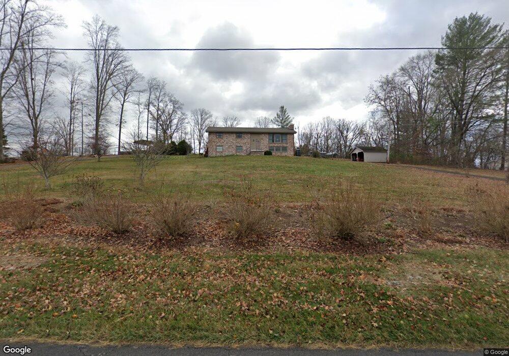
413 Holston Dr Blountville, TN 37617
Estimated Value: $343,000 - $459,000
3
Beds
2
Baths
2,184
Sq Ft
$178/Sq Ft
Est. Value
About This Home
This home is located at 413 Holston Dr, Blountville, TN 37617 and is currently estimated at $389,167, approximately $178 per square foot. 413 Holston Dr is a home located in Sullivan County with nearby schools including Holston Elementary School, Sullivan Central Middle School, and Tri-Cities Christian Academy.
Ownership History
Date
Name
Owned For
Owner Type
Purchase Details
Closed on
Oct 25, 2010
Sold by
Webb Jon M
Bought by
Vance Frances Bertels
Current Estimated Value
Home Financials for this Owner
Home Financials are based on the most recent Mortgage that was taken out on this home.
Original Mortgage
$165,000
Outstanding Balance
$109,473
Interest Rate
4.38%
Estimated Equity
$279,694
Purchase Details
Closed on
Feb 28, 2001
Sold by
Wanda Bkaer
Bought by
Jon Webb
Create a Home Valuation Report for This Property
The Home Valuation Report is an in-depth analysis detailing your home's value as well as a comparison with similar homes in the area
Home Values in the Area
Average Home Value in this Area
Purchase History
| Date | Buyer | Sale Price | Title Company |
|---|---|---|---|
| Vance Frances Bertels | $165,000 | -- | |
| Jon Webb | $137,500 | -- |
Source: Public Records
Mortgage History
| Date | Status | Borrower | Loan Amount |
|---|---|---|---|
| Open | Jon Webb | $165,000 |
Source: Public Records
Tax History Compared to Growth
Tax History
| Year | Tax Paid | Tax Assessment Tax Assessment Total Assessment is a certain percentage of the fair market value that is determined by local assessors to be the total taxable value of land and additions on the property. | Land | Improvement |
|---|---|---|---|---|
| 2024 | $879 | $35,225 | $5,400 | $29,825 |
| 2023 | $848 | $35,225 | $5,400 | $29,825 |
| 2022 | $848 | $35,225 | $5,400 | $29,825 |
| 2021 | $848 | $35,225 | $5,400 | $29,825 |
| 2020 | $848 | $35,225 | $5,400 | $29,825 |
| 2019 | $848 | $33,000 | $5,400 | $27,600 |
| 2018 | $842 | $33,000 | $5,400 | $27,600 |
| 2017 | $842 | $33,000 | $5,400 | $27,600 |
| 2016 | $799 | $31,025 | $5,400 | $25,625 |
| 2014 | $715 | $31,018 | $0 | $0 |
Source: Public Records
Map
Nearby Homes
- 355 Holston Dr
- The Quinn Plan at Ashland Oaks
- The Audrey Plan at Ashland Oaks
- Phoenix Single Plan at Ashland Oaks
- 210 Centenary Rd
- 2188 Tennessee 75
- 132 Sanders St
- 101 Bond Town Rd
- 129 Forest Ln N
- 239 Brown Cir
- 205 Grande Harbor Way
- 191 Grande Harbor Way
- 148 Forest Ln S
- 205 Forest Ct
- 295 Brown Cir
- 550 Country View Private Dr
- 156 Forest Ln N
- 164 Forest Ln N
- 145 Grande Harbor Way
- 304 Rutledge Ln
- TBD Holston Private Dr
- 429 Holston Dr
- 0 Holston Private Dr
- 298 Cash Ave
- 412 Holston Dr
- 387 Holston Dr
- 394 Holston Dr
- 406 Holston Dr
- 381 Holston Dr
- 479 Holston Dr
- 373 Holston Dr
- 477 Holston Dr
- 331 Holston Dr
- 516 Holston Dr
- 278 Crawford Ln
- 231 Crawford Ln
- 307 Holston Dr
- 208 Cash Ave
- 308 Crawford Ln
- 320 Crawford Ln