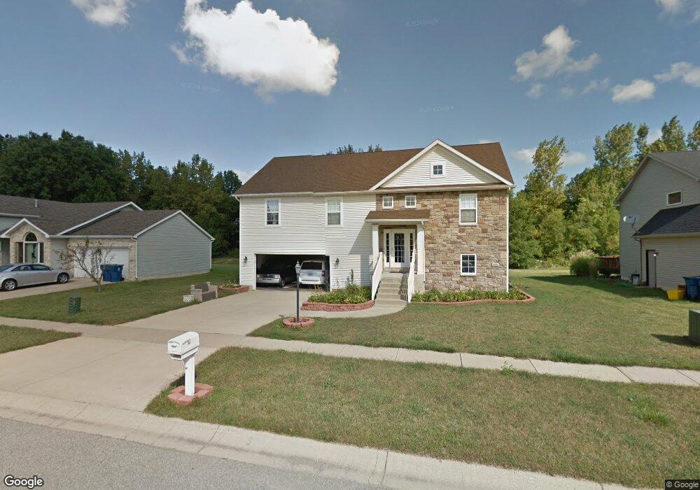
4140 Westwood Ln Chesterton, IN 46304
Estimated Value: $387,803 - $441,000
4
Beds
3
Baths
2,041
Sq Ft
$205/Sq Ft
Est. Value
About This Home
This home is located at 4140 Westwood Ln, Chesterton, IN 46304 and is currently estimated at $417,451, approximately $204 per square foot. 4140 Westwood Ln is a home located in Porter County with nearby schools including Liberty Elementary School, Liberty Intermediate School, and Chesterton Middle School.
Ownership History
Date
Name
Owned For
Owner Type
Purchase Details
Closed on
Apr 25, 2014
Sold by
Tucker William H and Tucker William H
Bought by
Tucker William Herman and Tucker Michelle Dawn
Current Estimated Value
Home Financials for this Owner
Home Financials are based on the most recent Mortgage that was taken out on this home.
Original Mortgage
$203,250
Interest Rate
3.2%
Mortgage Type
New Conventional
Create a Home Valuation Report for This Property
The Home Valuation Report is an in-depth analysis detailing your home's value as well as a comparison with similar homes in the area
Home Values in the Area
Average Home Value in this Area
Purchase History
| Date | Buyer | Sale Price | Title Company |
|---|---|---|---|
| Tucker William Herman | -- | Fidelity National Title |
Source: Public Records
Mortgage History
| Date | Status | Borrower | Loan Amount |
|---|---|---|---|
| Closed | Tucker William Herman | $203,250 |
Source: Public Records
Tax History Compared to Growth
Tax History
| Year | Tax Paid | Tax Assessment Tax Assessment Total Assessment is a certain percentage of the fair market value that is determined by local assessors to be the total taxable value of land and additions on the property. | Land | Improvement |
|---|---|---|---|---|
| 2024 | $2,940 | $295,000 | $45,400 | $249,600 |
| 2023 | $3,420 | $292,000 | $43,400 | $248,600 |
| 2022 | $3,400 | $308,400 | $43,400 | $265,000 |
| 2021 | $2,341 | $233,600 | $43,400 | $190,200 |
| 2020 | $2,090 | $214,100 | $39,700 | $174,400 |
| 2019 | $2,275 | $203,500 | $39,700 | $163,800 |
| 2018 | $2,203 | $197,200 | $39,700 | $157,500 |
| 2017 | $2,244 | $206,000 | $39,700 | $166,300 |
| 2016 | $1,927 | $189,400 | $39,500 | $149,900 |
| 2014 | $2,002 | $181,200 | $37,000 | $144,200 |
| 2013 | -- | $174,600 | $37,800 | $136,800 |
Source: Public Records
Map
Nearby Homes
- 2131 Pepperbush Ave
- 2141 Larchwood Ave
- 2513 Springdale St
- 1461 Eagle St
- 3585 Drivers Way
- 3525 Drivers Way
- 237 Cessna Dr
- V/L U S 20
- 0 St Rd 149 Unit NRA824925
- 283 Melton Rd
- The Duneland Plan at Village in Burns Harbor
- TBD Lenburg Rd
- 1151 Burns Blvd
- 210 Rainbow Dr
- 0 Burns Blvd
- 1162 Chesterfield Ave
- 1138 Weaver Way
- 1136 Weaver Way
- 1181 Harbor Way
- 1178 Harbor Way
- 4160 Westwood Ln
- 4130 Westwood Ln
- 4120 Westwood Ln
- 4120 Westwood Ln
- 4210 Westwood Ln
- 4200 Westwood Ln
- 4131 Westwood Ln
- 2121 Pepperbush Ave
- 4220 Westwood Ln
- 2130 Pinehurst Ave
- 2120 Pepperbush Ave
- 4100 Westwood Ln
- 2140 Pinehurst Ave
- 2121 Pinehurst Ave
- 4240 Westwood Ln
- 2131 Pinehurst Ave
- 2130 Pepperbush Ave
- 2141 Pinehurst Ave
- 2141 Pepperbush Ave
- 2150 Pinehurst Ave