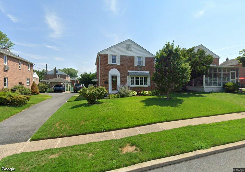
415 Benson Ave Glenolden, PA 19036
Estimated Value: $292,914 - $357,000
3
Beds
2
Baths
1,344
Sq Ft
$249/Sq Ft
Est. Value
About This Home
This home is located at 415 Benson Ave, Glenolden, PA 19036 and is currently estimated at $335,229, approximately $249 per square foot. 415 Benson Ave is a home located in Delaware County with nearby schools including Glenolden School, Interboro Senior High School, and Our Lady Of Fatima School.
Ownership History
Date
Name
Owned For
Owner Type
Purchase Details
Closed on
Sep 28, 2016
Sold by
Odonnell Edward J and Odonnell Karen L
Bought by
Esparza Justin and Donnell Erin O
Current Estimated Value
Home Financials for this Owner
Home Financials are based on the most recent Mortgage that was taken out on this home.
Original Mortgage
$154,230
Outstanding Balance
$123,526
Interest Rate
3.43%
Mortgage Type
New Conventional
Estimated Equity
$211,703
Purchase Details
Closed on
Jan 29, 1979
Sold by
O Donnell Edward J and Donnell Karen L O
Bought by
Odonnell Edward J and Odonell Karen L
Create a Home Valuation Report for This Property
The Home Valuation Report is an in-depth analysis detailing your home's value as well as a comparison with similar homes in the area
Home Values in the Area
Average Home Value in this Area
Purchase History
| Date | Buyer | Sale Price | Title Company |
|---|---|---|---|
| Esparza Justin | $159,000 | None Available | |
| Odonnell Edward J | $36,000 | -- |
Source: Public Records
Mortgage History
| Date | Status | Borrower | Loan Amount |
|---|---|---|---|
| Open | Esparza Justin | $154,230 |
Source: Public Records
Tax History Compared to Growth
Tax History
| Year | Tax Paid | Tax Assessment Tax Assessment Total Assessment is a certain percentage of the fair market value that is determined by local assessors to be the total taxable value of land and additions on the property. | Land | Improvement |
|---|---|---|---|---|
| 2025 | $5,484 | $152,920 | $43,350 | $109,570 |
| 2024 | $5,484 | $152,920 | $43,350 | $109,570 |
| 2023 | $5,365 | $152,920 | $43,350 | $109,570 |
| 2022 | $5,277 | $152,920 | $43,350 | $109,570 |
| 2021 | $7,445 | $152,920 | $43,350 | $109,570 |
| 2020 | $4,846 | $93,130 | $30,600 | $62,530 |
| 2019 | $4,793 | $93,130 | $30,600 | $62,530 |
| 2018 | $4,707 | $93,130 | $0 | $0 |
| 2017 | $4,603 | $93,130 | $0 | $0 |
| 2016 | $511 | $93,130 | $0 | $0 |
| 2015 | $522 | $93,130 | $0 | $0 |
| 2014 | $522 | $93,130 | $0 | $0 |
Source: Public Records
Map
Nearby Homes
- 464 Andrews Ave
- 303 Urban Ave
- 5 Sparks Cir
- 21 Benson Dr
- 311 Urban Ave
- 618 W South Ave
- 604 Crescent Dr
- 409 Urban Ave
- 122 Leon Ave
- 18 W Grays Ave
- 103 Willows Ave Unit 90
- 23 W Knowles Ave
- 32 S Macdade Blvd
- 323 S Chester Pike
- 630 Richfield Ave
- 707 Crescent Dr
- 105 Garfield Ave
- 614 S Garfield Ave
- 419 Custer Ave
- 211 Cedar Ave
- 413 Benson Ave
- 417 Benson Ave
- 414 W Grays Ave
- 411 Benson Ave
- 419 Benson Ave
- 412 W Grays Ave
- 416 W Grays Ave
- 410 W Grays Ave
- 409 Benson Ave
- 414 Benson Ave
- 418 W Grays Ave
- 412 Benson Ave
- 416 Benson Ave
- 421 Benson Ave
- 418 Benson Ave
- 408 W Grays Ave
- 410 Benson Ave
- 420 Benson Ave
- 420 W Grays Ave
- 407 Benson Ave