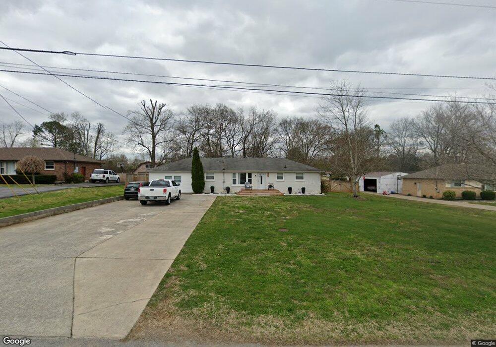
416 Clearview Dr Smyrna, TN 37167
Estimated Value: $344,820 - $425,000
--
Bed
3
Baths
2,251
Sq Ft
$168/Sq Ft
Est. Value
About This Home
This home is located at 416 Clearview Dr, Smyrna, TN 37167 and is currently estimated at $378,955, approximately $168 per square foot. 416 Clearview Dr is a home located in Rutherford County with nearby schools including Smyrna Primary School, Smyrna Middle School, and Smyrna High School.
Ownership History
Date
Name
Owned For
Owner Type
Purchase Details
Closed on
Oct 5, 2007
Sold by
Stribling Ray E
Bought by
Ahmed Meho
Current Estimated Value
Home Financials for this Owner
Home Financials are based on the most recent Mortgage that was taken out on this home.
Original Mortgage
$146,000
Outstanding Balance
$92,241
Interest Rate
6.44%
Estimated Equity
$286,714
Purchase Details
Closed on
Jan 11, 2005
Sold by
Ray Stribling
Bought by
Stribling Ray E and Stribling Renetta D
Purchase Details
Closed on
Nov 3, 2004
Sold by
Swafford David W and Swafford Regina
Bought by
Ray Stribling
Home Financials for this Owner
Home Financials are based on the most recent Mortgage that was taken out on this home.
Original Mortgage
$103,920
Interest Rate
4.88%
Purchase Details
Closed on
Jun 21, 1994
Sold by
Brown Raymond D
Bought by
Swafford David W
Purchase Details
Closed on
Nov 4, 1993
Sold by
Blansett Bailey Jeannie
Bought by
Brown Raymond D
Create a Home Valuation Report for This Property
The Home Valuation Report is an in-depth analysis detailing your home's value as well as a comparison with similar homes in the area
Home Values in the Area
Average Home Value in this Area
Purchase History
| Date | Buyer | Sale Price | Title Company |
|---|---|---|---|
| Ahmed Meho | $146,000 | -- | |
| Stribling Ray E | -- | -- | |
| Ray Stribling | $129,900 | -- | |
| Swafford David W | -- | -- | |
| Brown Raymond D | $46,250 | -- |
Source: Public Records
Mortgage History
| Date | Status | Borrower | Loan Amount |
|---|---|---|---|
| Open | Brown Raymond D | $146,000 | |
| Previous Owner | Brown Raymond D | $103,920 |
Source: Public Records
Tax History Compared to Growth
Tax History
| Year | Tax Paid | Tax Assessment Tax Assessment Total Assessment is a certain percentage of the fair market value that is determined by local assessors to be the total taxable value of land and additions on the property. | Land | Improvement |
|---|---|---|---|---|
| 2025 | $1,874 | $78,025 | $13,750 | $64,275 |
| 2024 | $1,874 | $78,025 | $13,750 | $64,275 |
| 2023 | $1,829 | $76,150 | $13,750 | $62,400 |
| 2022 | $1,631 | $76,150 | $13,750 | $62,400 |
| 2021 | $1,412 | $48,350 | $8,750 | $39,600 |
| 2020 | $1,412 | $48,350 | $8,750 | $39,600 |
| 2019 | $1,412 | $48,350 | $8,750 | $39,600 |
| 2018 | $1,354 | $48,350 | $0 | $0 |
| 2017 | $1,206 | $33,825 | $0 | $0 |
| 2016 | $1,206 | $33,825 | $0 | $0 |
| 2015 | $1,206 | $33,825 | $0 | $0 |
| 2014 | $841 | $33,825 | $0 | $0 |
| 2013 | -- | $30,650 | $0 | $0 |
Source: Public Records
Map
Nearby Homes
- 205 Bane Dr
- 201 Bane Dr
- 203 McNickle Dr
- 116 Avondale Dr
- 108 McNickle Dr
- 104 Belaire Dr
- 106 Halfrunner Way Unit 4
- 104 Halfrunner Way Unit 3
- 102 Halfrunner Way Unit 2
- 1547 Repton Rd
- 100 Halfrunner Way Unit 1
- 303 Davis Park Dr
- 104 Evanmeade Dr
- 3011 Denny Brooke Ln
- 203 S Lowry St
- 213 Stewarts Landing Cir
- 211 Stewarts Landing Cir
- 340 Stewarts Landing Cir
- 307 Dartford Ct
- 202 Latimer Dr