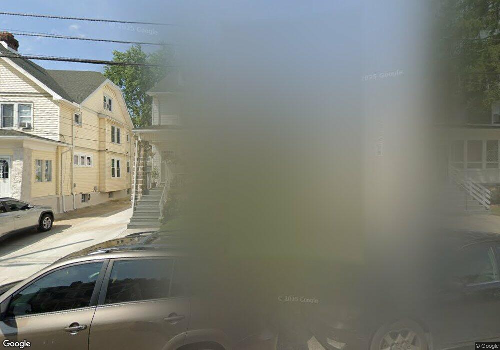
416 Laurel Rd Lansdowne, PA 19050
Estimated Value: $215,000 - $250,667
3
Beds
2
Baths
1,400
Sq Ft
$169/Sq Ft
Est. Value
About This Home
This home is located at 416 Laurel Rd, Lansdowne, PA 19050 and is currently estimated at $236,667, approximately $169 per square foot. 416 Laurel Rd is a home located in Delaware County with nearby schools including Evans Elementary School, Penn Wood Middle School, and Penn Wood High School - Cypress Street Campus.
Ownership History
Date
Name
Owned For
Owner Type
Purchase Details
Closed on
Sep 25, 2008
Sold by
Stewart Claudette Rosemarie and Powell Claudette R
Bought by
Powell Claudette R
Current Estimated Value
Home Financials for this Owner
Home Financials are based on the most recent Mortgage that was taken out on this home.
Original Mortgage
$88,000
Outstanding Balance
$22,000
Interest Rate
6.54%
Mortgage Type
Stand Alone Refi Refinance Of Original Loan
Estimated Equity
$214,667
Purchase Details
Closed on
May 17, 1996
Sold by
Real Estate Recovery Inc
Bought by
Stewart Claudette Rosemarie
Home Financials for this Owner
Home Financials are based on the most recent Mortgage that was taken out on this home.
Original Mortgage
$71,900
Interest Rate
7.97%
Purchase Details
Closed on
Jun 25, 1994
Sold by
Bradsher Michael A and Bradsher Joane Y
Bought by
Real Estate Recovery Inc
Create a Home Valuation Report for This Property
The Home Valuation Report is an in-depth analysis detailing your home's value as well as a comparison with similar homes in the area
Home Values in the Area
Average Home Value in this Area
Purchase History
| Date | Buyer | Sale Price | Title Company |
|---|---|---|---|
| Powell Claudette R | -- | First American Title Ins Co | |
| Stewart Claudette Rosemarie | $79,900 | -- | |
| Real Estate Recovery Inc | $35,000 | -- |
Source: Public Records
Mortgage History
| Date | Status | Borrower | Loan Amount |
|---|---|---|---|
| Open | Powell Claudette R | $88,000 | |
| Closed | Stewart Claudette Rosemarie | $71,900 |
Source: Public Records
Tax History Compared to Growth
Tax History
| Year | Tax Paid | Tax Assessment Tax Assessment Total Assessment is a certain percentage of the fair market value that is determined by local assessors to be the total taxable value of land and additions on the property. | Land | Improvement |
|---|---|---|---|---|
| 2025 | $4,792 | $112,220 | $33,250 | $78,970 |
| 2024 | $4,792 | $112,220 | $33,250 | $78,970 |
| 2023 | $4,352 | $112,220 | $33,250 | $78,970 |
| 2022 | $4,150 | $112,220 | $33,250 | $78,970 |
| 2021 | $6,275 | $112,220 | $33,250 | $78,970 |
| 2020 | $4,681 | $74,950 | $19,180 | $55,770 |
| 2019 | $4,598 | $74,950 | $19,180 | $55,770 |
| 2018 | $4,534 | $74,950 | $0 | $0 |
| 2017 | $4,439 | $74,950 | $0 | $0 |
| 2016 | $411 | $74,950 | $0 | $0 |
| 2015 | $411 | $74,950 | $0 | $0 |
| 2014 | $411 | $74,950 | $0 | $0 |
Source: Public Records
Map
Nearby Homes
- 407 Church Ln
- 435 Bonsall Ave
- 503 Bonsall Ave
- 536 Cypress St
- 530 Orchard Ave
- 603 Penn St
- 702 Cedar Ave
- 711 Yeadon Ave Unit 1
- 722 Yeadon Ave
- 1016 Whitby Ave
- 608 Pembroke Ave
- 7026 Atlantic Ave
- 740 Church Ln
- 800 Bullock Ave
- 7123 Seaford Rd
- 7129 Seaford Rd
- 813 Arbor Rd
- 7000 Greenwood Ave
- 1212 S Millick St
- 408 S Union Ave