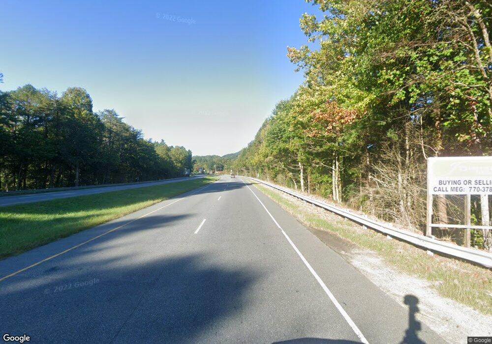
4160 Highway 19 W Bryson City, NC 28713
Estimated Value: $388,000 - $583,000
4
Beds
3
Baths
2,448
Sq Ft
$204/Sq Ft
Est. Value
About This Home
This home is located at 4160 Highway 19 W, Bryson City, NC 28713 and is currently estimated at $500,599, approximately $204 per square foot. 4160 Highway 19 W is a home located in Swain County with nearby schools including Swain County Middle School, Swain County West Elementary School, and Swain County High School.
Ownership History
Date
Name
Owned For
Owner Type
Purchase Details
Closed on
Mar 4, 2021
Sold by
Sedlak Pavel
Bought by
Selak Margaret E
Current Estimated Value
Purchase Details
Closed on
Feb 20, 2019
Sold by
Deas Roger S and Deas Pamela S
Bought by
Sedlak Pavel and Sedlak Margaret E
Home Financials for this Owner
Home Financials are based on the most recent Mortgage that was taken out on this home.
Original Mortgage
$214,000
Interest Rate
4.4%
Mortgage Type
New Conventional
Create a Home Valuation Report for This Property
The Home Valuation Report is an in-depth analysis detailing your home's value as well as a comparison with similar homes in the area
Home Values in the Area
Average Home Value in this Area
Purchase History
| Date | Buyer | Sale Price | Title Company |
|---|---|---|---|
| Selak Margaret E | -- | None Available | |
| Sedlak Pavel | $267,500 | None Available |
Source: Public Records
Mortgage History
| Date | Status | Borrower | Loan Amount |
|---|---|---|---|
| Previous Owner | Sedlak Pavel | $214,000 |
Source: Public Records
Tax History Compared to Growth
Tax History
| Year | Tax Paid | Tax Assessment Tax Assessment Total Assessment is a certain percentage of the fair market value that is determined by local assessors to be the total taxable value of land and additions on the property. | Land | Improvement |
|---|---|---|---|---|
| 2025 | $1,206 | $266,120 | $115,580 | $150,540 |
| 2024 | $1,206 | $266,120 | $115,580 | $150,540 |
| 2023 | $1,073 | $266,120 | $115,580 | $150,540 |
| 2022 | $1,073 | $266,120 | $115,580 | $150,540 |
| 2021 | $1,073 | $266,120 | $0 | $0 |
| 2020 | $698 | $173,120 | $94,300 | $78,820 |
| 2019 | $698 | $173,120 | $94,300 | $78,820 |
| 2018 | $702 | $173,120 | $94,300 | $78,820 |
| 2017 | $702 | $173,120 | $94,300 | $78,820 |
| 2016 | $702 | $173,120 | $94,300 | $78,820 |
| 2015 | -- | $173,120 | $94,300 | $78,820 |
| 2014 | -- | $173,120 | $94,300 | $78,820 |
Source: Public Records
Map
Nearby Homes
- 4160 U S 19
- 73 Robinson Gap Ln
- 65 Cunningham Rd
- 1955 Sam Davis Rd
- 210 Oak Hill Dr
- 67 Trent Field Rd
- 315 Big Rockys Rd
- 1400 Alarka Rd
- 166 Almond School Rd
- Lot 6 Biltmore Cir
- Lot 16 Bryson Gap Preserve
- Lot 15 Bryson Gap Preserve
- Lot 14 Bryson Gap Preserve
- 280 Bear Cove Rd
- 0 Hwy 28 S Unit 26040479
- Lot 64 Bobcat Trail
- 3.8 AC Bobcat Trail
- 0 Bear Cove Cir Unit 10081397
- 1028 Big Rockys Rd
- Lot 72 Bobcat
- 0 Parrish Rd
- 0 Lower Alarka Rd
- 4087 Highway 19 W
- 10288 Lower Alarka Rd
- 70 Parrish Rd
- 4077 Highway 19 W
- 9911 Lower Alarka Rd
- 4041 U S 19
- 4041 Highway 19 W
- 4470 Highway 19 W
- 10344 Lower Alarka Rd
- 4470 U S 74
- 10301 Lower Alarka Rd
- 10414 Lower Alarka Rd
- 114 Parrish Rd
- 261 Parrish Rd
- 10413 Lower Alarka Rd
- 10435 Lower Alarka Rd
- LOT 2 Hwy 19
- 2601 Sam Davis Rd
