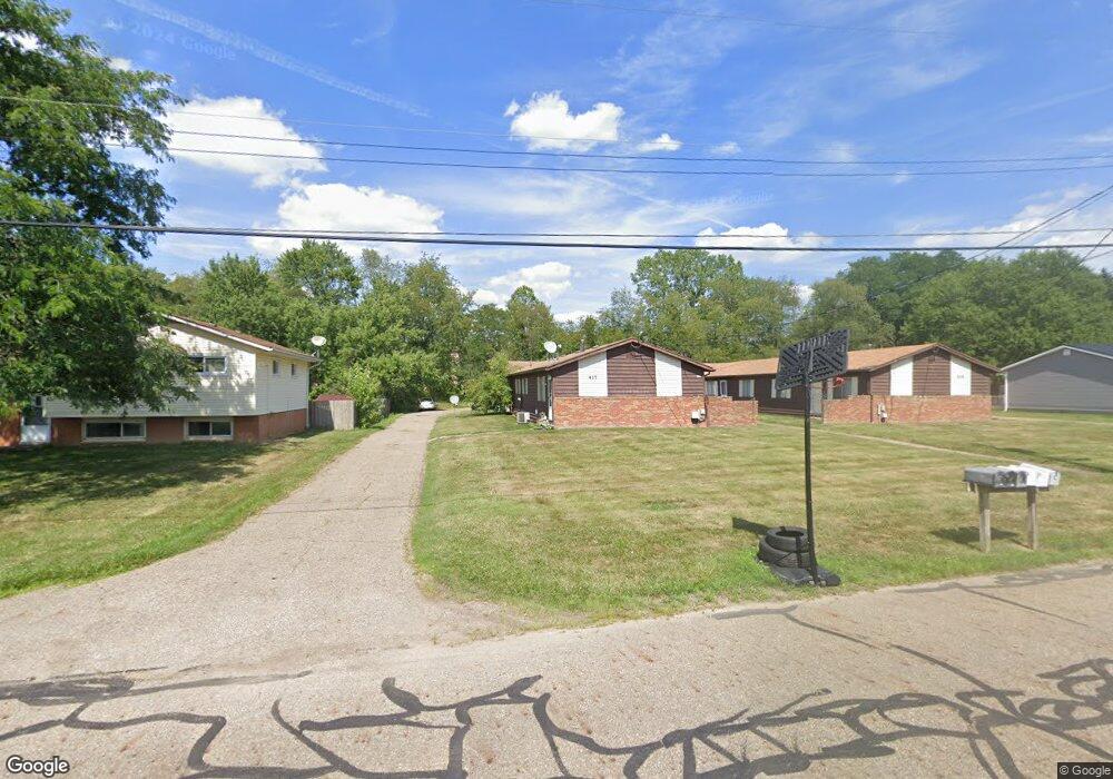
417 Taff Cir Louisville, OH 44641
Estimated Value: $213,000 - $232,000
6
Beds
3
Baths
2,304
Sq Ft
$97/Sq Ft
Est. Value
About This Home
This home is located at 417 Taff Cir, Louisville, OH 44641 and is currently estimated at $223,000, approximately $96 per square foot. 417 Taff Cir is a home located in Stark County with nearby schools including Louisville High School and St. Thomas Aquinas High School & Middle School.
Ownership History
Date
Name
Owned For
Owner Type
Purchase Details
Closed on
Feb 8, 2015
Sold by
Sherritt Jeffrey R and Sherritt Donna J
Bought by
Sherritt Family Revocable Trust Dated Ja
Current Estimated Value
Purchase Details
Closed on
Nov 30, 2004
Sold by
Fisher David A
Bought by
Sherritt Jeffrey R and Sherritt Donna J
Home Financials for this Owner
Home Financials are based on the most recent Mortgage that was taken out on this home.
Original Mortgage
$98,360
Outstanding Balance
$49,685
Interest Rate
5.86%
Mortgage Type
Purchase Money Mortgage
Estimated Equity
$173,315
Purchase Details
Closed on
Aug 20, 2002
Sold by
Fisher David A and Fisher Patricia L
Bought by
Fisher David A and Fisher Patricia L
Create a Home Valuation Report for This Property
The Home Valuation Report is an in-depth analysis detailing your home's value as well as a comparison with similar homes in the area
Home Values in the Area
Average Home Value in this Area
Purchase History
| Date | Buyer | Sale Price | Title Company |
|---|---|---|---|
| Sherritt Family Revocable Trust Dated Ja | -- | None Available | |
| Sherritt Jeffrey R | $245,900 | -- | |
| Fisher David A | -- | -- |
Source: Public Records
Mortgage History
| Date | Status | Borrower | Loan Amount |
|---|---|---|---|
| Open | Sherritt Jeffrey R | $98,360 |
Source: Public Records
Tax History Compared to Growth
Tax History
| Year | Tax Paid | Tax Assessment Tax Assessment Total Assessment is a certain percentage of the fair market value that is determined by local assessors to be the total taxable value of land and additions on the property. | Land | Improvement |
|---|---|---|---|---|
| 2025 | -- | $53,490 | $15,370 | $38,120 |
| 2024 | -- | $53,490 | $15,370 | $38,120 |
| 2023 | $2,163 | $49,150 | $15,230 | $33,920 |
| 2022 | $2,169 | $49,150 | $15,230 | $33,920 |
| 2021 | $2,175 | $49,150 | $15,230 | $33,920 |
| 2020 | $1,757 | $43,120 | $13,720 | $29,400 |
| 2019 | $1,772 | $42,770 | $13,720 | $29,050 |
| 2018 | $1,751 | $42,770 | $13,720 | $29,050 |
| 2017 | $1,653 | $38,960 | $11,200 | $27,760 |
| 2016 | $1,681 | $38,960 | $11,200 | $27,760 |
| 2015 | $1,686 | $38,960 | $11,200 | $27,760 |
| 2014 | $1,566 | $33,640 | $9,660 | $23,980 |
| 2013 | $783 | $33,640 | $9,660 | $23,980 |
Source: Public Records
Map
Nearby Homes
- 1702 View Pointe Ave
- 908 Sand Lot Cir
- 1639 Horizon Dr
- 510 S Bauman Ct
- 204 E Broad St
- 728 E Broad St
- 520 S Silver St
- 107 E Broad St
- 641 S Nickelplate St
- 308 Superior St
- 1715 High St
- 8225 Georgetown St
- 325 Lincoln Ave
- 1812 E Broad St
- 2110 Edmar St
- 0 Michigan Blvd
- 201 Indiana Ave
- 6969 Georgetown St NE
- 3390 Meese Rd NE
- 248 Menegay Rd