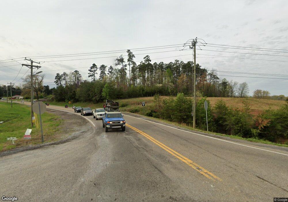
41700 Highway 95 N Lenoir City, TN 37772
Estimated Value: $257,000 - $315,000
3
Beds
2
Baths
2,128
Sq Ft
$130/Sq Ft
Est. Value
About This Home
This home is located at 41700 Highway 95 N, Lenoir City, TN 37772 and is currently estimated at $277,333, approximately $130 per square foot. 41700 Highway 95 N is a home with nearby schools including Loudon High School.
Ownership History
Date
Name
Owned For
Owner Type
Purchase Details
Closed on
Feb 20, 2003
Sold by
Vineyard Edward E
Bought by
Vineyard Edward O
Current Estimated Value
Purchase Details
Closed on
Sep 9, 1999
Sold by
David Mcnabb
Bought by
Tim Hart
Purchase Details
Closed on
Mar 30, 1998
Sold by
Jones Shirley A
Bought by
David Mcnabb
Home Financials for this Owner
Home Financials are based on the most recent Mortgage that was taken out on this home.
Original Mortgage
$44,200
Interest Rate
7.06%
Purchase Details
Closed on
Jan 1, 1982
Create a Home Valuation Report for This Property
The Home Valuation Report is an in-depth analysis detailing your home's value as well as a comparison with similar homes in the area
Home Values in the Area
Average Home Value in this Area
Purchase History
| Date | Buyer | Sale Price | Title Company |
|---|---|---|---|
| Vineyard Edward O | -- | -- | |
| Tim Hart | $54,500 | -- | |
| David Mcnabb | $52,000 | -- | |
| -- | $5,000 | -- |
Source: Public Records
Mortgage History
| Date | Status | Borrower | Loan Amount |
|---|---|---|---|
| Previous Owner | -- | $44,200 |
Source: Public Records
Tax History Compared to Growth
Tax History
| Year | Tax Paid | Tax Assessment Tax Assessment Total Assessment is a certain percentage of the fair market value that is determined by local assessors to be the total taxable value of land and additions on the property. | Land | Improvement |
|---|---|---|---|---|
| 2025 | $263 | $17,350 | $5,925 | $11,425 |
| 2023 | $263 | $17,350 | $0 | $0 |
| 2022 | $263 | $17,350 | $5,925 | $11,425 |
| 2021 | $263 | $17,350 | $5,925 | $11,425 |
| 2020 | $357 | $17,350 | $5,925 | $11,425 |
| 2019 | $357 | $19,800 | $5,300 | $14,500 |
| 2018 | $357 | $19,800 | $5,300 | $14,500 |
| 2017 | $357 | $19,800 | $5,300 | $14,500 |
| 2016 | $450 | $24,200 | $4,650 | $19,550 |
| 2015 | $450 | $24,200 | $4,650 | $19,550 |
| 2014 | $450 | $24,200 | $4,650 | $19,550 |
Source: Public Records
Map
Nearby Homes
- 883 Navigator Dr
- 385 Navigator Dr
- 517 Navigator Dr
- 811 Navigator Dr
- 865 Navigator Dr
- 1755 Friendsville Rd
- 9203 Antioch Church Rd E
- 0 E Antioch Church Road Rd E Unit 1295540
- 2423 Perkle Rd
- 0 Keaton Rd
- 0 Donaldson Light Ln Unit 24957010
- 0 Donaldson Light Ln Unit 1295284
- 0 Highway 321 S Unit 1287238
- 0 Highway 321 S Unit 1295537
- 292 Beckets Way
- 516 Beckets Way
- 28290 Highway 95 N
- 505 Plantation Way
- 181 Bulwark Way
- 497 Thompson Rd
- 41726 Highway 95 N
- 41420 Highway 95 N
- 41420 Tennessee 95
- 41625 Highway 95 N
- 535 Unitia Rd
- 185 Unitia Rd
- 42087 Highway 95 N
- 41151 Highway 95 N
- 42274 Highway 95 N
- 365 Unitia Rd
- 42369 Highway 95 N
- 987 Unitia Rd
- 40955 Highway 95 N
- 789 Unitia Rd
- 489 Unitia Rd
- 275 Unitia Rd
- 41105 Highway 95 N
- 42603 Highway 95 N
- 584 Unitia Rd
- 42504 Highway 95 N
