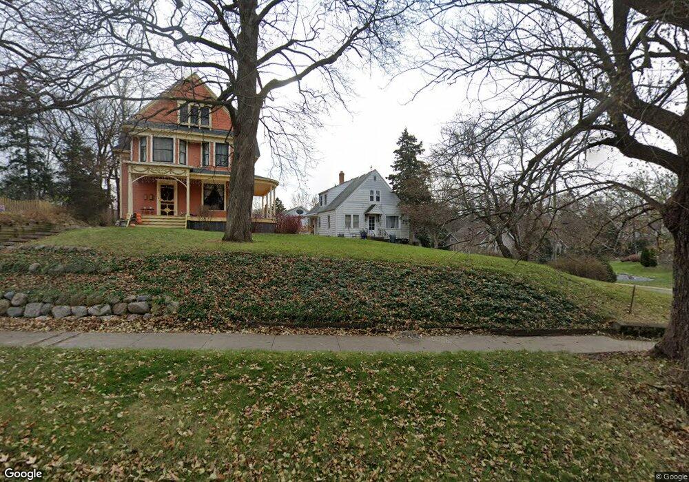
418 Fremont St Woodstock, IL 60098
Estimated Value: $229,828 - $285,000
2
Beds
--
Bath
1,400
Sq Ft
$189/Sq Ft
Est. Value
About This Home
This home is located at 418 Fremont St, Woodstock, IL 60098 and is currently estimated at $265,207, approximately $189 per square foot. 418 Fremont St is a home located in McHenry County with nearby schools including Dean Street Elementary School, Creekside Middle School, and Woodstock High School.
Ownership History
Date
Name
Owned For
Owner Type
Purchase Details
Closed on
Jan 26, 2024
Sold by
Fredricksen Rodney K and Fredricksen Mary P
Bought by
Fredricksen Family Revocable Living Trust and Fredricksen
Current Estimated Value
Purchase Details
Closed on
Apr 30, 1996
Sold by
Erber George R and Erber Barbara A
Bought by
Fredrickson Rodney K and Fredrickson Mary P
Home Financials for this Owner
Home Financials are based on the most recent Mortgage that was taken out on this home.
Original Mortgage
$88,000
Interest Rate
7%
Create a Home Valuation Report for This Property
The Home Valuation Report is an in-depth analysis detailing your home's value as well as a comparison with similar homes in the area
Home Values in the Area
Average Home Value in this Area
Purchase History
| Date | Buyer | Sale Price | Title Company |
|---|---|---|---|
| Fredricksen Family Revocable Living Trust | -- | None Listed On Document | |
| Fredrickson Rodney K | $110,000 | Land Title Group |
Source: Public Records
Mortgage History
| Date | Status | Borrower | Loan Amount |
|---|---|---|---|
| Previous Owner | Fredrickson Rodney K | $88,000 |
Source: Public Records
Tax History Compared to Growth
Tax History
| Year | Tax Paid | Tax Assessment Tax Assessment Total Assessment is a certain percentage of the fair market value that is determined by local assessors to be the total taxable value of land and additions on the property. | Land | Improvement |
|---|---|---|---|---|
| 2024 | $5,822 | $63,190 | $9,007 | $54,183 |
| 2023 | $5,590 | $57,144 | $8,145 | $48,999 |
| 2022 | $5,229 | $50,713 | $7,228 | $43,485 |
| 2021 | $5,000 | $47,382 | $6,753 | $40,629 |
| 2020 | $4,837 | $45,023 | $6,417 | $38,606 |
| 2019 | $4,715 | $42,977 | $6,125 | $36,852 |
| 2018 | $4,276 | $38,361 | $6,987 | $31,374 |
| 2017 | $4,223 | $36,104 | $6,576 | $29,528 |
| 2016 | $4,219 | $33,430 | $6,089 | $27,341 |
| 2013 | -- | $39,266 | $11,269 | $27,997 |
Source: Public Records
Map
Nearby Homes
- 601 S Jefferson St
- 434 Lake Ave
- 330 Lake Ave
- 331 Chestnut St
- 415 Dean St
- 9999 E Calhoun St
- 908 Bunker St
- 200 E Judd St
- 125 Forest Ave
- 104 Stewart Ave
- 1288 Prairie Ridge Trail
- 3848 Riverwoods Dr
- 3902 Riverwoods Dr
- 3842 Riverwoods Dr
- 3839 Riverwoods Dr
- Townsend Plan at Clublands of Antioch - Horizon Series
- Napa Plan at Clublands of Antioch - Andare Series
- 1249 Prairie Ridge Trail
- 3851 Riverwoods Dr
- 3827 Riverwoods Dr
- 424 Fremont St
- 601 Lawndale Ave
- 607 Lawndale Ave
- 600 Lawndale Ave
- 344 Fremont St
- 413 Fremont St
- 429 Fremont St
- 604 Lawndale Ave
- 438 Fremont St
- 417 S Madison St
- 613 Lawndale Ave
- 437 Fremont St
- 608 Lawndale Ave
- 445 Fremont St
- 619 Lawndale Ave
- 324 Vine St
- 316 Vine St
- 415 S Madison St
- 610 Lawndale Ave
- 334 Vine St