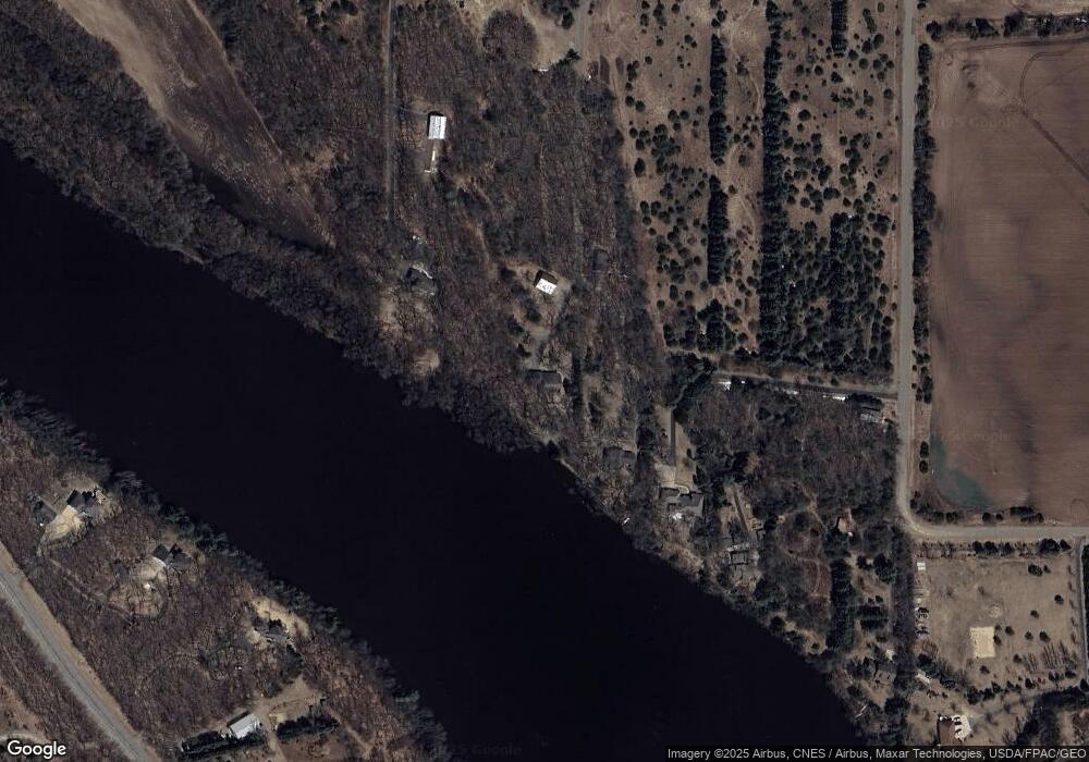
Estimated Value: $563,000 - $716,513
5
Beds
3
Baths
2,214
Sq Ft
$284/Sq Ft
Est. Value
About This Home
This home is located at 4180 121st St NW, Rice, MN 56367 and is currently estimated at $628,378, approximately $283 per square foot. 4180 121st St NW is a home located in Benton County with nearby schools including Rice Elementary School, Sauk Rapids-Rice Middle School, and Sauk Rapids-Rice Senior High School.
Ownership History
Date
Name
Owned For
Owner Type
Purchase Details
Closed on
Dec 26, 2017
Sold by
Savola Brad and Hodges-Savola Cheryl
Bought by
Savola Family Trust U/A 10 10 2017
Current Estimated Value
Purchase Details
Closed on
Nov 5, 2010
Sold by
Fusco Gene and Fusco Mary Ellen
Bought by
Savola Brad and Hodges Savola Cheryl
Home Financials for this Owner
Home Financials are based on the most recent Mortgage that was taken out on this home.
Original Mortgage
$288,000
Interest Rate
4.27%
Mortgage Type
New Conventional
Create a Home Valuation Report for This Property
The Home Valuation Report is an in-depth analysis detailing your home's value as well as a comparison with similar homes in the area
Home Values in the Area
Average Home Value in this Area
Purchase History
| Date | Buyer | Sale Price | Title Company |
|---|---|---|---|
| Savola Family Trust U/A 10 10 2017 | $368,000 | None Available | |
| Savola Brad | $360,000 | -- |
Source: Public Records
Mortgage History
| Date | Status | Borrower | Loan Amount |
|---|---|---|---|
| Previous Owner | Savola Brad | $288,000 |
Source: Public Records
Tax History Compared to Growth
Tax History
| Year | Tax Paid | Tax Assessment Tax Assessment Total Assessment is a certain percentage of the fair market value that is determined by local assessors to be the total taxable value of land and additions on the property. | Land | Improvement |
|---|---|---|---|---|
| 2025 | $7,842 | $651,400 | $155,200 | $496,200 |
| 2024 | $6,538 | $642,000 | $152,700 | $489,300 |
| 2023 | $6,380 | $577,300 | $144,700 | $432,600 |
| 2022 | $6,144 | $526,500 | $139,400 | $387,100 |
| 2021 | $6,222 | $457,800 | $132,800 | $325,000 |
| 2018 | $5,488 | $426,600 | $119,400 | $307,200 |
| 2017 | $5,488 | $371,600 | $86,783 | $284,817 |
| 2016 | $5,370 | $368,600 | $87,600 | $281,000 |
| 2015 | $5,450 | $340,700 | $86,084 | $254,616 |
| 2014 | -- | $325,200 | $85,677 | $239,523 |
| 2013 | -- | $326,800 | $87,600 | $239,200 |
Source: Public Records
Map
Nearby Homes
- 43107 County Road 1
- 41722 County Road 1
- 41658 County Road 1
- 504 11th Ave SW
- 605 9th Ave SW
- 7754 County Road 17
- 7930 County Road 2
- 955 3rd Ave NW
- 830 3rd St SW
- 935 2 1 2 Ave
- 940 2nd Ave SW
- 903 2nd Ave SW
- 960 2 1 2 Ave SW
- 131 1st Ave SE
- xxx County Road 1
- L3B4 E Crest Loop
- L1B6 E Crest Loop
- L1B5 E Crest Loop
- L2B4 E Crest Loop
- L4B6 E Crest Loop
- 4180 121st St NW
- 4180 121st St NW
- 4160 121st St NW
- 4100 Ricecliff Ln
- 4040 Ricecliff Ln
- 4198 121st St NW
- XXX Ricecliff Ln
- 42440 County Road 1
- 11815 40th Ave NW
- 42380 County Road 1
- 42444 County Road 1
- 3940 118th St NW
- 42500 County Road 1
- 3930 118th St NW
- 42238 County Road 1
- 42297 County Road 1
- 42206 County Road 1
- 11666 39th Ave NW
- 42529 County Road 1
- 42443 County Road 1
