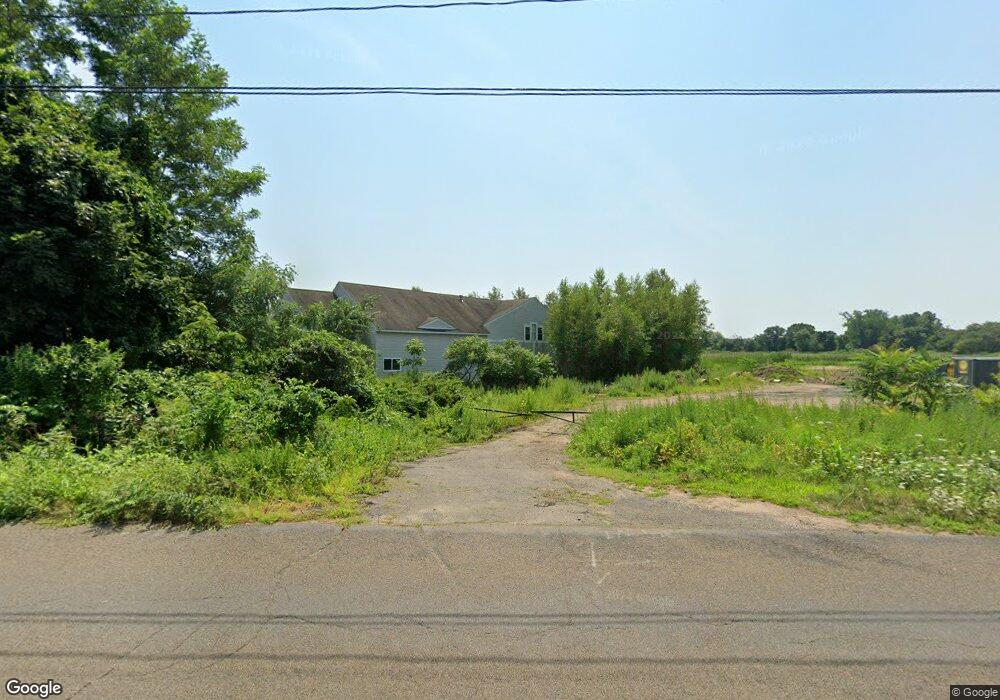
419 New Whitfield St Unit 1 Guilford, CT 06437
Estimated Value: $1,553,358
--
Bed
--
Bath
--
Sq Ft
2.29
Acres
About This Home
This home is located at 419 New Whitfield St Unit 1, Guilford, CT 06437 and is currently estimated at $1,553,358. 419 New Whitfield St Unit 1 is a home located in New Haven County with nearby schools including E.C. Adams Middle School, A. Baldwin Middle School, and Guilford High School.
Ownership History
Date
Name
Owned For
Owner Type
Purchase Details
Closed on
Oct 25, 2021
Sold by
Sunset Creek Dev Llc
Bought by
Emc Storage Llc
Current Estimated Value
Home Financials for this Owner
Home Financials are based on the most recent Mortgage that was taken out on this home.
Original Mortgage
$700,000
Outstanding Balance
$638,335
Interest Rate
2.8%
Mortgage Type
Purchase Money Mortgage
Estimated Equity
$915,023
Purchase Details
Closed on
Aug 19, 2004
Sold by
Ansted John S
Bought by
Sunset Creek Dev
Purchase Details
Closed on
Dec 11, 1989
Sold by
Benzoline Energy Co
Bought by
Ansted John S
Home Financials for this Owner
Home Financials are based on the most recent Mortgage that was taken out on this home.
Original Mortgage
$172,500
Interest Rate
9.72%
Mortgage Type
Commercial
Create a Home Valuation Report for This Property
The Home Valuation Report is an in-depth analysis detailing your home's value as well as a comparison with similar homes in the area
Home Values in the Area
Average Home Value in this Area
Purchase History
| Date | Buyer | Sale Price | Title Company |
|---|---|---|---|
| Emc Storage Llc | $1,135,000 | None Available | |
| Emc Storage Llc | $1,135,000 | None Available | |
| Sunset Creek Dev | $330,000 | -- | |
| Sunset Creek Dev | $330,000 | -- | |
| Ansted John S | $230,000 | -- |
Source: Public Records
Mortgage History
| Date | Status | Borrower | Loan Amount |
|---|---|---|---|
| Open | Emc Storage Llc | $700,000 | |
| Closed | Emc Storage Llc | $700,000 | |
| Previous Owner | Ansted John S | $550,000 | |
| Previous Owner | Ansted John S | $172,500 |
Source: Public Records
Tax History Compared to Growth
Tax History
| Year | Tax Paid | Tax Assessment Tax Assessment Total Assessment is a certain percentage of the fair market value that is determined by local assessors to be the total taxable value of land and additions on the property. | Land | Improvement |
|---|---|---|---|---|
| 2025 | $22,643 | $818,930 | $213,570 | $605,360 |
| 2024 | $21,767 | $818,930 | $213,570 | $605,360 |
| 2023 | $21,194 | $818,930 | $213,570 | $605,360 |
| 2022 | $28,512 | $857,510 | $183,630 | $673,880 |
| 2021 | $27,972 | $857,510 | $183,630 | $673,880 |
| 2020 | $27,706 | $857,510 | $183,630 | $673,880 |
| 2019 | $27,466 | $857,510 | $183,630 | $673,880 |
| 2018 | $26,823 | $857,510 | $183,630 | $673,880 |
| 2017 | $17,196 | $585,690 | $183,620 | $402,070 |
| 2016 | $16,792 | $585,690 | $183,620 | $402,070 |
| 2015 | $16,540 | $585,690 | $183,620 | $402,070 |
| 2014 | $16,060 | $585,690 | $183,620 | $402,070 |
Source: Public Records
Map
Nearby Homes
- 379 Whitfield St Unit CN946
- 52 Seaside Ave
- 505 Old Whitfield St
- 12 Paddock Ln
- 174 Whitfield St
- 66 High St Unit 17
- 66 High St Unit 40
- 66 High St Unit 38
- 66 High St Unit 36
- 64 Boston St
- 65 Water St
- 51 Pearl St
- 134 Water St
- 201 Mulberry Point Rd
- 104 Sperry Dr
- 82 State St
- 29 Circle Beach Rd
- 42 Horseshoe Rd
- 1054 Boston Post Rd
- 140 Wildrose Ave
- 419 New Whitfield St
- 419 New Whitfield St
- 405 Whitfield St Unit 4
- 405 Whitfield St
- 405 Whitfield St Unit 11
- 405 Whitfield St Unit 10
- 405 Whitfield St Unit 9
- 405 Whitfield St Unit 8
- 405 Whitfield St Unit 7
- 405 Whitfield St Unit 6
- 405 Whitfield St Unit 5
- 405 Whitfield St Unit 2
- 405 Whitfield St Unit 4
- 421 New Whitfield St
- 421 New Whitfield St
- 399 Old Whitfield St
- 387 Old Whitfield St
- 405 Old Whitfield St
- 423 New Whitfield St
- 379 Old Whitfield St