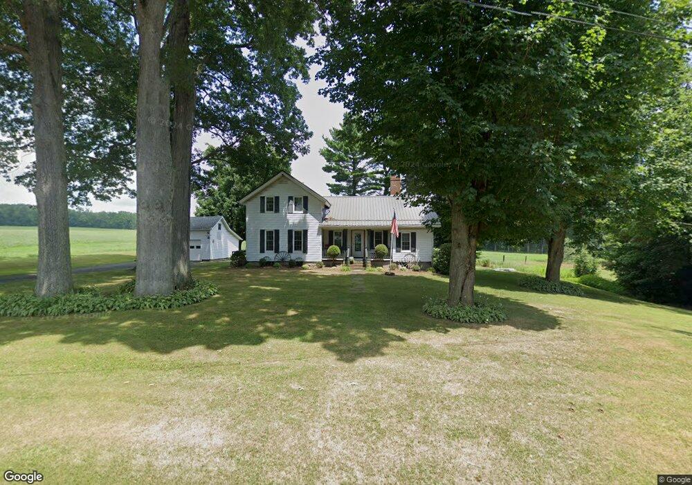
419 Rutledge Rd Greenville, PA 16125
Estimated Value: $172,375 - $205,000
--
Bed
--
Bath
--
Sq Ft
9,104
Sq Ft Lot
About This Home
This home is located at 419 Rutledge Rd, Greenville, PA 16125 and is currently estimated at $187,094. 419 Rutledge Rd is a home located in Mercer County with nearby schools including Sharpsville Area Elementary School, Sharpsville Area Middle School, and Sharpsville Area Senior High School.
Ownership History
Date
Name
Owned For
Owner Type
Purchase Details
Closed on
Mar 31, 2021
Sold by
Martin Thomas D and Martin Melanie A
Bought by
Carter Wanda L
Current Estimated Value
Purchase Details
Closed on
Feb 28, 2020
Sold by
Kardasz Michelle and Heazlett Karen
Bought by
Martin Thomas D and Martin Randall H
Purchase Details
Closed on
Oct 10, 2012
Sold by
Kloos Kathleen M and Kardasz Michelle
Bought by
Kardasz Michelle and Heazlett Karen
Create a Home Valuation Report for This Property
The Home Valuation Report is an in-depth analysis detailing your home's value as well as a comparison with similar homes in the area
Home Values in the Area
Average Home Value in this Area
Purchase History
| Date | Buyer | Sale Price | Title Company |
|---|---|---|---|
| Carter Wanda L | $149,000 | None Available | |
| Martin Thomas D | $23,900 | None Available | |
| Kardasz Michelle | -- | None Available |
Source: Public Records
Tax History Compared to Growth
Tax History
| Year | Tax Paid | Tax Assessment Tax Assessment Total Assessment is a certain percentage of the fair market value that is determined by local assessors to be the total taxable value of land and additions on the property. | Land | Improvement |
|---|---|---|---|---|
| 2025 | $1,777 | $15,600 | $2,100 | $13,500 |
| 2024 | $1,777 | $15,600 | $2,100 | $13,500 |
| 2023 | $1,777 | $15,600 | $2,100 | $13,500 |
| 2022 | $1,753 | $15,600 | $2,100 | $13,500 |
| 2021 | $1,753 | $15,600 | $2,100 | $13,500 |
| 2020 | $1,753 | $15,600 | $2,100 | $13,500 |
| 2019 | $1,578 | $15,600 | $2,100 | $13,500 |
| 2018 | $1,730 | $15,600 | $2,100 | $13,500 |
| 2017 | $1,738 | $15,600 | $2,100 | $13,500 |
| 2016 | -- | $15,600 | $2,100 | $13,500 |
| 2015 | -- | $15,600 | $2,100 | $13,500 |
| 2014 | -- | $15,600 | $2,100 | $13,500 |
Source: Public Records
Map
Nearby Homes
- 7529 State Line
- 69 S Summit Rd Unit 513
- 69 S Summit Rd Unit 205
- 73 S Summit Rd Unit 510
- 69 S Summit Unit 102
- 2789 Rutledge Rd
- 2897 Rutledge Rd
- 716 Rutledge Rd
- 6640 Saranac Dr
- 4016 State Route 7
- 5329 Tamarack Dr
- 209 N State Line Rd
- 119 N Summit Rd
- 6521 State Route 7
- 520 S Maysville Rd
- 3164 Ohio 7
- 6261 State Route 88
- 6027 Ohio 88
- 8230 Drake Stateline Rd NE
- 4076 Seneca Rd
- 419 Rutledge Rd
- 419 Rutledge Rd
- 419 Rutledge Rd
- 432 Rutledge Rd
- 567 Rutledge Rd
- 650 Rutledge Rd
- 86 N State Line Rd
- 155 S State Line Rd
- 155 Rutledge Rd
- 28 Rutledge Rd
- 5 Rutledge Rd
- 891 Rutledge Rd
- 3 Rutledge Rd
- 167 S State Line Rd
- 156 S State Line Rd
- 7218 Brockway Sharon Rd
- 7220 Brockway Sharon Rd
- 8199 Rutledge Transfer Rd NE
- 141 S State Line Rd
- 1061 Rutledge Rd