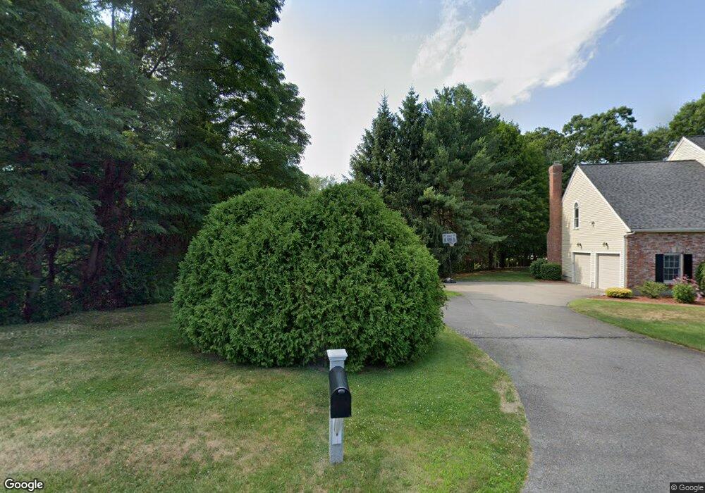
42 Algonquian Dr Natick, MA 01760
Estimated Value: $1,532,000 - $1,842,000
4
Beds
3
Baths
3,225
Sq Ft
$528/Sq Ft
Est. Value
About This Home
This home is located at 42 Algonquian Dr, Natick, MA 01760 and is currently estimated at $1,703,622, approximately $528 per square foot. 42 Algonquian Dr is a home located in Middlesex County with nearby schools including Natick High School, Lilja Elementary School, and Wilson Middle School.
Ownership History
Date
Name
Owned For
Owner Type
Purchase Details
Closed on
Mar 30, 2007
Sold by
Hurd Jason H
Bought by
Mohammadi Ferdows and Movaghar Reza
Current Estimated Value
Home Financials for this Owner
Home Financials are based on the most recent Mortgage that was taken out on this home.
Original Mortgage
$500,000
Outstanding Balance
$302,299
Interest Rate
6.33%
Mortgage Type
Purchase Money Mortgage
Estimated Equity
$1,401,323
Purchase Details
Closed on
Apr 1, 2002
Sold by
Neer N Frank and Neer Judith Y
Bought by
Hurd Jason and Marshall Mallika
Home Financials for this Owner
Home Financials are based on the most recent Mortgage that was taken out on this home.
Original Mortgage
$644,000
Interest Rate
6.88%
Mortgage Type
Purchase Money Mortgage
Purchase Details
Closed on
Jun 30, 1995
Sold by
Eliot Hill T
Bought by
Neer N Frank and Neer Judith Y
Create a Home Valuation Report for This Property
The Home Valuation Report is an in-depth analysis detailing your home's value as well as a comparison with similar homes in the area
Home Values in the Area
Average Home Value in this Area
Purchase History
| Date | Buyer | Sale Price | Title Company |
|---|---|---|---|
| Mohammadi Ferdows | $880,000 | -- | |
| Hurd Jason | $805,000 | -- | |
| Neer N Frank | $430,000 | -- |
Source: Public Records
Mortgage History
| Date | Status | Borrower | Loan Amount |
|---|---|---|---|
| Open | Mohammadi Ferdows | $500,000 | |
| Previous Owner | Hurd Jason | $644,000 | |
| Previous Owner | Neer N Frank | $128,600 | |
| Previous Owner | Neer N Frank | $60,000 | |
| Previous Owner | Neer N Frank | $372,950 |
Source: Public Records
Tax History Compared to Growth
Tax History
| Year | Tax Paid | Tax Assessment Tax Assessment Total Assessment is a certain percentage of the fair market value that is determined by local assessors to be the total taxable value of land and additions on the property. | Land | Improvement |
|---|---|---|---|---|
| 2025 | $16,980 | $1,419,700 | $524,500 | $895,200 |
| 2024 | $16,425 | $1,339,700 | $496,800 | $842,900 |
| 2023 | $15,037 | $1,189,600 | $459,300 | $730,300 |
| 2022 | $14,758 | $1,106,300 | $411,600 | $694,700 |
| 2021 | $8,877 | $1,054,500 | $406,200 | $648,300 |
| 2020 | $5,642 | $1,038,200 | $389,900 | $648,300 |
| 2019 | $13,196 | $1,038,200 | $389,900 | $648,300 |
| 2018 | $7,929 | $982,700 | $376,400 | $606,300 |
| 2017 | $13,077 | $969,400 | $373,900 | $595,500 |
| 2016 | $11,866 | $874,400 | $373,900 | $500,500 |
| 2015 | $11,435 | $827,400 | $373,900 | $453,500 |
Source: Public Records
Map
Nearby Homes
- 15 Penobscot Rd
- 18 University Dr
- 191 E Central St
- 31 Marion St
- 9 Arbor Cir
- 20 Marion St
- 192 Pond Rd
- 5 Oakridge Ave
- 67 E Central St & 5 Union St
- 200 Pond Rd
- 3 Vale St Unit B
- 62 E Central St Unit 305
- 10 Sundance Way
- 3 Wilson St Unit 3B
- 5 Wilson St Unit 5A
- 11 Avon St
- 6B Lincoln St Unit 6B
- 4B Lincoln St Unit 4B
- 25 Sawin St
- 3 Bacon St
- 44 Algonquian Dr
- 40 Algonquian Dr
- 102 Woronoco Lt 102
- 101 Woronoco Lt 101
- 30 Strawberry Hill Rd Unit R
- 32 Strawberry Hill Rd
- 38 Algonquian Dr
- 49 Algonquian Dr
- 47 Algonquian Dr
- 36 Algonquian Dr
- 34 Strawberry Hill Rd
- 28 Strawberry Hill Rd
- 51 Algonquian Dr
- 36 Strawberry Hill Rd
- 23 Strawberry Hill Rd
- 45 Algonquian Dr
- 34 Algonquian Dr
- 25 Strawberry Hill Rd
- 46 Algonquian Dr
- 16 Retrop Rd