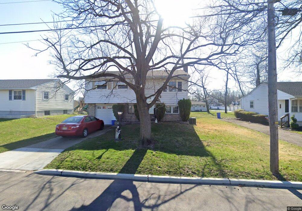
42 Linden Ave Mount Ephraim, NJ 08059
Estimated Value: $323,000 - $354,000
--
Bed
--
Bath
1,502
Sq Ft
$226/Sq Ft
Est. Value
About This Home
This home is located at 42 Linden Ave, Mount Ephraim, NJ 08059 and is currently estimated at $339,240, approximately $225 per square foot. 42 Linden Ave is a home located in Camden County with nearby schools including Mary Bray Elementary School and Raymond W. Kershaw Elementary School.
Ownership History
Date
Name
Owned For
Owner Type
Purchase Details
Closed on
Jul 13, 2001
Sold by
Lester James
Bought by
Morrison Kirk M
Current Estimated Value
Home Financials for this Owner
Home Financials are based on the most recent Mortgage that was taken out on this home.
Original Mortgage
$93,000
Interest Rate
6.66%
Purchase Details
Closed on
Apr 27, 2000
Sold by
Thomas Robert C
Bought by
Lester James
Home Financials for this Owner
Home Financials are based on the most recent Mortgage that was taken out on this home.
Original Mortgage
$87,200
Interest Rate
8.19%
Purchase Details
Closed on
Aug 29, 1997
Sold by
Jones E Lorraine
Bought by
Thomas Robert C and Kelly Jennifer D
Home Financials for this Owner
Home Financials are based on the most recent Mortgage that was taken out on this home.
Original Mortgage
$91,000
Interest Rate
7.47%
Mortgage Type
FHA
Create a Home Valuation Report for This Property
The Home Valuation Report is an in-depth analysis detailing your home's value as well as a comparison with similar homes in the area
Home Values in the Area
Average Home Value in this Area
Purchase History
| Date | Buyer | Sale Price | Title Company |
|---|---|---|---|
| Morrison Kirk M | $106,000 | -- | |
| Lester James | $109,000 | -- | |
| Thomas Robert C | $91,500 | -- |
Source: Public Records
Mortgage History
| Date | Status | Borrower | Loan Amount |
|---|---|---|---|
| Previous Owner | Morrison Kirk M | $93,000 | |
| Previous Owner | Lester James | $87,200 | |
| Previous Owner | Thomas Robert C | $91,000 |
Source: Public Records
Tax History Compared to Growth
Tax History
| Year | Tax Paid | Tax Assessment Tax Assessment Total Assessment is a certain percentage of the fair market value that is determined by local assessors to be the total taxable value of land and additions on the property. | Land | Improvement |
|---|---|---|---|---|
| 2025 | $7,754 | $148,400 | $37,500 | $110,900 |
| 2024 | $7,652 | $148,400 | $37,500 | $110,900 |
| 2023 | $7,652 | $148,400 | $37,500 | $110,900 |
| 2022 | $7,445 | $148,400 | $37,500 | $110,900 |
| 2021 | $6,923 | $148,400 | $37,500 | $110,900 |
| 2020 | $7,042 | $148,400 | $37,500 | $110,900 |
| 2019 | $6,914 | $148,400 | $37,500 | $110,900 |
| 2018 | $6,853 | $148,400 | $37,500 | $110,900 |
| 2017 | $6,752 | $148,400 | $37,500 | $110,900 |
| 2016 | $6,540 | $148,400 | $37,500 | $110,900 |
| 2015 | $6,314 | $148,400 | $37,500 | $110,900 |
| 2014 | $6,338 | $94,000 | $22,500 | $71,500 |
Source: Public Records
Map
Nearby Homes
- 850 Market St
- 820 Market St
- 143 Baird Ave
- 26 S Oak Ave
- 1425 Chestnut Ave
- 420 Winthrop Ave
- 1417 Chestnut Ave
- 102 Lincoln Ave
- 720 Cedar Ave
- 27 Goldy Dr
- 374 Walnut Ave
- 1038 Alcyon Dr
- 51 Warren Ave
- 501 Dukewood Ave
- 139 Gehrig Ave
- 113 Center Ave
- 21 Cedarwood Ave
- 614 Sydwood Ave
- 40 W Kings Hwy
- 117 6th Ave