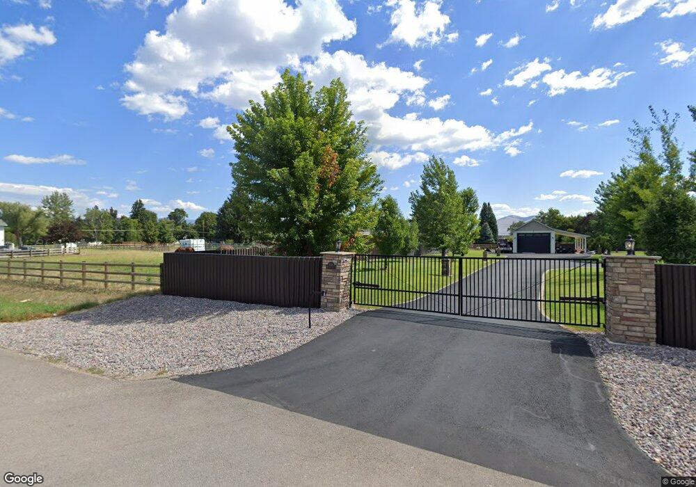
4201 South Ave W Missoula, MT 59804
Estimated Value: $744,498 - $949,000
2
Beds
2
Baths
2,400
Sq Ft
$339/Sq Ft
Est. Value
About This Home
This home is located at 4201 South Ave W, Missoula, MT 59804 and is currently estimated at $814,375, approximately $339 per square foot. 4201 South Ave W is a home located in Missoula County with nearby schools including Target Range School, Big Sky High School, and First Lutheran Classical School.
Ownership History
Date
Name
Owned For
Owner Type
Purchase Details
Closed on
Aug 25, 2021
Sold by
Luikart Gordon H
Bought by
Luikart Shannon Renai
Current Estimated Value
Purchase Details
Closed on
Jul 20, 2005
Sold by
Luikart Shannon
Bought by
Luikart Shannon R and Luikart Gordon H
Home Financials for this Owner
Home Financials are based on the most recent Mortgage that was taken out on this home.
Original Mortgage
$112,000
Interest Rate
5.51%
Mortgage Type
Fannie Mae Freddie Mac
Create a Home Valuation Report for This Property
The Home Valuation Report is an in-depth analysis detailing your home's value as well as a comparison with similar homes in the area
Home Values in the Area
Average Home Value in this Area
Purchase History
| Date | Buyer | Sale Price | Title Company |
|---|---|---|---|
| Luikart Shannon Renai | -- | Post & Lebsock Pllc | |
| Luikart Shannon R | -- | First American Title Company | |
| Luikart Shannon | -- | First American Title Company |
Source: Public Records
Mortgage History
| Date | Status | Borrower | Loan Amount |
|---|---|---|---|
| Previous Owner | Luikart Shannon | $112,000 |
Source: Public Records
Tax History Compared to Growth
Tax History
| Year | Tax Paid | Tax Assessment Tax Assessment Total Assessment is a certain percentage of the fair market value that is determined by local assessors to be the total taxable value of land and additions on the property. | Land | Improvement |
|---|---|---|---|---|
| 2025 | $4,683 | $661,900 | $278,272 | $383,628 |
| 2024 | $4,896 | $470,200 | $245,710 | $224,490 |
| 2023 | $4,510 | $470,200 | $245,710 | $224,490 |
| 2022 | $3,852 | $353,100 | $0 | $0 |
| 2021 | $3,569 | $353,100 | $0 | $0 |
| 2020 | $3,024 | $282,968 | $0 | $0 |
| 2019 | $3,001 | $282,968 | $0 | $0 |
| 2018 | $2,615 | $250,532 | $0 | $0 |
| 2017 | $2,451 | $250,532 | $0 | $0 |
| 2016 | $2,537 | $242,712 | $0 | $0 |
| 2015 | $2,453 | $274,272 | $0 | $0 |
| 2014 | $2,310 | $126,935 | $0 | $0 |
Source: Public Records
Map
Nearby Homes
- 2222 Pauline Dr
- 2275 Ruth Louise Ln
- 4230 North Ave W
- Nhn 40th Ave
- 3101 Humble Rd
- 1522 Clements Rd
- 2201 Rafferty Ln
- 3522 South Ave W
- 3720 Sierra Dr
- 2311 Tower St
- 1211 Kenwood Dr
- 1085 Spurgin Ct
- 296 Big Flat Rd
- NHN Howard St
- 325 Big Flat Rd
- 4474 Blue Mountain Rd
- 4600 Tiberius Dr
- 3820 S 3rd St W
- 4669 Langdon Ct
- 3020 South Ave W
- 4215 South Ave W
- 2455 Gunsight Ct
- 2415 Gunsight Ct
- 2526 Mccauley Ln
- 2526 Mccauley Ln
- 2515 Gunsight Ct
- 2555 Gunsight Ct
- 2316 Pauline Dr
- 2503 Mc Cauley Ln
- na Mc Cauley Ln
- 2541 Mc Cauley Ln
- 4216 South Ave W
- 2417 Mc Cauley Ln
- 4221 South Ave W
- 4180 South Ave W
- 2615 Gunsight Ct
- 2461 Mccauley Ln
- 2625 Mccauley Ln
- 4220 South Ave W
- 4220 Avenue W