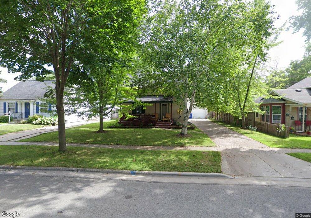
421 Lande St de Pere, WI 54115
Estimated Value: $221,000 - $279,830
3
Beds
2
Baths
1,570
Sq Ft
$164/Sq Ft
Est. Value
About This Home
This home is located at 421 Lande St, de Pere, WI 54115 and is currently estimated at $257,458, approximately $163 per square foot. 421 Lande St is a home located in Brown County with nearby schools including Westwood Elementary School, West De Pere Middle School, and West De Pere High School.
Ownership History
Date
Name
Owned For
Owner Type
Purchase Details
Closed on
Sep 12, 2018
Sold by
Levin Stephen D
Bought by
Meyer Tara L
Current Estimated Value
Home Financials for this Owner
Home Financials are based on the most recent Mortgage that was taken out on this home.
Original Mortgage
$134,900
Outstanding Balance
$117,652
Interest Rate
4.6%
Mortgage Type
New Conventional
Estimated Equity
$139,806
Purchase Details
Closed on
Aug 27, 2010
Sold by
Campbell Todd A and Campbell Julie L
Bought by
Levin Stephen D
Home Financials for this Owner
Home Financials are based on the most recent Mortgage that was taken out on this home.
Original Mortgage
$120,280
Interest Rate
4.75%
Mortgage Type
FHA
Purchase Details
Closed on
Jul 1, 2004
Sold by
Griffiths Ian W and Griffiths Sarah J
Bought by
Campbell Todd A and Campbell Julie L
Purchase Details
Closed on
May 24, 2002
Sold by
Hendricks Mark M and Hendricks Andrea
Bought by
Campbell Todd A and Campbell Julie L
Home Financials for this Owner
Home Financials are based on the most recent Mortgage that was taken out on this home.
Original Mortgage
$98,900
Interest Rate
7.12%
Create a Home Valuation Report for This Property
The Home Valuation Report is an in-depth analysis detailing your home's value as well as a comparison with similar homes in the area
Home Values in the Area
Average Home Value in this Area
Purchase History
| Date | Buyer | Sale Price | Title Company |
|---|---|---|---|
| Meyer Tara L | $142,000 | Knight Barry Title Services | |
| Levin Stephen D | $121,900 | Bay Title | |
| Campbell Todd A | $2,300 | Liberty Title | |
| Campbell Todd A | $102,000 | Liberty Title |
Source: Public Records
Mortgage History
| Date | Status | Borrower | Loan Amount |
|---|---|---|---|
| Open | Meyer Tara L | $134,900 | |
| Previous Owner | Levin Stephen D | $120,280 | |
| Previous Owner | Campbell Todd A | $98,900 |
Source: Public Records
Tax History Compared to Growth
Tax History
| Year | Tax Paid | Tax Assessment Tax Assessment Total Assessment is a certain percentage of the fair market value that is determined by local assessors to be the total taxable value of land and additions on the property. | Land | Improvement |
|---|---|---|---|---|
| 2024 | $5,202 | $239,500 | $33,500 | $206,000 |
| 2023 | $4,763 | $202,500 | $33,500 | $169,000 |
| 2022 | $4,029 | $182,300 | $33,500 | $148,800 |
| 2021 | $3,988 | $163,200 | $27,900 | $135,300 |
| 2020 | $4,512 | $156,600 | $27,900 | $128,700 |
| 2019 | $3,022 | $142,000 | $27,900 | $114,100 |
| 2018 | $2,233 | $115,500 | $27,900 | $87,600 |
| 2017 | $2,112 | $105,400 | $27,900 | $77,500 |
| 2016 | $2,111 | $105,400 | $27,900 | $77,500 |
| 2015 | $2,241 | $103,300 | $28,000 | $75,300 |
| 2014 | $2,180 | $103,300 | $28,000 | $75,300 |
| 2013 | $2,180 | $103,300 | $28,000 | $75,300 |
Source: Public Records
Map
Nearby Homes
- 806 4th St
- 717 4th St
- 634 Grant St
- 978 Saint Anthony Dr Unit 2
- 978 Saint Anthony Dr Unit 980
- 555 Main Ave Unit 110
- 555 Main Ave Unit 104
- 555 Main Ave Unit 111
- 555 Main Ave Unit 206
- 555 Main Ave Unit 113
- 1509 S 7th St
- 657 Reid St
- 1002 Aldrin St
- 830 S Superior St Unit 832
- 235 Autumn Dr
- 1115 Twilight Dr Unit 1117
- 1734 Revere Trail
- 721 Cedar St
- 0 N Stellita Cir Unit 50263856
- 0 N Stellita Cir Unit 50263853