Estimated Value: $503,000 - $712,725
--
Bed
4
Baths
6,265
Sq Ft
$93/Sq Ft
Est. Value
About This Home
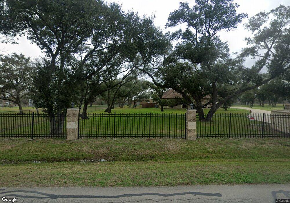
This home is located at 422 County Road 142, Alvin, TX 77511 and is currently estimated at $583,908, approximately $93 per square foot. 422 County Road 142 is a home with nearby schools including G.W. Harby Junior High School, Alvin High School, and Living Stones Christian School.
Ownership History
Date
Name
Owned For
Owner Type
Purchase Details
Closed on
Sep 5, 2013
Sold by
Dewitt W W and Dewitt Georgia S
Bought by
Orduna Serafin and Orduna Clemencia
Current Estimated Value
Purchase Details
Closed on
Apr 12, 1995
Sold by
Ingram Scott G and Ingram Barbara
Bought by
Farson Cynthia C
Home Financials for this Owner
Home Financials are based on the most recent Mortgage that was taken out on this home.
Original Mortgage
$65,000
Interest Rate
8.48%
Create a Home Valuation Report for This Property
The Home Valuation Report is an in-depth analysis detailing your home's value as well as a comparison with similar homes in the area
Home Values in the Area
Average Home Value in this Area
Purchase History
| Date | Buyer | Sale Price | Title Company |
|---|---|---|---|
| Orduna Serafin | -- | Alamo Title Company | |
| Farson Cynthia C | -- | -- |
Source: Public Records
Mortgage History
| Date | Status | Borrower | Loan Amount |
|---|---|---|---|
| Previous Owner | Farson Cynthia C | $65,000 |
Source: Public Records
Tax History Compared to Growth
Tax History
| Year | Tax Paid | Tax Assessment Tax Assessment Total Assessment is a certain percentage of the fair market value that is determined by local assessors to be the total taxable value of land and additions on the property. | Land | Improvement |
|---|---|---|---|---|
| 2025 | $10,649 | $736,120 | $136,000 | $631,710 |
| 2023 | $10,649 | $608,364 | $163,200 | $584,100 |
| 2022 | $11,784 | $553,058 | $142,800 | $469,570 |
| 2021 | $11,157 | $502,780 | $132,600 | $370,180 |
| 2020 | $11,542 | $513,260 | $122,400 | $390,860 |
| 2019 | $12,056 | $520,770 | $102,000 | $418,770 |
| 2018 | $8,149 | $351,090 | $122,400 | $228,690 |
| 2017 | $5,523 | $235,120 | $117,300 | $117,820 |
| 2016 | $4,333 | $184,460 | $72,000 | $112,460 |
| 2015 | $1,420 | $60,000 | $60,000 | $0 |
| 2014 | $1,420 | $60,000 | $60,000 | $0 |
Source: Public Records
Map
Nearby Homes
- 2702 Silver Maple Dr
- 860 Farm To Market Road 517
- 1483 E Highway 6
- 2002 E Highway 6
- 609 County Road 351 Beers
- 3373 E Highway 6
- 3150 E Highway 6
- 3610 E Highway 6
- 1176 Fm 517 Rd
- 1018 Bluegill Ln
- 1021 Bluegill Dr
- 1016 Bluegill Dr
- 1024 Bluegill Ln
- Estero Plan at Watermark
- Franklin Plan at Watermark
- Barton Plan at Watermark
- Davis Plan at Watermark
- Caprock Plan at Watermark
- Atlanta Plan at Watermark
- 1300 Dickinson Rd
- 425 County Road 142
- 433 County Road 142
- 400 County Road 142
- 396 County Road 142
- 5309 Cascade Ct
- 5322 Cascade Ct
- 5323 Cascade Ct
- 5325 Cascade Ct
- 5321 Camerford Ct
- 5316 Cascade Ct
- 5311 Cascade Ct
- 5320 Cascade Ct
- 5325 Camerford Ct
- 5310 Camerford Ct
- 5317 Cascade Ct
- 5305 Camerford Ct
- 5311 Camerford Ct
- 5304 Cascade Ct
- 5308 Cascade Ct
- 5322 Camerford Ct