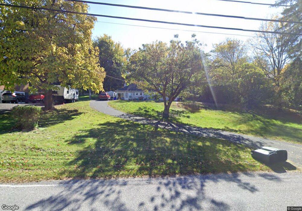
422 Mumper Ln Dillsburg, PA 17019
Estimated Value: $207,303 - $272,000
2
Beds
1
Bath
960
Sq Ft
$248/Sq Ft
Est. Value
About This Home
This home is located at 422 Mumper Ln, Dillsburg, PA 17019 and is currently estimated at $237,826, approximately $247 per square foot. 422 Mumper Ln is a home located in York County with nearby schools including Northern Middle School and Northern High School.
Ownership History
Date
Name
Owned For
Owner Type
Purchase Details
Closed on
Sep 25, 2020
Sold by
Vanauken Gene C
Bought by
Vanauken Gene C and Vanauken Jeanette M
Current Estimated Value
Home Financials for this Owner
Home Financials are based on the most recent Mortgage that was taken out on this home.
Original Mortgage
$125,337
Outstanding Balance
$108,418
Interest Rate
2.9%
Mortgage Type
VA
Estimated Equity
$129,408
Purchase Details
Closed on
Jul 12, 2002
Sold by
Beamer Donald G and Beamer Kenneth W
Bought by
Vanauken Gene C
Home Financials for this Owner
Home Financials are based on the most recent Mortgage that was taken out on this home.
Original Mortgage
$77,484
Interest Rate
6.73%
Mortgage Type
FHA
Create a Home Valuation Report for This Property
The Home Valuation Report is an in-depth analysis detailing your home's value as well as a comparison with similar homes in the area
Home Values in the Area
Average Home Value in this Area
Purchase History
| Date | Buyer | Sale Price | Title Company |
|---|---|---|---|
| Vanauken Gene C | -- | None Available | |
| Vanauken Gene C | $78,700 | -- |
Source: Public Records
Mortgage History
| Date | Status | Borrower | Loan Amount |
|---|---|---|---|
| Open | Vanauken Gene C | $125,337 | |
| Closed | Vanauken Gene C | $77,484 |
Source: Public Records
Tax History Compared to Growth
Tax History
| Year | Tax Paid | Tax Assessment Tax Assessment Total Assessment is a certain percentage of the fair market value that is determined by local assessors to be the total taxable value of land and additions on the property. | Land | Improvement |
|---|---|---|---|---|
| 2025 | $3,224 | $106,610 | $47,040 | $59,570 |
| 2024 | $3,130 | $106,610 | $47,040 | $59,570 |
| 2023 | $3,072 | $106,610 | $47,040 | $59,570 |
| 2022 | $3,012 | $106,610 | $47,040 | $59,570 |
| 2021 | $2,832 | $106,610 | $47,040 | $59,570 |
| 2020 | $2,771 | $106,610 | $47,040 | $59,570 |
| 2019 | $2,708 | $106,610 | $47,040 | $59,570 |
| 2018 | $2,655 | $106,610 | $47,040 | $59,570 |
| 2017 | $2,655 | $106,610 | $47,040 | $59,570 |
| 2016 | $0 | $106,610 | $47,040 | $59,570 |
| 2015 | -- | $106,610 | $47,040 | $59,570 |
| 2014 | -- | $106,610 | $47,040 | $59,570 |
Source: Public Records
Map
Nearby Homes
- 0 Molly Plan at Logan Meadows Unit PAYK2092946
- 0 Blue Ridge Plan at Logan Meadows Unit PAYK2077754
- 0 Abbey Plan at Logan Meadows Unit PAYK2077392
- 0 Beacon Pointe Plan at Logan Meadows Unit PAYK2077894
- 0 Brindlee Plan at Logan Meadows Unit PAYK2077764
- 0 Copper Beech Plan at Logan Meadows Unit PAYK2077756
- 391 Santa Anita Dr
- Molly Plan at Logan Meadows
- Brindlee Plan at Logan Meadows
- Blue Ridge Plan at Logan Meadows
- Georgia Mae Plan at Logan Meadows
- Copper Beech Plan at Logan Meadows
- Abbey Plan at Logan Meadows
- Beacon Pointe Plan at Logan Meadows
- 389 Santa Anita Dr
- 394 Santa Anita Dr
- 104 Travers Dr
- 112 Saratoga
- 109 Saratoga
- 0 Mumper Ln
- 424 Mumper Ln
- 420 Mumper Ln
- 428 Mumper Ln
- 421 Mumper Ln
- 426 Mumper Ln
- 416 Mumper Ln
- 427 Mumper Ln
- 412 Mumper Ln
- 430 Mumper Ln
- 411 Mumper Ln
- 230 Ore Bank Rd
- 410 Mumper Ln
- 431 Mumper Ln
- 210 Ore Bank Rd
- 433 Mumper Ln
- 224 Ore Bank Rd
- 434 Mumper Ln
- 226 & 228 Ore Bank Rd
- 226 & 228 Ore Bank Rd
- 226 Ore Bank Rd