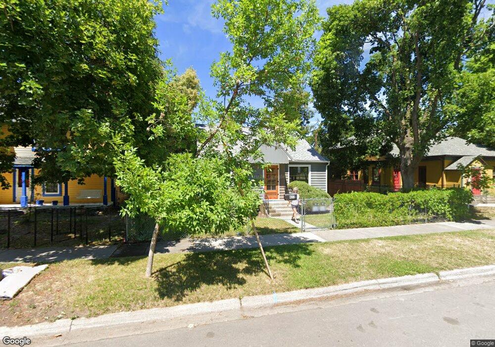
422 S 6th St W Missoula, MT 59801
Riverfront NeighborhoodEstimated Value: $535,456 - $615,000
2
Beds
2
Baths
1,421
Sq Ft
$405/Sq Ft
Est. Value
About This Home
This home is located at 422 S 6th St W, Missoula, MT 59801 and is currently estimated at $575,864, approximately $405 per square foot. 422 S 6th St W is a home located in Missoula County with nearby schools including Paxson School, Washington Middle School, and Hellgate High School.
Ownership History
Date
Name
Owned For
Owner Type
Purchase Details
Closed on
Sep 26, 2006
Sold by
Pontrelli Cindy L
Bought by
Pontrelli Daniel J
Current Estimated Value
Purchase Details
Closed on
May 16, 2003
Sold by
Pontrelli Daniel J and Loesing Cindy L
Bought by
Pontrelli Daniel J and Pontrelli Cindy L
Home Financials for this Owner
Home Financials are based on the most recent Mortgage that was taken out on this home.
Original Mortgage
$98,500
Interest Rate
5.71%
Mortgage Type
Purchase Money Mortgage
Create a Home Valuation Report for This Property
The Home Valuation Report is an in-depth analysis detailing your home's value as well as a comparison with similar homes in the area
Home Values in the Area
Average Home Value in this Area
Purchase History
| Date | Buyer | Sale Price | Title Company |
|---|---|---|---|
| Pontrelli Daniel J | -- | None Available | |
| Pontrelli Daniel J | -- | -- |
Source: Public Records
Mortgage History
| Date | Status | Borrower | Loan Amount |
|---|---|---|---|
| Previous Owner | Pontrelli Daniel J | $98,500 |
Source: Public Records
Tax History Compared to Growth
Tax History
| Year | Tax Paid | Tax Assessment Tax Assessment Total Assessment is a certain percentage of the fair market value that is determined by local assessors to be the total taxable value of land and additions on the property. | Land | Improvement |
|---|---|---|---|---|
| 2025 | $4,670 | $558,100 | $326,755 | $231,345 |
| 2024 | $4,481 | $368,235 | $176,995 | $191,240 |
| 2023 | $4,318 | $368,235 | $176,995 | $191,240 |
| 2022 | $4,491 | $332,500 | $0 | $0 |
| 2021 | $4,039 | $332,500 | $0 | $0 |
| 2020 | $3,663 | $280,100 | $0 | $0 |
| 2019 | $3,651 | $280,100 | $0 | $0 |
| 2018 | $3,736 | $278,700 | $0 | $0 |
| 2017 | $3,340 | $278,700 | $0 | $0 |
| 2016 | $2,992 | $237,000 | $0 | $0 |
| 2015 | $2,766 | $237,000 | $0 | $0 |
| 2014 | $2,549 | $123,013 | $0 | $0 |
Source: Public Records
Map
Nearby Homes
- 520 Hickory St
- 808 Ash St
- 512 S 2nd St W
- 120 S 4th St W Unit 4 and 6
- 722 Oak St
- 125 W Franklin St
- 603 Brooks St
- 225 Eddy Ave
- 300 Connell Ave
- 320 S 6th St E
- 1325 Gerald Ave
- 415 S 6th St E
- 845 Wyoming St Unit C106
- 1216 S 5th St W
- 835 Wyoming St Unit 104
- 455 Mount Ave
- 516 S 5th St E
- 540 S 6th St E
- 542 Eddy Ave
- 601 W Broadway St
- 420 S 6th St W
- 436 S 6th St W
- 442 S 6th St W
- 404 S 6th St W
- 425 S 5th St W
- 435 S 5th St W
- 405 S 5th St W
- 720 Chestnut St
- 800 Chestnut St
- 430 S 5th St W
- 434 S 5th St W
- 635 Chestnut St
- 335 S 5th St W
- 410 S 5th St W
- 808 Chestnut St
- Lot 10 5th St
- 444 S 5th St W
- 816 Chestnut St
- 304 Stephens Ave
- 320 S 6th St W