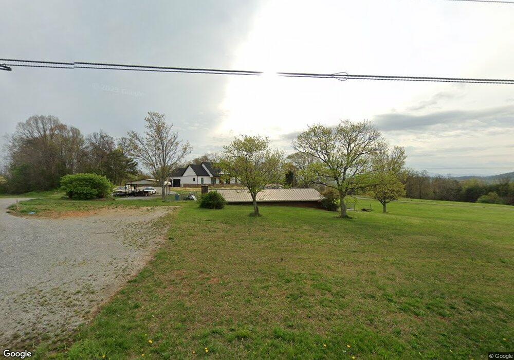
42274 Highway 95 N Lenoir City, TN 37772
Estimated Value: $171,782 - $337,000
--
Bed
1
Bath
968
Sq Ft
$277/Sq Ft
Est. Value
About This Home
This home is located at 42274 Highway 95 N, Lenoir City, TN 37772 and is currently estimated at $267,946, approximately $276 per square foot. 42274 Highway 95 N is a home located in Loudon County with nearby schools including Loudon High School.
Ownership History
Date
Name
Owned For
Owner Type
Purchase Details
Closed on
Aug 10, 2023
Sold by
Carter James Carl and Carter Connie
Bought by
Acuff Stephen Matthew and Acuff Karen
Current Estimated Value
Purchase Details
Closed on
Apr 5, 2002
Sold by
Greenway J E
Bought by
William Collis
Purchase Details
Closed on
Jan 4, 2001
Sold by
Greenway J E
Bought by
Dennis Stewart
Purchase Details
Closed on
Oct 18, 1999
Sold by
James Bacon
Bought by
John Cardwell
Purchase Details
Closed on
Apr 21, 1999
Sold by
Greenway J E
Bought by
James Bacon
Purchase Details
Closed on
Aug 21, 1997
Sold by
Training Adult Comminity
Bought by
Walter Brewer
Purchase Details
Closed on
Jul 29, 1996
Sold by
Greenway J E
Bought by
Training Adult Comminity
Purchase Details
Closed on
Jul 13, 1995
Bought by
James Carter and James Connie
Create a Home Valuation Report for This Property
The Home Valuation Report is an in-depth analysis detailing your home's value as well as a comparison with similar homes in the area
Home Values in the Area
Average Home Value in this Area
Purchase History
| Date | Buyer | Sale Price | Title Company |
|---|---|---|---|
| Acuff Stephen Matthew | -- | Southeastern Title | |
| William Collis | $45,000 | -- | |
| Dennis Stewart | $85,000 | -- | |
| John Cardwell | $90,000 | -- | |
| James Bacon | $43,700 | -- | |
| Walter Brewer | $28,000 | -- | |
| Training Adult Comminity | $76,000 | -- | |
| James Carter | $48,000 | -- |
Source: Public Records
Tax History Compared to Growth
Tax History
| Year | Tax Paid | Tax Assessment Tax Assessment Total Assessment is a certain percentage of the fair market value that is determined by local assessors to be the total taxable value of land and additions on the property. | Land | Improvement |
|---|---|---|---|---|
| 2025 | $575 | $32,525 | $5,600 | $26,925 |
| 2023 | $606 | $39,925 | $0 | $0 |
| 2022 | $606 | $39,925 | $14,800 | $25,125 |
| 2021 | $606 | $39,925 | $14,800 | $25,125 |
| 2020 | $447 | $39,925 | $14,800 | $25,125 |
| 2019 | $447 | $24,800 | $13,225 | $11,575 |
| 2018 | $447 | $24,800 | $13,225 | $11,575 |
| 2017 | $447 | $24,800 | $13,225 | $11,575 |
| 2016 | $464 | $24,950 | $12,925 | $12,025 |
| 2015 | $464 | $24,950 | $12,925 | $12,025 |
| 2014 | $464 | $24,950 | $12,925 | $12,025 |
Source: Public Records
Map
Nearby Homes
- 883 Navigator Dr
- 385 Navigator Dr
- 517 Navigator Dr
- 811 Navigator Dr
- 865 Navigator Dr
- 1755 Friendsville Rd
- 9203 Antioch Church Rd E
- 0 E Antioch Church Road Rd E Unit 1295540
- 0 Keaton Rd
- 0 Donaldson Light Ln Unit 24957010
- 0 Donaldson Light Ln Unit 1295284
- 2423 Perkle Rd
- 0 Highway 321 S Unit 1287238
- 0 Highway 321 S Unit 1295537
- 505 Plantation Way
- 292 Beckets Way
- 516 Beckets Way
- 497 Thompson Rd
- 181 Bulwark Way
- 28290 Highway 95 N
- 42369 Highway 95 N
- 42087 Highway 95 N
- 42504 Highway 95 N
- 42603 Highway 95 N
- 41726 Highway 95 N
- 41700 Highway 95 N
- 41625 Highway 95 N
- 23248 Highway 321 S
- 41420 Highway 95 N
- 41420 Tennessee 95
- 23540 Highway 321 S
- 535 Unitia Rd
- 42796 Highway 95 N
- 987 Unitia Rd
- 185 Unitia Rd
- 41151 Highway 95 N
- 42691 Highway 95 N
- 43181 Highway 95 N
- 789 Unitia Rd
- 489 Unitia Rd