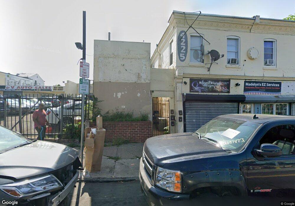
4229 Frankford Ave Philadelphia, PA 19124
Frankford NeighborhoodEstimated Value: $868,597
--
Bed
--
Bath
10,020
Sq Ft
$87/Sq Ft
Est. Value
About This Home
This home is located at 4229 Frankford Ave, Philadelphia, PA 19124 and is currently estimated at $868,597, approximately $86 per square foot. 4229 Frankford Ave is a home located in Philadelphia County with nearby schools including Allen M. Stearne School, Frankford High School, and Mariana Bracetti Academy Cs.
Ownership History
Date
Name
Owned For
Owner Type
Purchase Details
Closed on
Aug 19, 2022
Sold by
Alexander Kerchentsev
Bought by
Empire Properties Group Llc
Current Estimated Value
Home Financials for this Owner
Home Financials are based on the most recent Mortgage that was taken out on this home.
Original Mortgage
$492,000
Outstanding Balance
$244,539
Interest Rate
5.51%
Mortgage Type
Seller Take Back
Estimated Equity
$624,058
Create a Home Valuation Report for This Property
The Home Valuation Report is an in-depth analysis detailing your home's value as well as a comparison with similar homes in the area
Home Values in the Area
Average Home Value in this Area
Purchase History
| Date | Buyer | Sale Price | Title Company |
|---|---|---|---|
| Empire Properties Group Llc | $692,000 | None Listed On Document |
Source: Public Records
Mortgage History
| Date | Status | Borrower | Loan Amount |
|---|---|---|---|
| Open | Empire Properties Group Llc | $492,000 |
Source: Public Records
Tax History Compared to Growth
Tax History
| Year | Tax Paid | Tax Assessment Tax Assessment Total Assessment is a certain percentage of the fair market value that is determined by local assessors to be the total taxable value of land and additions on the property. | Land | Improvement |
|---|---|---|---|---|
| 2026 | $4,527 | $320,600 | $64,120 | $256,480 |
| 2025 | $4,527 | $320,600 | $64,120 | $256,480 |
| 2024 | $4,527 | $320,600 | $64,120 | $256,480 |
| 2023 | $4,527 | $323,400 | $64,670 | $258,730 |
| 2022 | $4,265 | $323,400 | $64,670 | $258,730 |
| 2021 | $4,265 | $0 | $0 | $0 |
| 2020 | $4,265 | $0 | $0 | $0 |
| 2019 | $4,265 | $0 | $0 | $0 |
| 2018 | $4,267 | $0 | $0 | $0 |
| 2017 | $3,872 | $0 | $0 | $0 |
| 2016 | $3,872 | $0 | $0 | $0 |
| 2015 | $3,706 | $0 | $0 | $0 |
| 2014 | -- | $276,600 | $69,600 | $207,000 |
Source: Public Records
Map
Nearby Homes
- 4184 Paul St
- 4147 Paul St
- 4034 80 Orchard St
- 4134-36 Orchard St
- 4270 Paul St
- 4229 Romain St
- 4123 Orchard St
- 4267 Paul St
- 4255-57 Orchard St
- 4283 Frankford Ave
- 4229 Griscom St
- 1519 Womrath St
- 1507 Adams Ave
- 1512 Adams Ave
- 1501 Womrath St
- 1818 Church St
- 1417 Deal St
- 1419 Deal St
- 1923 Berkshire St
- 4347 Paul St
- 4235 39 Frankford Ave
- 4233 Frankford Ave
- 4223-25 Frankford Ave
- 4223 Frankford Ave
- 4242 Salem St
- 4226 Salem St
- 4231 Frankford Ave
- 4224 Salem St
- 4231 Salem St
- 4237 Salem St
- 4227 Salem St
- 4243 Salem St Unit 1
- 4243 Salem St
- 4233 Salem St
- 4235 Salem St
- 4239 Salem St
- 4229 Salem St
- 4241 Salem St
- 4225 Salem St
- 4245 Salem St