423 Red Coat Ln Woodstock, GA 30188
Estimated Value: $268,646 - $304,000
2
Beds
2
Baths
1,120
Sq Ft
$251/Sq Ft
Est. Value
About This Home
This home is located at 423 Red Coat Ln, Woodstock, GA 30188 and is currently estimated at $280,912, approximately $250 per square foot. 423 Red Coat Ln is a home located in Cherokee County with nearby schools including Johnston Elementary School, Mill Creek Middle School, and River Ridge High School.
Ownership History
Date
Name
Owned For
Owner Type
Purchase Details
Closed on
Apr 7, 2010
Sold by
Hud-Housing Of Urban Dev
Bought by
Wilson Elliott N
Current Estimated Value
Home Financials for this Owner
Home Financials are based on the most recent Mortgage that was taken out on this home.
Original Mortgage
$85,551
Outstanding Balance
$58,373
Interest Rate
5.5%
Mortgage Type
FHA
Estimated Equity
$222,539
Purchase Details
Closed on
Jun 2, 2009
Sold by
Everbank
Bought by
Hud-Housing Of Urban Dev
Purchase Details
Closed on
Nov 20, 2003
Sold by
Mcbridge & Son Homes
Bought by
Swiney Gordon M and Swiney Willon
Home Financials for this Owner
Home Financials are based on the most recent Mortgage that was taken out on this home.
Original Mortgage
$116,078
Interest Rate
5.93%
Create a Home Valuation Report for This Property
The Home Valuation Report is an in-depth analysis detailing your home's value as well as a comparison with similar homes in the area
Home Values in the Area
Average Home Value in this Area
Purchase History
| Date | Buyer | Sale Price | Title Company |
|---|---|---|---|
| Wilson Elliott N | -- | -- | |
| Hud-Housing Of Urban Dev | -- | -- | |
| Everbank | $117,272 | -- | |
| Swiney Gordon M | $117,900 | -- |
Source: Public Records
Mortgage History
| Date | Status | Borrower | Loan Amount |
|---|---|---|---|
| Open | Wilson Elliott N | $85,551 | |
| Previous Owner | Swiney Gordon M | $116,078 |
Source: Public Records
Tax History Compared to Growth
Tax History
| Year | Tax Paid | Tax Assessment Tax Assessment Total Assessment is a certain percentage of the fair market value that is determined by local assessors to be the total taxable value of land and additions on the property. | Land | Improvement |
|---|---|---|---|---|
| 2024 | $3,091 | $103,628 | $22,000 | $81,628 |
| 2023 | $3,065 | $100,760 | $22,000 | $78,760 |
| 2022 | $2,502 | $81,452 | $18,400 | $63,052 |
| 2021 | $1,732 | $69,024 | $15,600 | $53,424 |
| 2020 | $1,941 | $57,676 | $13,800 | $43,876 |
| 2019 | $1,357 | $53,960 | $12,400 | $41,560 |
| 2018 | $1,709 | $49,840 | $11,600 | $38,240 |
| 2017 | $1,522 | $113,000 | $10,000 | $35,200 |
| 2016 | $1,071 | $104,000 | $9,200 | $32,400 |
| 2015 | $958 | $92,200 | $6,800 | $30,080 |
| 2014 | $829 | $79,600 | $6,800 | $25,040 |
Source: Public Records
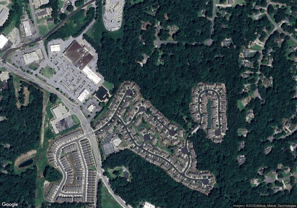
Map
Nearby Homes
- 531 Fox Creek Crossing
- 5541 Old Highway 5
- 501 Ruths Dr
- 306 Serenity Way
- 414 Ruths Blvd
- 505 Lost Creek Dr
- 224 Stone Park Dr
- 364 Aldene Ct
- 614 Springharbor Dr
- 252 Stone Park Dr
- 145 Archie Way
- 149 Archie Way
- 145 Springwater Trace
- 161 Stoney Creek Pkwy
- 414 New Park Dr
- 151 Springwater Trace
- 214 Valley Brook Dr
- 421 Red Coat Ln
- 421 Red Coat Ln Unit 421
- 425 Red Coat Ln
- 419 Red Coat Ln
- 427 Red Coat Ln
- 427 Red Coat Ln Unit 427
- 429 Red Coat Ln
- 429 Red Coat Ln Unit A
- 429 Red Coat Ln Unit B
- 0 Red Coat Ln Unit 7143010
- 0 Red Coat Ln Unit 7134907
- 0 Red Coat Ln Unit 3217944
- 0 Red Coat Ln Unit 8514374
- 0 Red Coat Ln Unit 8507051
- 0 Red Coat Ln Unit 8364026
- 0 Red Coat Ln Unit 8224996
- 0 Red Coat Ln Unit 8114124
- 0 Red Coat Ln Unit 8047598
- 0 Red Coat Ln Unit 7626115
- 0 Red Coat Ln Unit 7554484