Estimated Value: $373,000 - $540,000
3
Beds
1
Bath
1,230
Sq Ft
$352/Sq Ft
Est. Value
About This Home
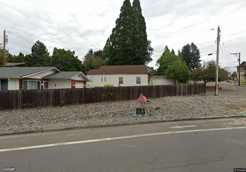
This home is located at 42363 NW Banks Rd, Banks, OR 97106 and is currently estimated at $433,443, approximately $352 per square foot. 42363 NW Banks Rd is a home located in Washington County with nearby schools including Banks Elementary School, Banks Middle School, and Banks High School.
Ownership History
Date
Name
Owned For
Owner Type
Purchase Details
Closed on
Oct 15, 2001
Sold by
Husseini Kevin
Bought by
Biehl Brian
Current Estimated Value
Purchase Details
Closed on
Mar 28, 1996
Sold by
Mccardell Aaron D L and Mccardell Janice L
Bought by
Husseini Kevin
Home Financials for this Owner
Home Financials are based on the most recent Mortgage that was taken out on this home.
Original Mortgage
$99,438
Interest Rate
6.98%
Mortgage Type
FHA
Create a Home Valuation Report for This Property
The Home Valuation Report is an in-depth analysis detailing your home's value as well as a comparison with similar homes in the area
Home Values in the Area
Average Home Value in this Area
Purchase History
| Date | Buyer | Sale Price | Title Company |
|---|---|---|---|
| Biehl Brian | $120,000 | Transnation Title Insurance | |
| Husseini Kevin | $99,950 | Fidelity National Title Co |
Source: Public Records
Mortgage History
| Date | Status | Borrower | Loan Amount |
|---|---|---|---|
| Previous Owner | Husseini Kevin | $99,438 |
Source: Public Records
Tax History Compared to Growth
Tax History
| Year | Tax Paid | Tax Assessment Tax Assessment Total Assessment is a certain percentage of the fair market value that is determined by local assessors to be the total taxable value of land and additions on the property. | Land | Improvement |
|---|---|---|---|---|
| 2025 | $2,878 | $156,660 | -- | -- |
| 2024 | $2,616 | $152,100 | -- | -- |
| 2023 | $2,616 | $147,670 | $0 | $0 |
| 2022 | $2,547 | $147,670 | $0 | $0 |
| 2021 | $2,457 | $139,200 | $0 | $0 |
| 2020 | $2,384 | $135,150 | $0 | $0 |
| 2019 | $2,289 | $131,220 | $0 | $0 |
| 2018 | $2,227 | $127,400 | $0 | $0 |
| 2017 | $2,133 | $123,690 | $0 | $0 |
| 2016 | $2,099 | $120,090 | $0 | $0 |
| 2015 | $2,018 | $116,600 | $0 | $0 |
| 2014 | $1,989 | $113,210 | $0 | $0 |
Source: Public Records
Map
Nearby Homes
- 42371 NW Banks Rd
- 0 NW Sellers Rd
- 43300 NW Cedar Canyon Rd
- 12874 NW Maplecrest Way
- 12838 NW Maplecrest Way
- 12734 NW Hammond Place
- 42015 NW Buckshire St
- 41710 NW Oak Way
- 41637 NW Buckshire St
- 41753 NW Buckshire St
- 42098 NW Broadshire Ln
- 0 NW Lodge Rd
- 0 NW Green Mountain Rd Unit 1 23320324
- 0 NW Green Mountain Rd Unit 24253646
- 48025 NW Strohmayer Rd
- 18282 NW Hilltop Place
- 46345 NW Strohmayer Rd
- 21076 NW Green Mountain Rd
- 20270 NW Pihl Rd
- 22001 NW Sellers Rd
- 42395 NW Banks Rd
- 42345 NW Banks Rd
- 42349 NW Banks Rd
- 42315 NW Banks Rd
- 42425 NW Banks Rd Unit 1
- 42400 NW Banks Rd
- 42355 NW Banks Rd
- 42379 NW Banks Rd
- 42387 NW Banks Rd
- 42350 NW Banks Rd
- 42380 NW Banks Rd
- 42271 NW Banks Rd
- 42280 NW Banks Rd
- 42255 NW Banks Rd
- 352 NW Main St
- 0 Banks Rd Unit 8000501
- 0 Banks Rd Unit 8018426
- 0 Banks Rd Unit 14662991
- 0 Banks Rd Unit 14465502
- 0 Banks Rd Unit 18558563