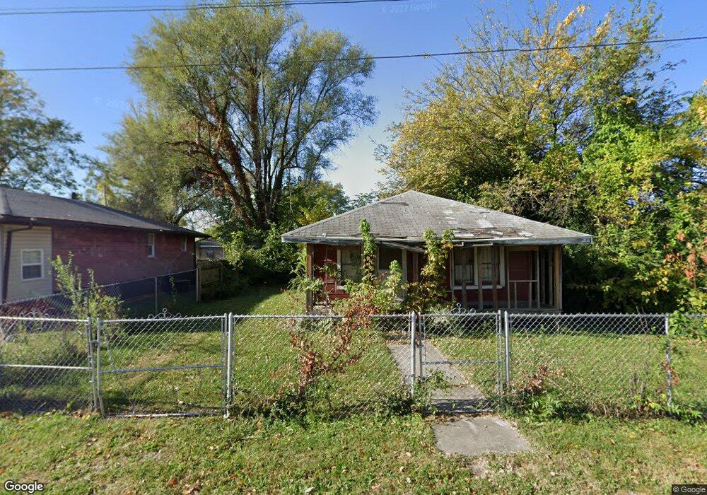
4237 Rear Tudor Ave East Saint Louis, IL 62207
Estimated Value: $33,000 - $112,000
--
Bed
--
Bath
770
Sq Ft
$76/Sq Ft
Est. Value
About This Home
This home is located at 4237 Rear Tudor Ave, East Saint Louis, IL 62207 and is currently estimated at $58,247, approximately $75 per square foot. 4237 Rear Tudor Ave is a home located in St. Clair County with nearby schools including Annette Officer Elementary, East St Louis-Lincoln Middle School, and East St Louis Senior High School.
Ownership History
Date
Name
Owned For
Owner Type
Purchase Details
Closed on
Oct 22, 2020
Sold by
St Clair County
Bought by
Topstone Inv Cah 1 Llc
Current Estimated Value
Purchase Details
Closed on
Aug 28, 2019
Sold by
Reed Aza
Bought by
St Clair County and Trust No 02 32 0 106 095
Purchase Details
Closed on
Dec 27, 2012
Sold by
Mccottrell Catherine and Mccottrell Erik D
Bought by
Reed Aza L
Purchase Details
Closed on
Mar 2, 2010
Sold by
Mccottrell Catherine and Mccottrell Roderick
Bought by
Mccottrell Catherne and Mccottrell Roderick
Create a Home Valuation Report for This Property
The Home Valuation Report is an in-depth analysis detailing your home's value as well as a comparison with similar homes in the area
Home Values in the Area
Average Home Value in this Area
Purchase History
| Date | Buyer | Sale Price | Title Company |
|---|---|---|---|
| Topstone Inv Cah 1 Llc | -- | None Available | |
| St Clair County | -- | Attorney | |
| Reed Aza L | -- | None Available | |
| Mccottrell Catherne | -- | None Available |
Source: Public Records
Tax History Compared to Growth
Tax History
| Year | Tax Paid | Tax Assessment Tax Assessment Total Assessment is a certain percentage of the fair market value that is determined by local assessors to be the total taxable value of land and additions on the property. | Land | Improvement |
|---|---|---|---|---|
| 2024 | $711 | $4,437 | $528 | $3,909 |
| 2023 | $659 | $4,010 | $477 | $3,533 |
| 2022 | $615 | $3,514 | $418 | $3,096 |
| 2021 | $613 | $3,330 | $396 | $2,934 |
| 2020 | $0 | $98 | $49 | $49 |
| 2019 | $0 | $98 | $49 | $49 |
| 2018 | $848 | $4,369 | $421 | $3,948 |
| 2017 | $834 | $4,264 | $411 | $3,853 |
| 2016 | $868 | $4,248 | $409 | $3,839 |
| 2014 | -- | $4,202 | $405 | $3,797 |
| 2013 | -- | $3,942 | $380 | $3,562 |
Source: Public Records
Map
Nearby Homes
- 6330 Church Rd
- 1927 Bond Ave
- 604 West Ave
- 5413 Nelson Ave
- 3325 Bond Ave
- 3300 Mccasland Ave
- 2953 Virginia Place
- 2626 Missouri Ave
- 2372 Lorraine Dr
- 3125 Louisiana Blvd
- 1997 Oak Tree Ln
- 351 N 26th St
- 2274 Carol St
- 1415 S J St
- 2416 Lorraine Dr
- 2014 Florence St
- 2201 Gaty Ave
- 1924 Bond Ave
- 1902 Baker Ave
- 472 N 25th St
- 4236 Tudor Ave
- 4241 Tudor Ave
- 4251 Baker Ave
- 4232 Tudor Ave
- 4257 Baker Ave
- 4246 Tudor Ave
- 4238 Tudor Ave
- 4265 Baker Ave
- 4265 Baker Ave
- 4230 Tudor Ave
- 4286 Baker Ave
- 4290 Baker Ave
- 4253 Tudor Ave
- 4235 Tudor Ave
- 609 S 43rd St
- 1007 S 43rd St
- 4229 Baker Ave
- 4231 Tudor Ave
- 4240 Baker Ave
- 4270 Piggott Ave