Estimated Value: $341,000 - $371,193
3
Beds
1
Bath
1,744
Sq Ft
$206/Sq Ft
Est. Value
About This Home
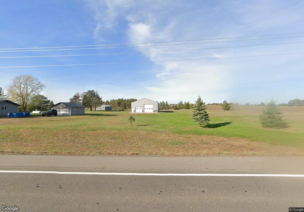
This home is located at 4239 125th St NW, Rice, MN 56367 and is currently estimated at $359,398, approximately $206 per square foot. 4239 125th St NW is a home located in Benton County with nearby schools including Rice Elementary School, Sauk Rapids-Rice Middle School, and Sauk Rapids-Rice Senior High School.
Ownership History
Date
Name
Owned For
Owner Type
Purchase Details
Closed on
Jun 29, 2007
Sold by
Thell Timothy J and Thell Renee C
Bought by
Deutsch Mark J
Current Estimated Value
Home Financials for this Owner
Home Financials are based on the most recent Mortgage that was taken out on this home.
Original Mortgage
$198,171
Outstanding Balance
$121,851
Interest Rate
6.37%
Mortgage Type
VA
Estimated Equity
$237,547
Create a Home Valuation Report for This Property
The Home Valuation Report is an in-depth analysis detailing your home's value as well as a comparison with similar homes in the area
Home Values in the Area
Average Home Value in this Area
Purchase History
| Date | Buyer | Sale Price | Title Company |
|---|---|---|---|
| Deutsch Mark J | $200,000 | -- |
Source: Public Records
Mortgage History
| Date | Status | Borrower | Loan Amount |
|---|---|---|---|
| Open | Deutsch Mark J | $198,171 |
Source: Public Records
Tax History Compared to Growth
Tax History
| Year | Tax Paid | Tax Assessment Tax Assessment Total Assessment is a certain percentage of the fair market value that is determined by local assessors to be the total taxable value of land and additions on the property. | Land | Improvement |
|---|---|---|---|---|
| 2025 | $3,518 | $330,100 | $60,600 | $269,500 |
| 2024 | $2,928 | $320,000 | $60,500 | $259,500 |
| 2023 | $2,574 | $276,600 | $60,500 | $216,100 |
| 2022 | $2,482 | $229,000 | $55,200 | $173,800 |
| 2021 | $2,398 | $201,500 | $52,600 | $148,900 |
| 2018 | $2,232 | $156,100 | $44,437 | $111,663 |
| 2017 | $2,232 | $147,700 | $43,953 | $103,747 |
| 2016 | $2,210 | $167,800 | $50,500 | $117,300 |
| 2015 | $2,244 | $137,800 | $43,331 | $94,469 |
| 2014 | -- | $132,700 | $42,985 | $89,715 |
| 2013 | -- | $131,100 | $42,879 | $88,221 |
Source: Public Records
Map
Nearby Homes
- 43107 County Road 1
- 7754 County Road 17
- 504 11th Ave SW
- 605 9th Ave SW
- 955 3rd Ave NW
- 7930 County Road 2
- 41722 County Road 1
- 41658 County Road 1
- 960 2 1 2 Ave SW
- 830 3rd St SW
- 935 2 1 2 Ave
- 940 2nd Ave SW
- 131 1st Ave SE
- 903 2nd Ave SW
- 836 8th Street Loop NE
- 820 8th Street Loop NE
- 708 10th Ave NE
- 43494 95th Ave
- xxx County Road 1
- L3B4 E Crest Loop
- 12450 42nd Ave NW
- xxx 125th St NW
- 4434 125th St NW
- XXX 45th Ave
- 4550 125th St NW
- 43106 County Road 1
- 4198 121st St NW
- 43154 County Road 1
- 43042 County Road 1
- 43172 County Road 1
- 43132 County Road 1
- 43186 County Road 1
- 43010 County Road 1
- 43010 County Road 1
- 43010 County Road 1
- 42892 Xenia Rd
- 42936 Xenia Rd
- 42832 Xenia Rd
- XXX County Road 2
- 42816 Xenia Rd