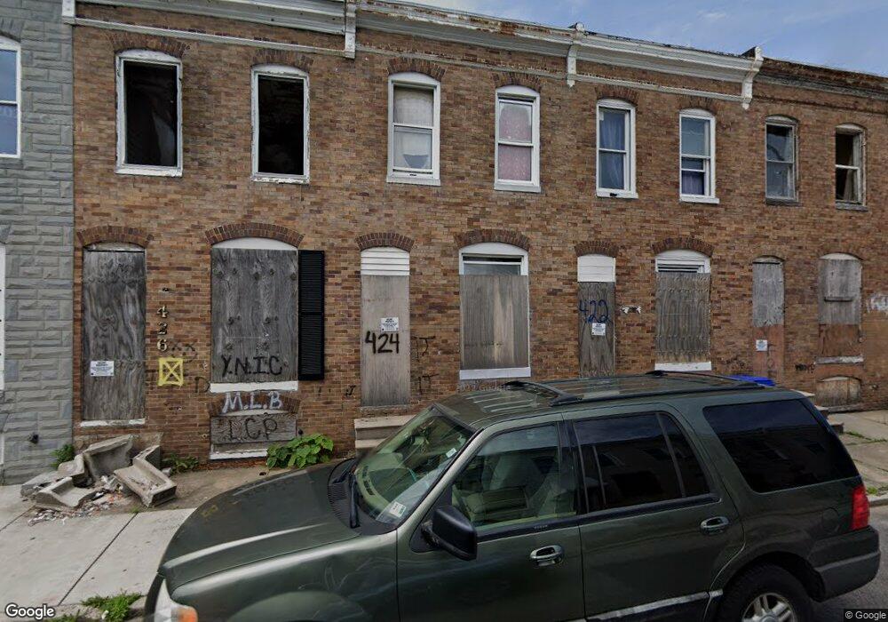
424 Furrow St Baltimore, MD 21223
Carrollton Ridge NeighborhoodEstimated Value: $55,976 - $143,000
3
Beds
1
Bath
910
Sq Ft
$109/Sq Ft
Est. Value
About This Home
This home is located at 424 Furrow St, Baltimore, MD 21223 and is currently estimated at $99,488, approximately $109 per square foot. 424 Furrow St is a home located in Baltimore City with nearby schools including Booker T. Washington Middle School, Edmondson Westside High School, and Digital Harbor High School.
Ownership History
Date
Name
Owned For
Owner Type
Purchase Details
Closed on
Apr 9, 2025
Sold by
Tk Real Estate Group Inc
Bought by
424 Furrow St Llc
Current Estimated Value
Purchase Details
Closed on
Mar 10, 2023
Sold by
Moiseyev Michael
Bought by
Tk Real Estate Group Inc
Purchase Details
Closed on
Oct 25, 2006
Sold by
Ccs Development Llc
Bought by
Aventura Construction Llc
Purchase Details
Closed on
Jan 14, 2004
Sold by
Taylor William S
Bought by
Ccs Development L L C
Create a Home Valuation Report for This Property
The Home Valuation Report is an in-depth analysis detailing your home's value as well as a comparison with similar homes in the area
Home Values in the Area
Average Home Value in this Area
Purchase History
| Date | Buyer | Sale Price | Title Company |
|---|---|---|---|
| 424 Furrow St Llc | $20,000 | Golden Trust Title | |
| Tk Real Estate Group Inc | $2,827 | None Listed On Document | |
| Tk Real Estate Group Inc | $2,827 | None Listed On Document | |
| Aventura Construction Llc | $27,500 | -- | |
| Ccs Development L L C | $16,000 | -- |
Source: Public Records
Tax History Compared to Growth
Tax History
| Year | Tax Paid | Tax Assessment Tax Assessment Total Assessment is a certain percentage of the fair market value that is determined by local assessors to be the total taxable value of land and additions on the property. | Land | Improvement |
|---|---|---|---|---|
| 2025 | $277 | $13,400 | -- | -- |
| 2024 | $277 | $11,800 | $0 | $0 |
| 2023 | $241 | $10,200 | $2,000 | $8,200 |
| 2022 | $208 | $8,800 | $0 | $0 |
| 2021 | $175 | $7,400 | $0 | $0 |
| 2020 | $142 | $6,000 | $2,000 | $4,000 |
| 2019 | $587 | $25,000 | $5,000 | $20,000 |
| 2018 | $590 | $25,000 | $5,000 | $20,000 |
| 2017 | $708 | $30,000 | $0 | $0 |
| 2016 | $711 | $30,000 | $0 | $0 |
| 2015 | $711 | $30,000 | $0 | $0 |
| 2014 | $711 | $30,000 | $0 | $0 |
Source: Public Records
Map
Nearby Homes
- 454 Furrow St
- 452 Furrow St
- 439 S Bentalou St
- 2202 Ashton St
- 478 S Bentalou St
- 480 S Bentalou St
- 510 S Smallwood St
- 423 Furrow St
- 2228 Christian St
- 426 S Smallwood St
- 519 S Bentalou St
- 419 Furrow St
- 420 S Smallwood St
- 411 Furrow St
- 430 S Bentalou St
- 2227 Christian St
- 2241 Ramsay St
- 406 S Smallwood St
- 527 S Smallwood St
- 2230 Wilkens Ave
- 426 Furrow St
- 420 Furrow St
- 428 Furrow St
- 430 Furrow St
- 418 Furrow St
- 432 Furrow St
- 416 Furrow St
- 434 Furrow St
- 414 Furrow St
- 412 Furrow St
- 436 Furrow St
- 411 S Bentalou St
- 413 S Bentalou St
- 409 S Bentalou St
- 415 S Bentalou St
- 407 S Bentalou St
- 417 S Bentalou St
- 438 Furrow St
- 405 S Bentalou St
- 2246 W W St