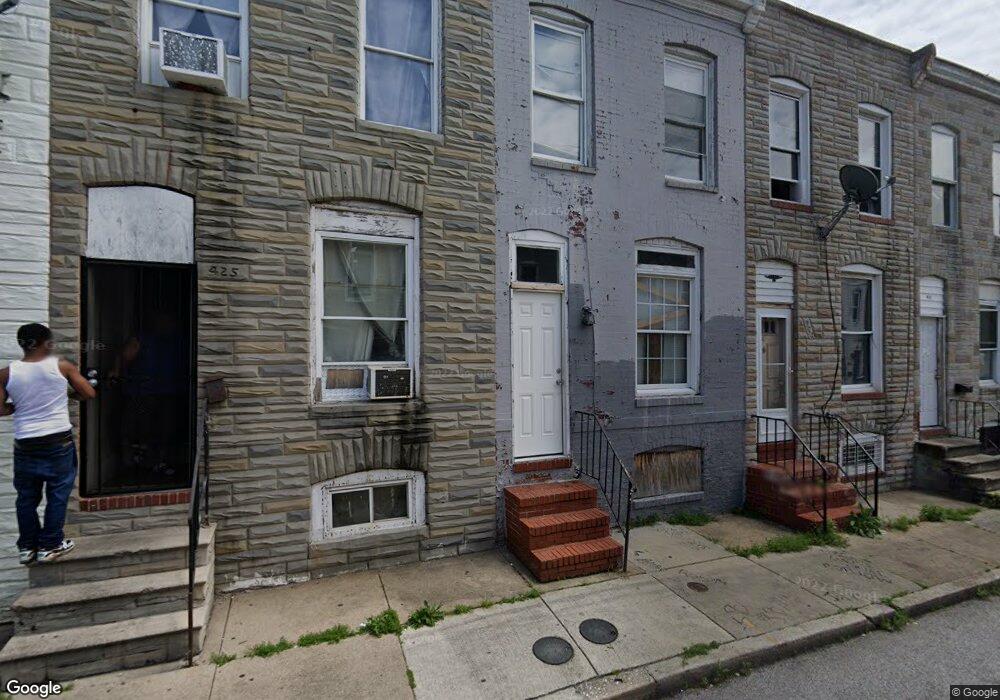
427 Furrow St Baltimore, MD 21223
Carrollton Ridge NeighborhoodEstimated Value: $106,000 - $113,373
--
Bed
1
Bath
910
Sq Ft
$121/Sq Ft
Est. Value
About This Home
This home is located at 427 Furrow St, Baltimore, MD 21223 and is currently estimated at $109,687, approximately $120 per square foot. 427 Furrow St is a home located in Baltimore City with nearby schools including Booker T. Washington Middle School, Edmondson Westside High School, and Digital Harbor High School.
Ownership History
Date
Name
Owned For
Owner Type
Purchase Details
Closed on
Apr 29, 2016
Sold by
Cab Development Llc
Bought by
House Hustlers Llc
Current Estimated Value
Purchase Details
Closed on
Mar 7, 2005
Sold by
Bank One National
Bought by
Cab Development Llc
Purchase Details
Closed on
Jul 6, 2004
Sold by
James Gerald
Bought by
Bank One National Association
Purchase Details
Closed on
Oct 6, 1999
Sold by
Vogel Etta R
Bought by
James Gerald
Purchase Details
Closed on
May 10, 1999
Sold by
Watkins Kevin
Bought by
Vogel Etta R
Purchase Details
Closed on
Aug 21, 1996
Sold by
Vogel Etta R
Bought by
Watkins Kevin
Create a Home Valuation Report for This Property
The Home Valuation Report is an in-depth analysis detailing your home's value as well as a comparison with similar homes in the area
Home Values in the Area
Average Home Value in this Area
Purchase History
| Date | Buyer | Sale Price | Title Company |
|---|---|---|---|
| House Hustlers Llc | $16,000 | Dulaney Title & Escrow Llc | |
| Cab Development Llc | $12,000 | -- | |
| Bank One National Association | $22,000 | -- | |
| James Gerald | $8,000 | -- | |
| Vogel Etta R | $7,500 | -- | |
| Watkins Kevin | $29,000 | -- |
Source: Public Records
Tax History Compared to Growth
Tax History
| Year | Tax Paid | Tax Assessment Tax Assessment Total Assessment is a certain percentage of the fair market value that is determined by local assessors to be the total taxable value of land and additions on the property. | Land | Improvement |
|---|---|---|---|---|
| 2025 | $642 | $31,667 | -- | -- |
| 2024 | $642 | $27,333 | $0 | $0 |
| 2023 | $543 | $23,000 | $4,000 | $19,000 |
| 2022 | $480 | $20,333 | $0 | $0 |
| 2021 | $417 | $17,667 | $0 | $0 |
| 2020 | $354 | $15,000 | $3,000 | $12,000 |
| 2019 | $352 | $15,000 | $3,000 | $12,000 |
| 2018 | $354 | $15,000 | $3,000 | $12,000 |
| 2017 | $708 | $30,000 | $0 | $0 |
| 2016 | $711 | $30,000 | $0 | $0 |
| 2015 | $711 | $30,000 | $0 | $0 |
| 2014 | $711 | $30,000 | $0 | $0 |
Source: Public Records
Map
Nearby Homes
- 419 Furrow St
- 423 Furrow St
- 411 Furrow St
- 420 S Smallwood St
- 426 S Smallwood St
- 406 S Smallwood St
- 2202 Ashton St
- 2241 Ramsay St
- 452 Furrow St
- 454 Furrow St
- 347 S Smallwood St
- 342 S Smallwood St
- 328 Furrow St
- 430 S Bentalou St
- 510 S Smallwood St
- 408 S Bentalou St
- 478 S Bentalou St
- 480 S Bentalou St
- 406 S Pulaski St
- 2228 Christian St
- 425 Furrow St
- 429 Furrow St
- 2246 W W St
- 431 Furrow St
- 421 Furrow St
- 433 Furrow St
- 435 Furrow St
- 417 Furrow St
- 437 Furrow St
- 424 S Smallwood St
- 428 S Smallwood St
- 415 Furrow St
- 439 Furrow St
- 430 S Smallwood St
- 432 S Smallwood St
- 418 S Smallwood St
- 441 Furrow St
- 413 Furrow St
- 416 S Smallwood St
- 428 Furrow St