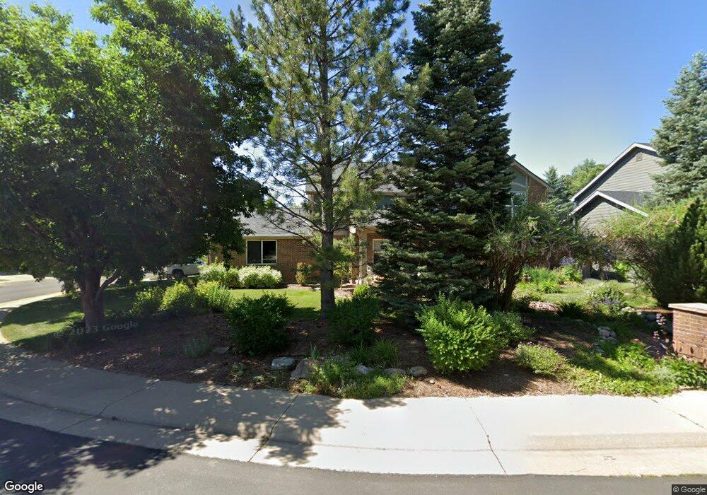
427 Orchard Way Louisville, CO 80027
Estimated Value: $1,092,000 - $1,313,000
4
Beds
3
Baths
2,822
Sq Ft
$423/Sq Ft
Est. Value
About This Home
This home is located at 427 Orchard Way, Louisville, CO 80027 and is currently estimated at $1,194,738, approximately $423 per square foot. 427 Orchard Way is a home located in Boulder County with nearby schools including Monarch K-8 School, Monarch High School, and The Goddard School - Louisville.
Ownership History
Date
Name
Owned For
Owner Type
Purchase Details
Closed on
Dec 29, 1998
Sold by
Community Bank Of Parker
Bought by
Boulet William P
Current Estimated Value
Home Financials for this Owner
Home Financials are based on the most recent Mortgage that was taken out on this home.
Original Mortgage
$210,000
Interest Rate
6.74%
Purchase Details
Closed on
Oct 14, 1998
Sold by
Landau & Associates X Llc
Bought by
Community Bank Of Parker
Purchase Details
Closed on
Oct 21, 1996
Sold by
The Meadows At Coal Creek Corp
Bought by
Landau & Associates X Llc
Home Financials for this Owner
Home Financials are based on the most recent Mortgage that was taken out on this home.
Original Mortgage
$66,600
Interest Rate
10%
Mortgage Type
Seller Take Back
Create a Home Valuation Report for This Property
The Home Valuation Report is an in-depth analysis detailing your home's value as well as a comparison with similar homes in the area
Home Values in the Area
Average Home Value in this Area
Purchase History
| Date | Buyer | Sale Price | Title Company |
|---|---|---|---|
| Boulet William P | $275,000 | -- | |
| Community Bank Of Parker | $250,601 | -- | |
| Landau & Associates X Llc | $66,600 | -- |
Source: Public Records
Mortgage History
| Date | Status | Borrower | Loan Amount |
|---|---|---|---|
| Closed | Boulet William P | $210,000 | |
| Previous Owner | Landau & Associates X Llc | $66,600 |
Source: Public Records
Tax History Compared to Growth
Tax History
| Year | Tax Paid | Tax Assessment Tax Assessment Total Assessment is a certain percentage of the fair market value that is determined by local assessors to be the total taxable value of land and additions on the property. | Land | Improvement |
|---|---|---|---|---|
| 2025 | $5,578 | $68,300 | $38,206 | $30,094 |
| 2024 | $5,578 | $68,300 | $38,206 | $30,094 |
| 2023 | $5,484 | $68,762 | $39,537 | $32,910 |
| 2022 | $4,460 | $53,293 | $28,384 | $24,909 |
| 2021 | $4,740 | $58,330 | $31,067 | $27,263 |
| 2020 | $4,914 | $52,510 | $27,599 | $24,911 |
| 2019 | $4,844 | $52,510 | $27,599 | $24,911 |
| 2018 | $4,391 | $49,147 | $17,712 | $31,435 |
| 2017 | $4,303 | $54,335 | $19,582 | $34,753 |
| 2016 | $4,025 | $45,754 | $19,582 | $26,172 |
| 2015 | $3,815 | $40,978 | $9,791 | $31,187 |
| 2014 | $3,503 | $40,978 | $9,791 | $31,187 |
Source: Public Records
Map
Nearby Homes
- 749 Apple Ct
- 362 S Taft Ct Unit 108
- 284 S Taft Ct Unit 76
- 305 S Taft Ct Unit 33
- 323 S Taft Ct Unit 26
- 279 S Taft Ct Unit 53
- 546 Ridgeview Dr
- 572 Ridgeview Dr
- 567 Manorwood Ln
- 539 Coal Creek Ln
- 620 Ridgeview Dr
- 641 W Dahlia St
- 716 Club Cir
- 730 Copper Ln Unit 106
- 159 S Polk Ave
- 118 S Tanager Ct
- 203 Springs Dr
- 812 W Mulberry St
- 499 Muirfield Cir
- 497 Muirfield Cir